Another 650kms today (21st Aug), this time Boulia to Porcupine National Park. At least all of today’s driving was on sealed roads, albeit single lane sealed roads, which mean every time another car approaches both cars have to peel off onto the shoulder and share the bitumen, and when a road train comes through, well you just have to pull off the road entirely and wait for it to pass.
Let me start the narrative of this post by saying that central Queensland is lots of plains of nothingness. Just sparse, very lightly grassed dirt as far as the eye can see in any direction. We assume the current drought is affecting conditions somewhat, but even with more grass, it’d still be very empty to all horizons. The only inhabitants seem to be apathetic cows who mournfully watch us drive by, the odd kangaroo, brolgas and wedge tail eagles who were making the most of the kanga’s that didn’t make it across the road in time.
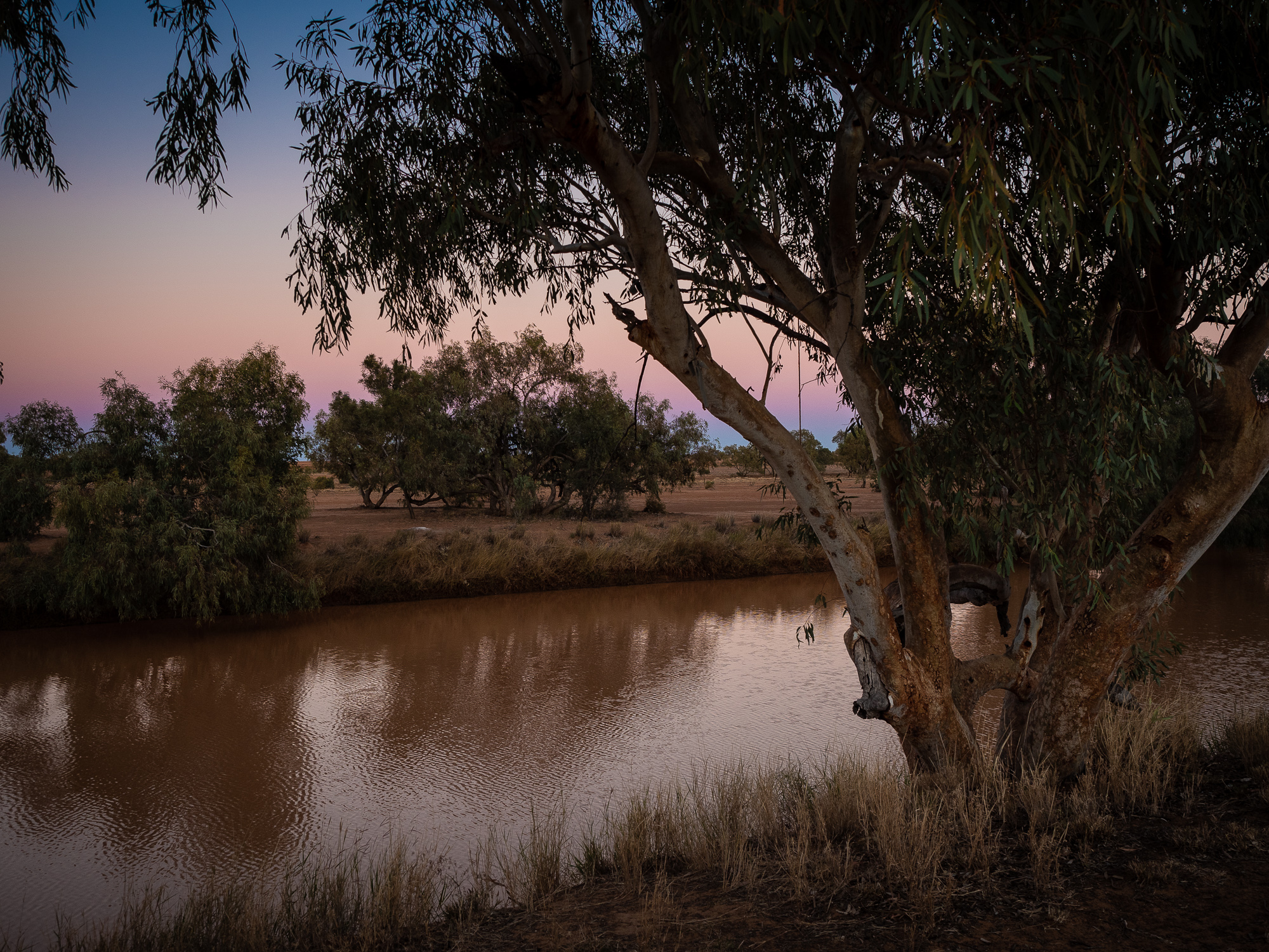
<< Photo credit: Tony – Bengecca Creek in the pre-dawn light, just outside of Boulia. This pic was taken from the door of the Goldy, before we packed up and left >>
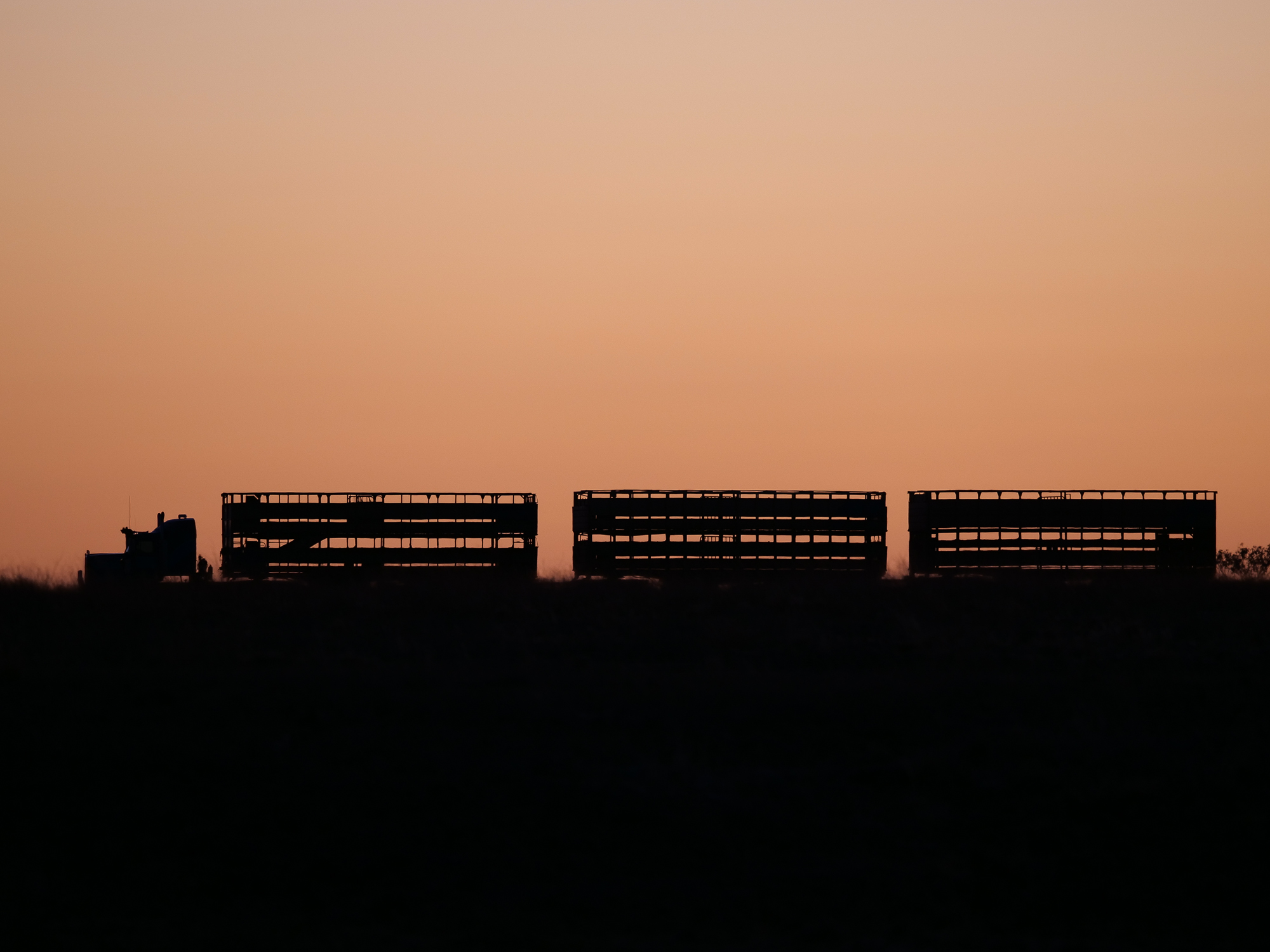
<< Photo credit: Rod – Roadtrain passing through near Bengecca Creek, our freecamp just outside of Boulia. >>
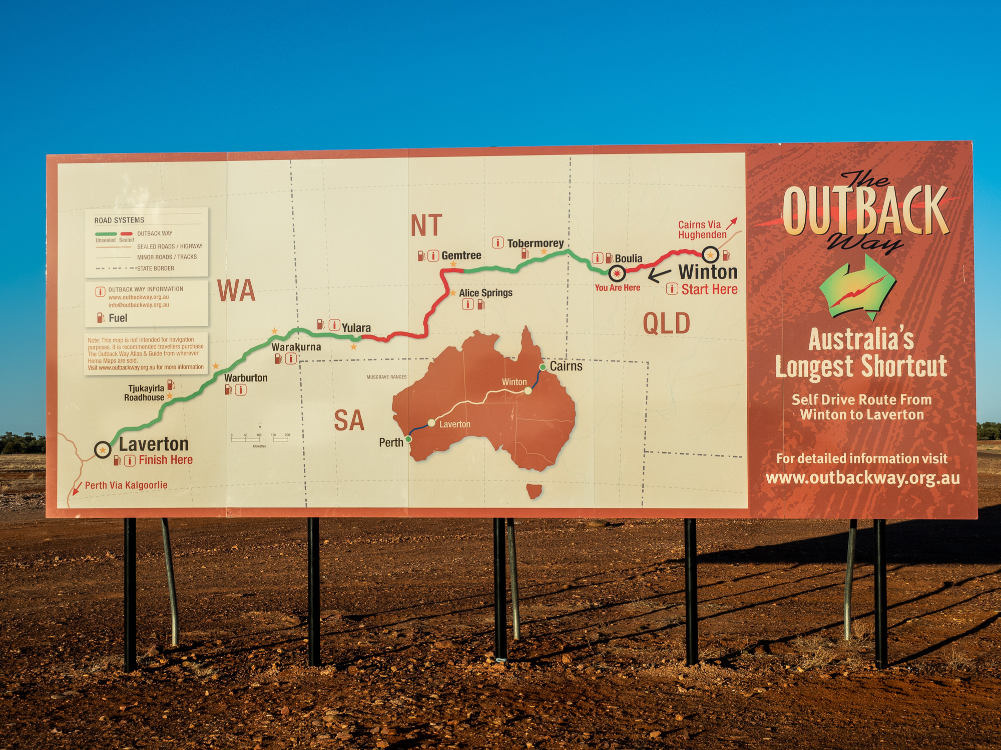
<< Photo credit: Tony – We’ve completed the Longest Shortcut in Australia, from West (Laverton) to East (Boulia) >>

<< Photo credit: Rod – A pair of Brolgas in the fields >>
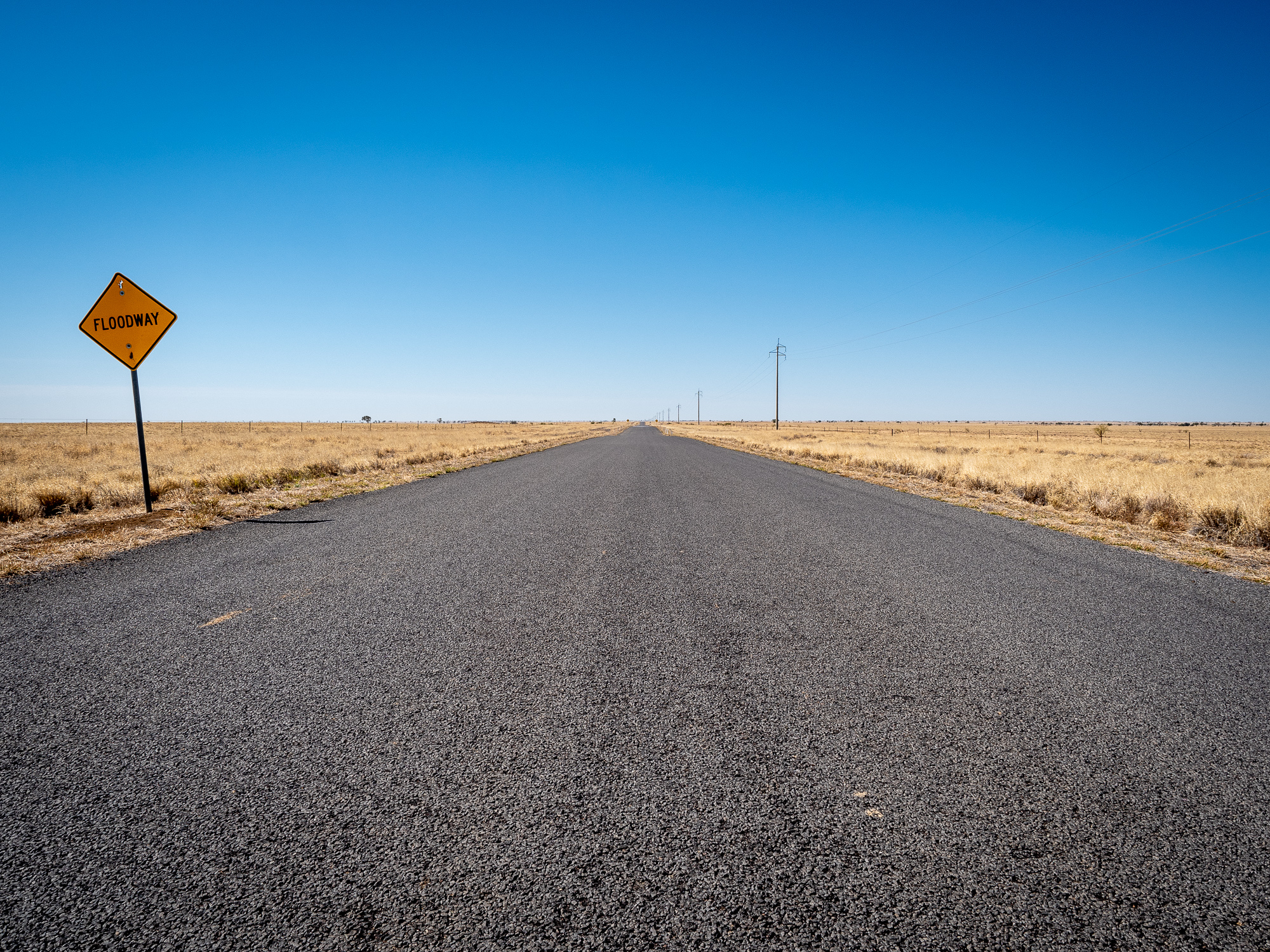
<< Photo credit: Tony – Literally on “The Road To Nowhere”, just north of Winton >>
With another really strong headwind, and no trees to break it up, it meant most of the day was spent struggling to keep the car moving forwards with enough revs to maintain a decent gear without having to watch the fuel gauge drop exponentially quick.
First stop of the day was the Cawnpore lookout which provided a nice break to the barren plains. The wind was bitingly cold but the view was good, and you could easily imagine playing a great game of Cowboys and Indians out here. But then it was back into the WestWorld looking prairie of the Queensland central-west.
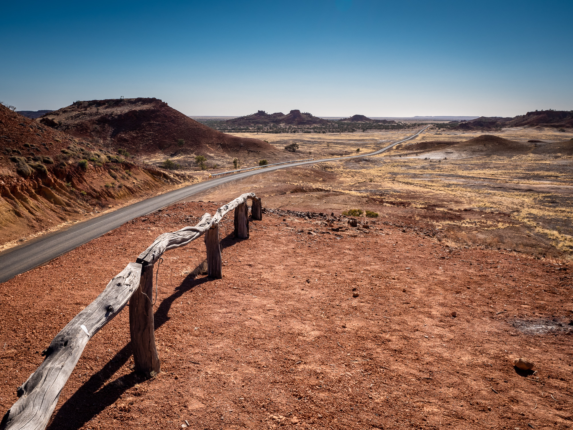
<< Photo credit: Tony – The cowboys and indians vista from the Cawnpore Lookout >>
Next stop was the Middleton Pub, which we believe is the only surviving original Cobb & Co stop across central Queensland. We stopped in for a quick chat to the owners and grabbed some pics. We would have partaken in a quick beer at the bar, however, we were a couple hours too early, and more importantly, they didn’t sell beer on tap, only in tinnies, and I can buy a XXXX in a tinnie anywhere so the nostalgia is quickly lost. Despite that, it was a nice stop to stretch the legs and yet again wonder at how hard the old timers must have done it, making this trip by horseback, or at best by coach, all the while being chased by the Min Min Lights (Google it)..
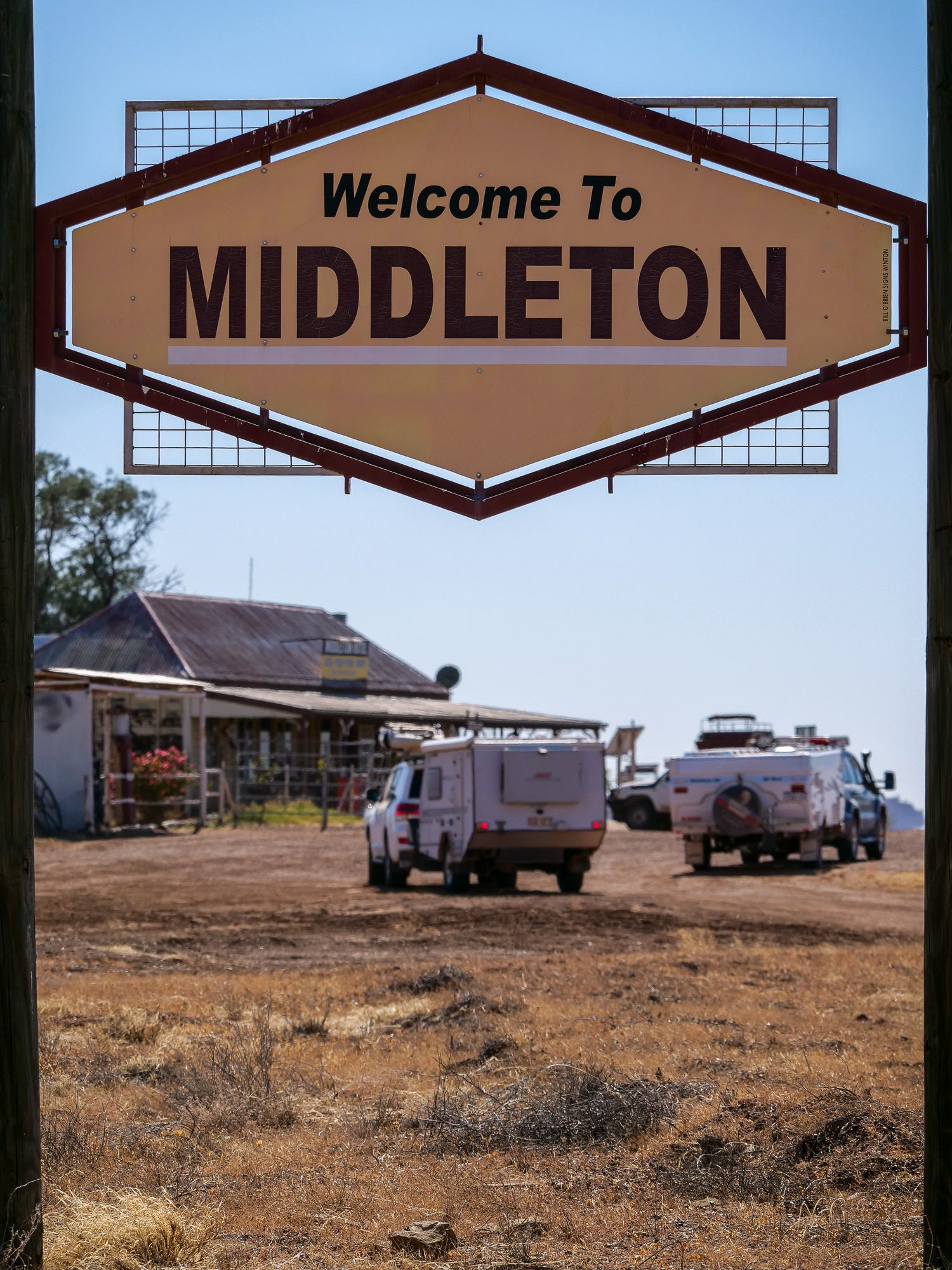
<< Photo credit: Rod – Now arriving at the Middleton Pub, the last surviving Cobb & Co stop >>
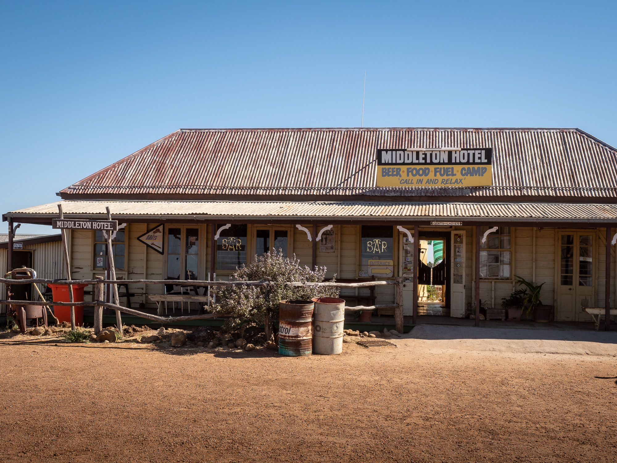
<< Photo credit: Tony – The Middleton Pub, the last surviving Cobb & Co stop >>
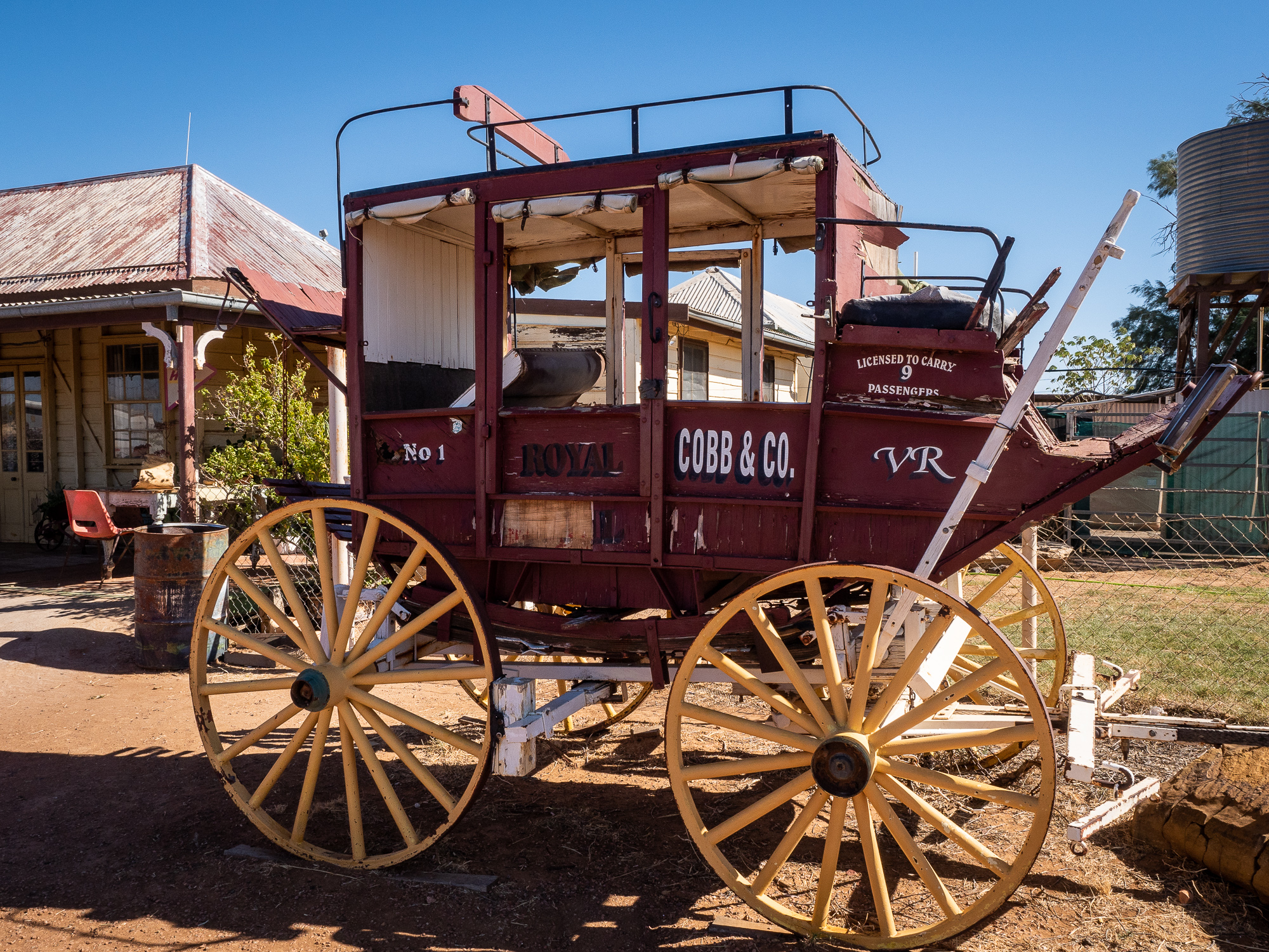
<< Photo credit: Tony – An old horse drawn carriage at The Middleton Pub, the last surviving Cobb & Co stop >>
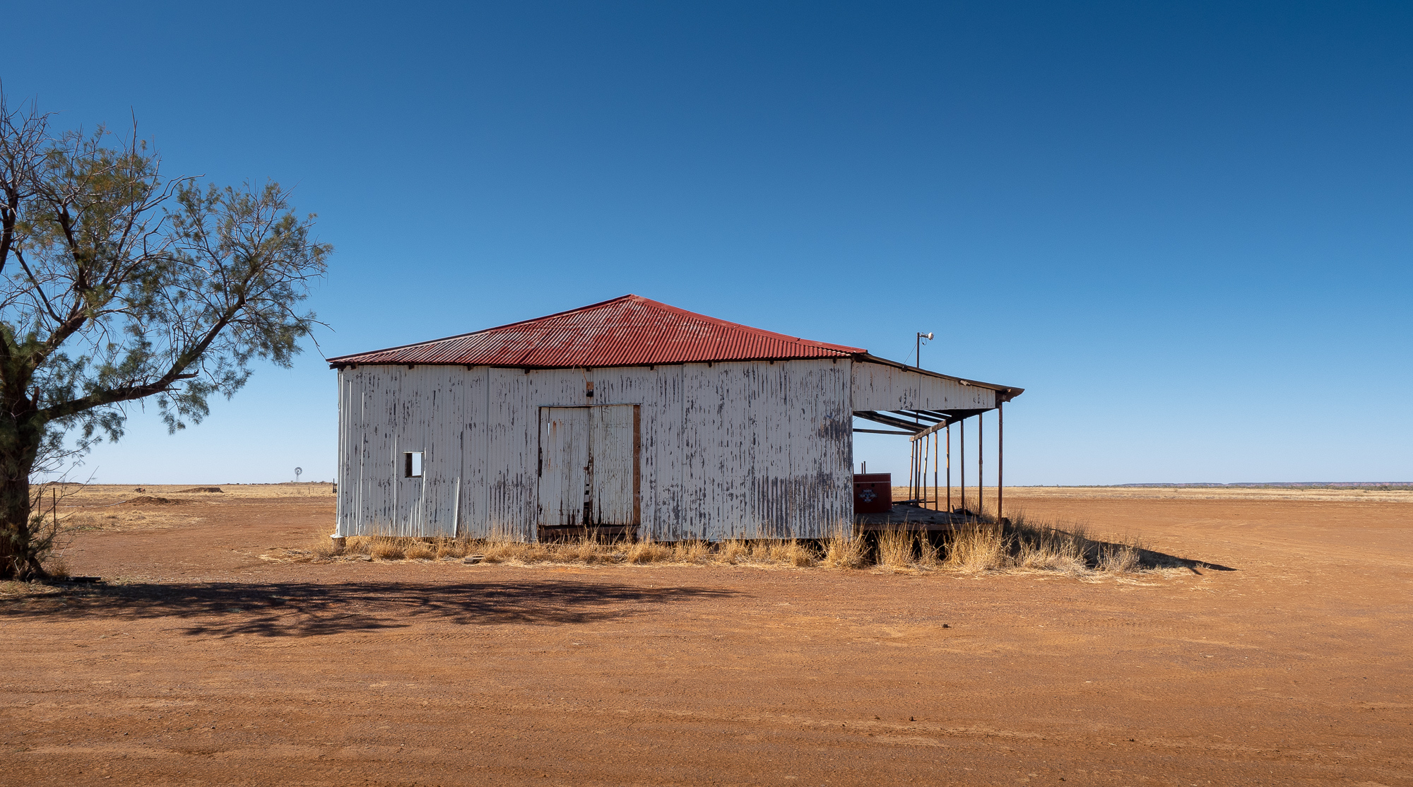
<< Photo credit: Tony – An old tin shed opposite The Middleton Pub, the last surviving Cobb & Co stop >>
Resupplies, more fuel and lunch in Winton was nice, before we headed north east towards Hughenden and then out to Porcupine National Park. We were lucky this time, only picking up a very small chip in the windscreen from a passing caravan, nothing worth worrying about, but BJ got a full blown cracked screen from a passing roadtrain that’ll need some windscreen repair attention when we make it to civilisation again.
Ending our days drive towards 5pm, we pulled into our pre-booked bays at Porcupine National Park Campground and took a couple of quick photos in the afternoon sun, before retiring for the night.
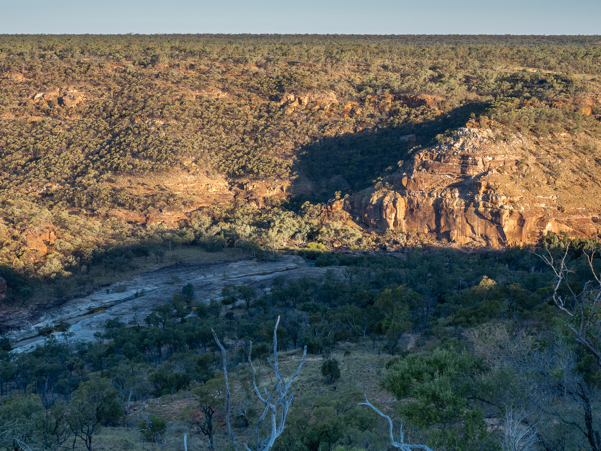
<< Photo credit: Tony – Pyramid Rock from the rim lookout in the afternoon sunlight at Porcupine Gorge >>
A quick brekkie and we hiked down into Porcupine Gorge to take a proper look at Pyramid Rock. It’s pretty impressive from the rim lookout, but is very nice from the bottom of the gorge, along the river bed. Amazing to think how the little Porcupine Creek could wear down such a huge gorge over the last millennia. After catching our breath having hiked back up and out of the gorge, we then had a nice short, 300km, drive to our camp for the next few days, Pinnarendi Station, the exploits of which will be discussed in our next blog post.
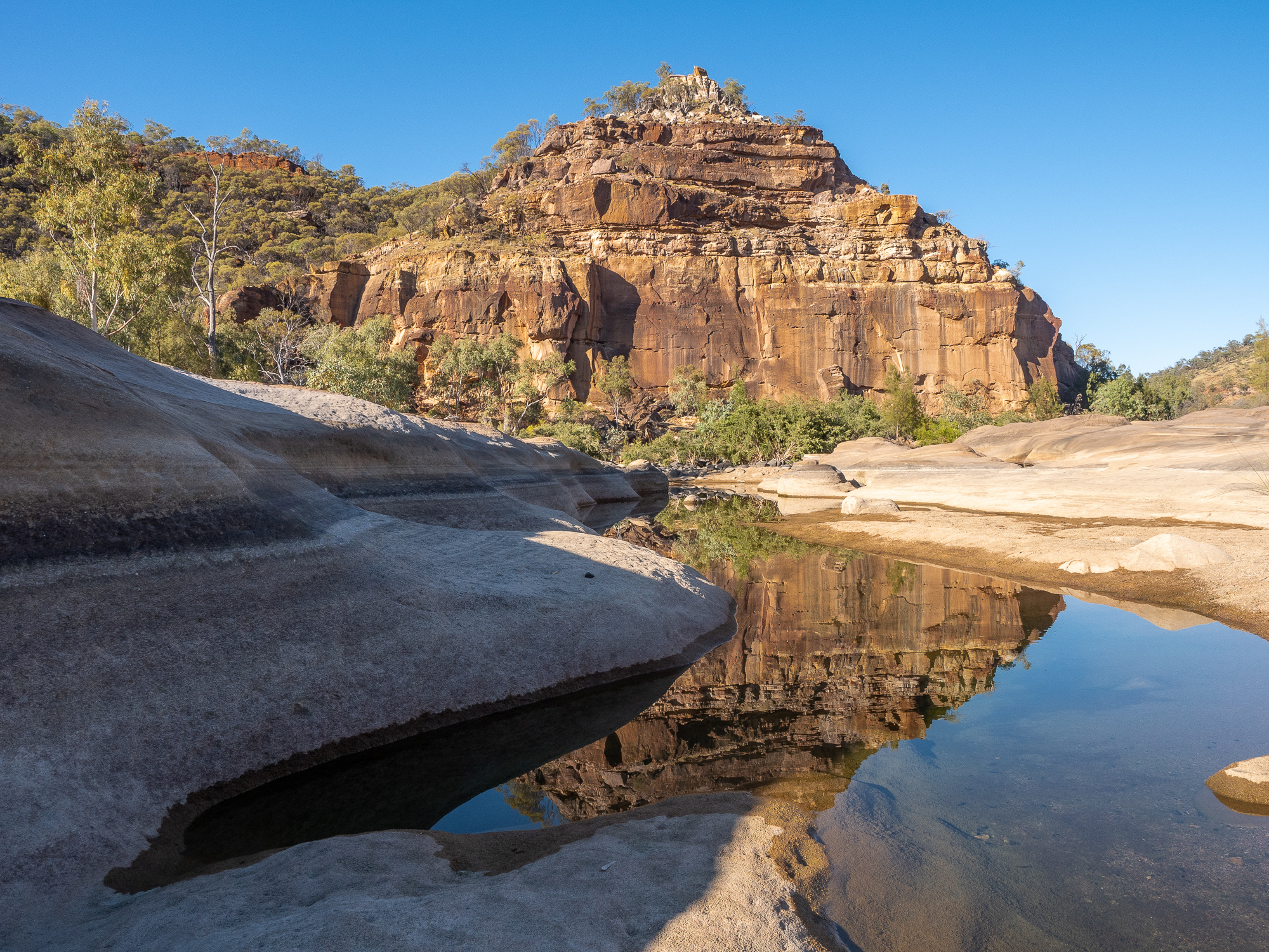
<< Photo credit: Tony – Pyramid Rock from gorge floor >>
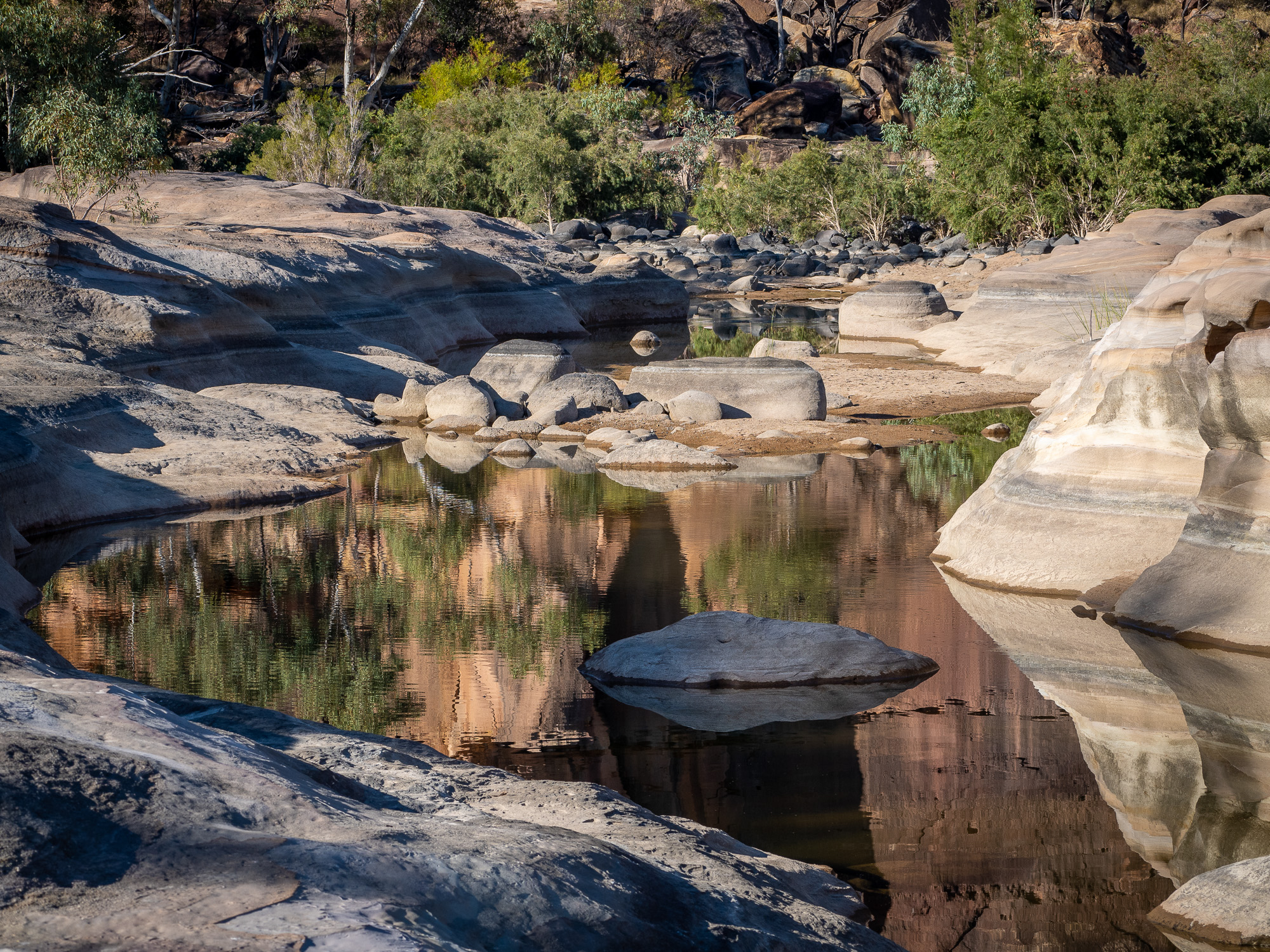
<< Photo credit: Tony – Porcupine Creek reflections >>
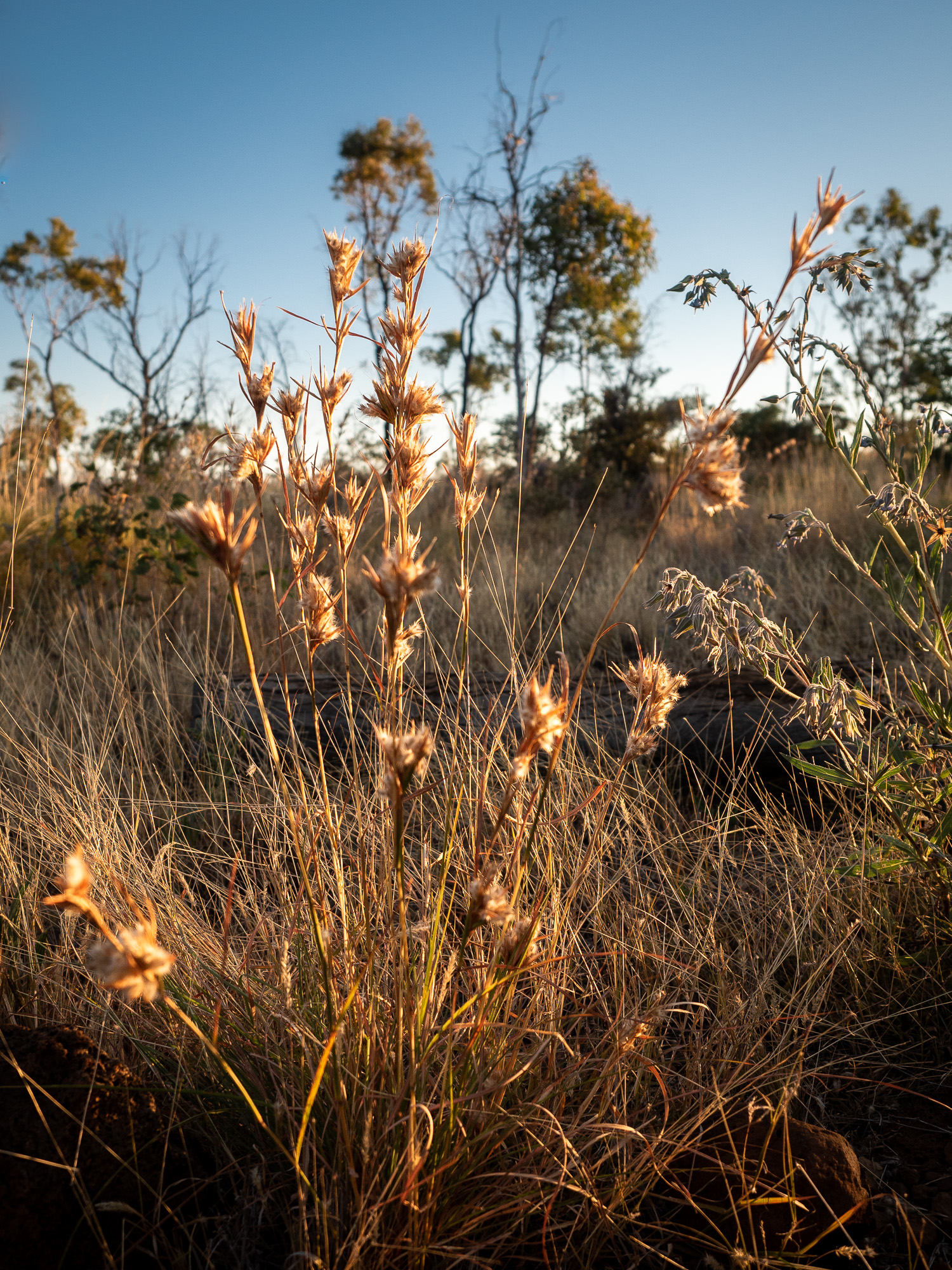
<< Photo credit: Tony – Grasses at Porcupine Gorge >>
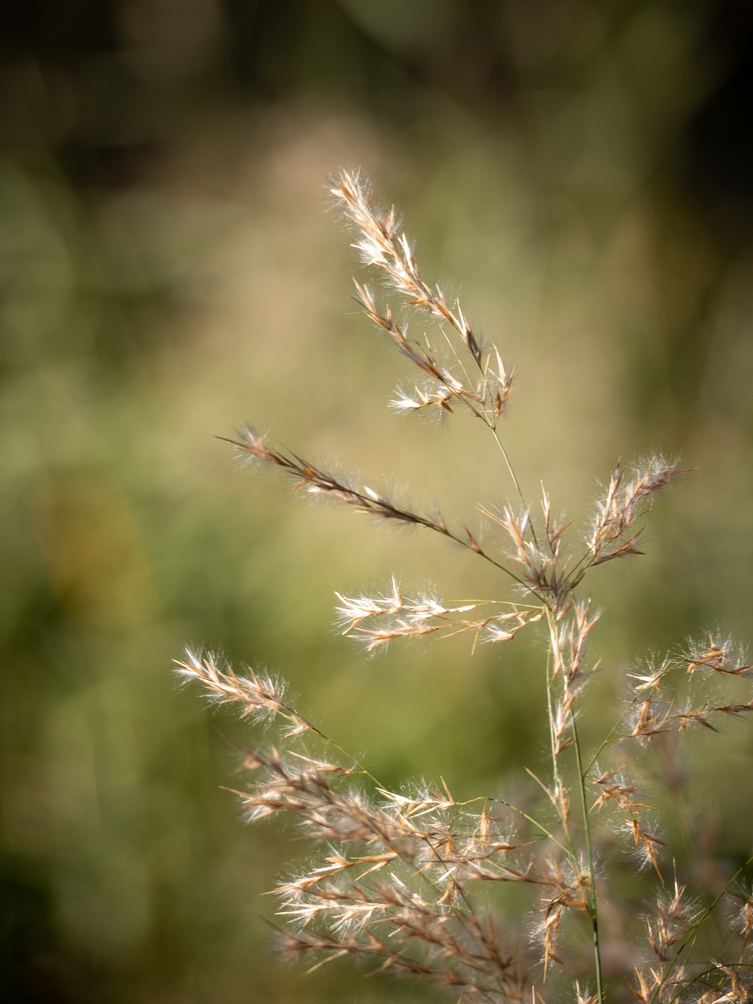
<< Photo credit: Tony – Grasses at Porcupine Gorge >>
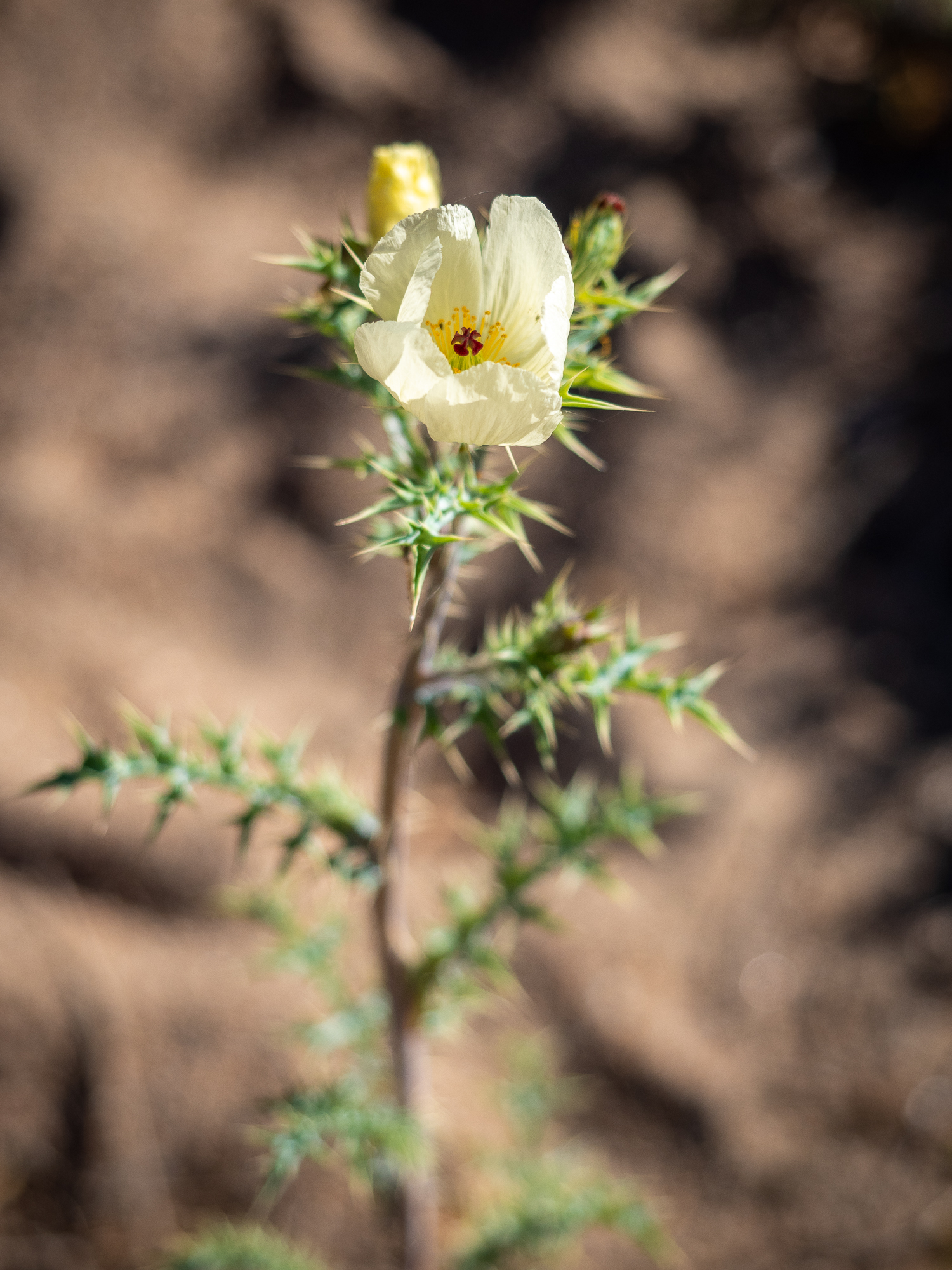
<< Photo credit: Tony – Even prickles can be beautiful, at Porcupine Gorge >>
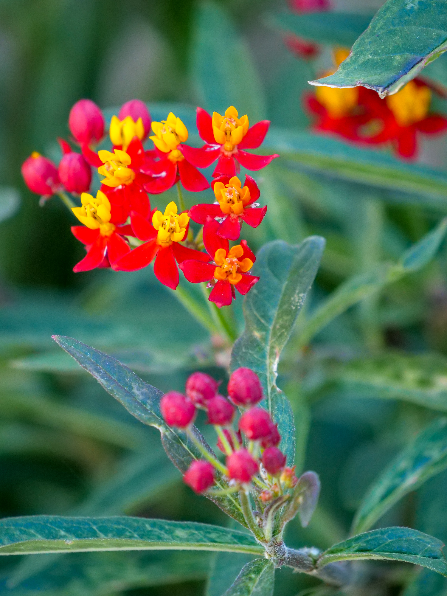
<< Photo credit: Rod – Flowers at Porcupine Gorge >>
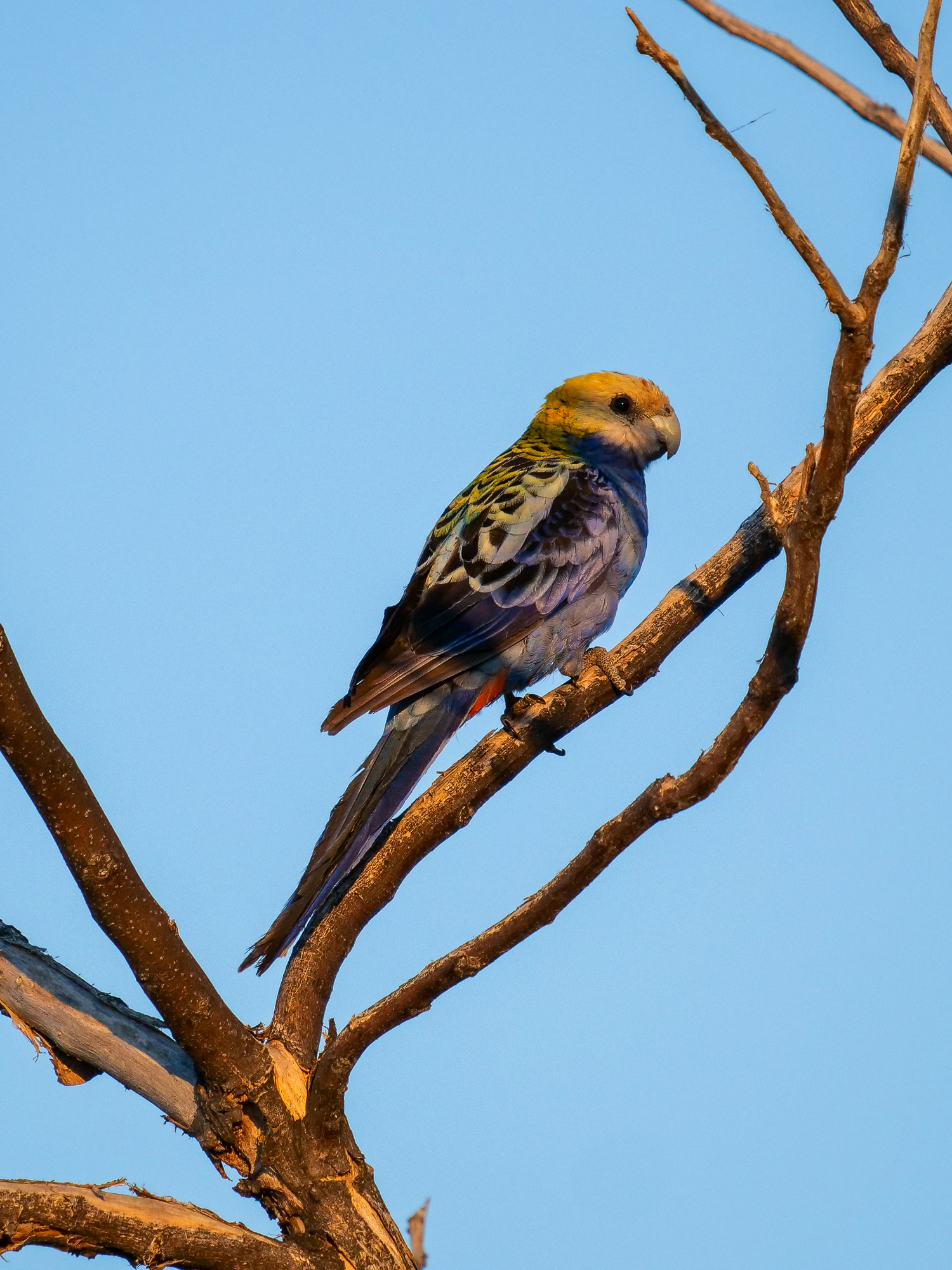
<< Photo credit: Rod – Pale Headed Rosella at Porcupine Gorge >>
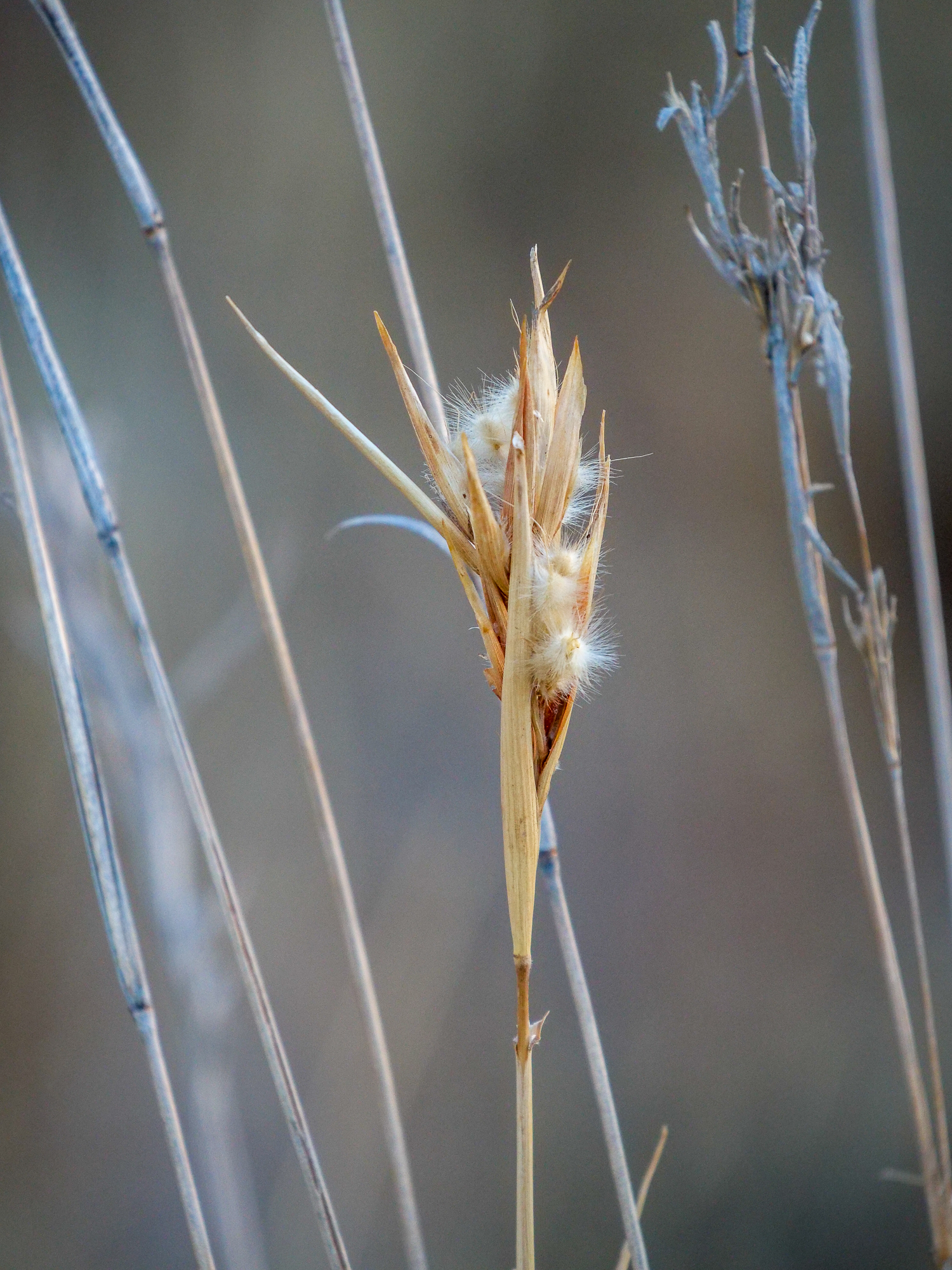
<< Photo credit: Rod – Grasses at Porcupine Gorge >>
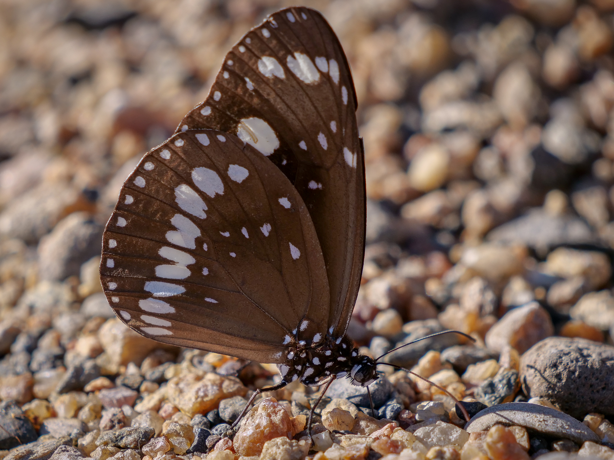
<< Photo credit: Rod – Butterfly at Porcupine Gorge >>
Some nice snaps there fellas and interesting read, Middleton Pub has some stories to tell I bet. I agree some of that landscape is so Westworld…sheesh
Another great blog. Might have to take a “shortcut” someday.