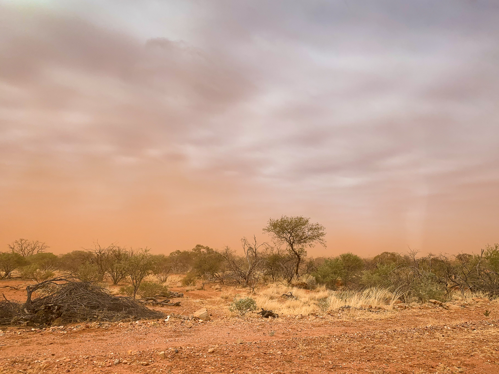
Wind and dust! Sounds like a title to a Midnight Oil song, but that’s what we faced on our drive from Mt Augustus to Kennedy Ranges, some 270kms away. The wind seemed to get stronger and the dust thicker, at times completely obscuring the road and drifts of dust running down the windscreen. So much so that I literally had to stop at times to wait for the clouds of dust to clear enough so I could see the road and safely continue.
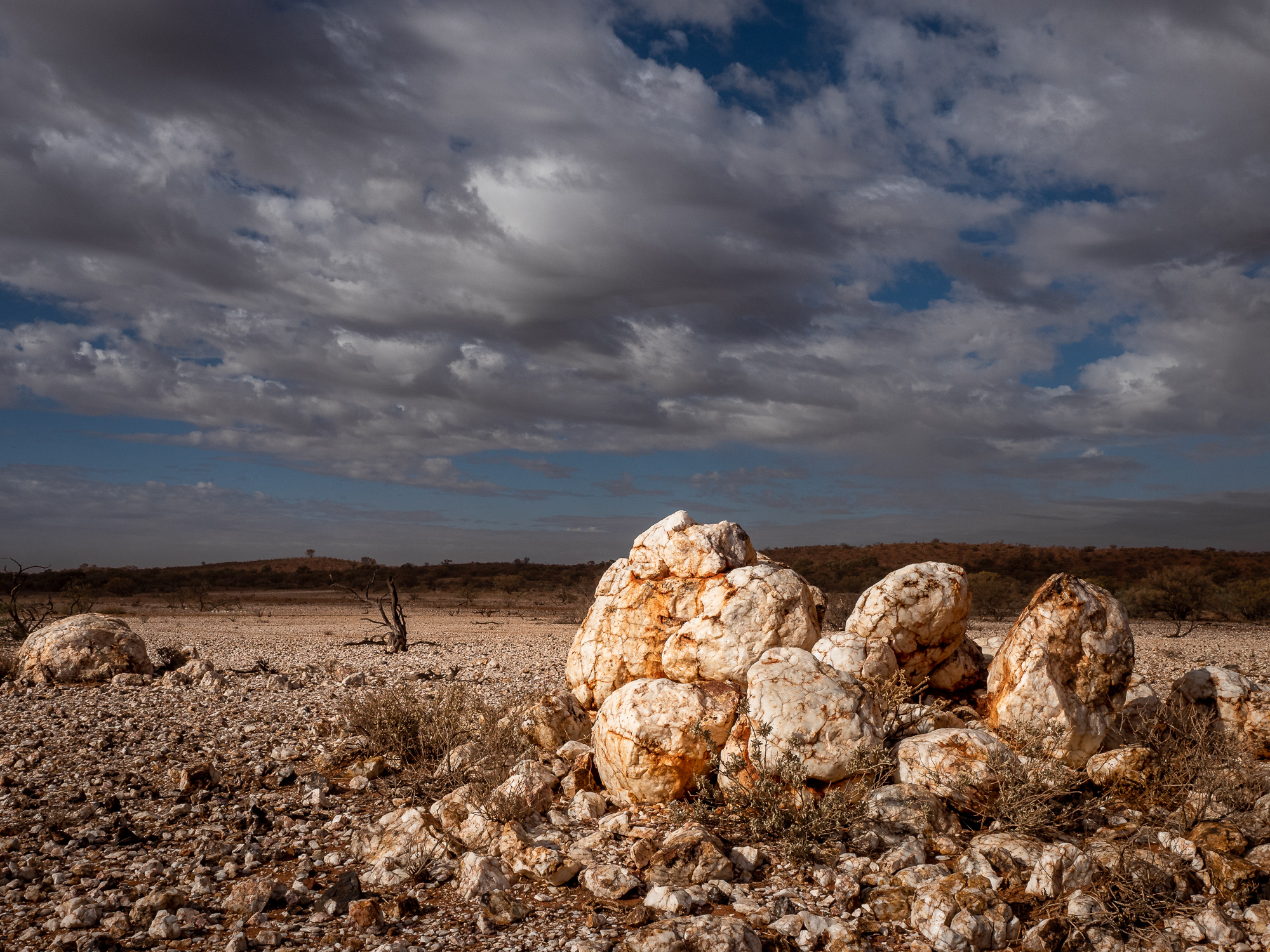
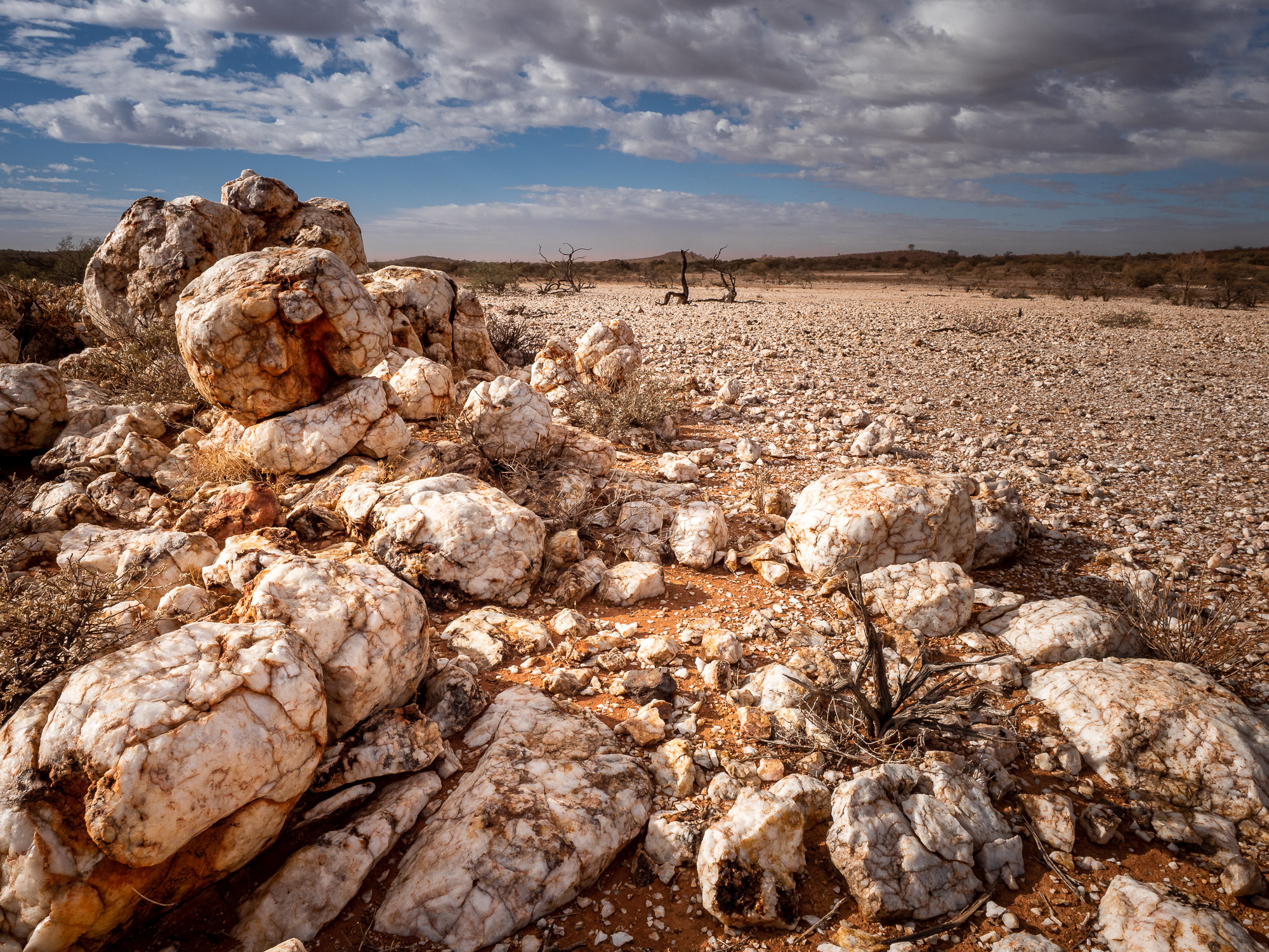
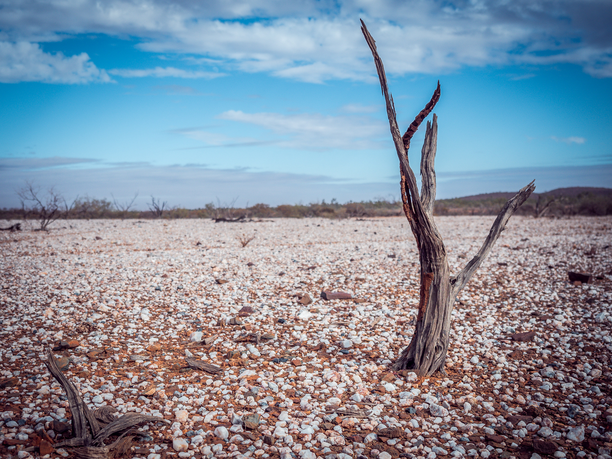
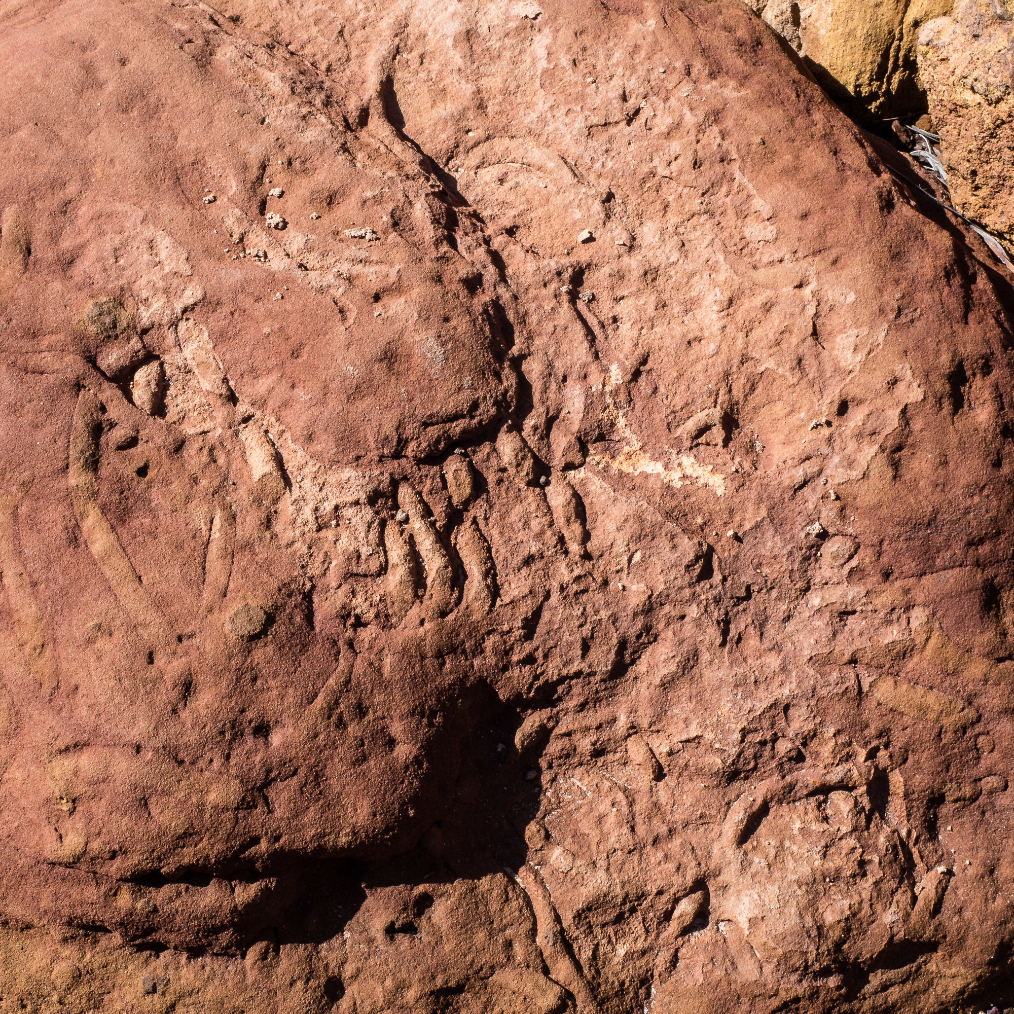
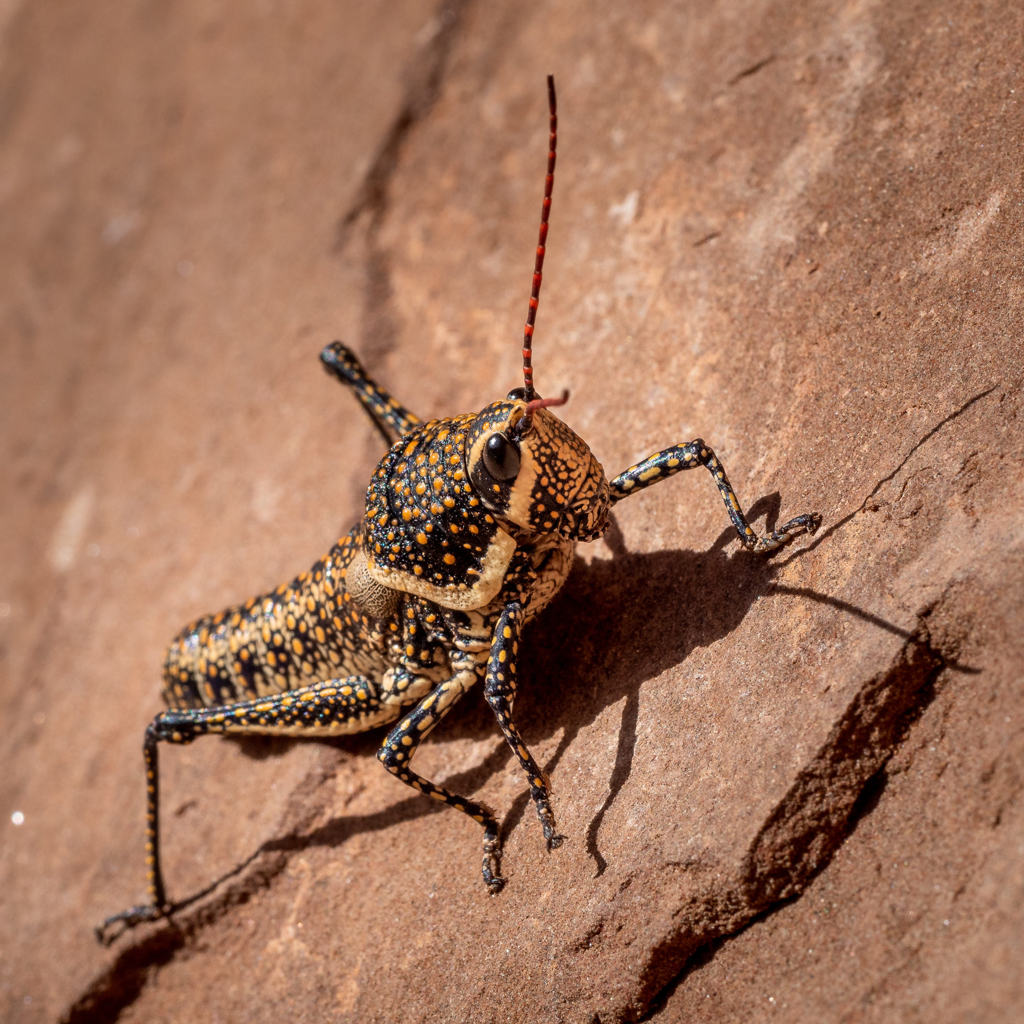
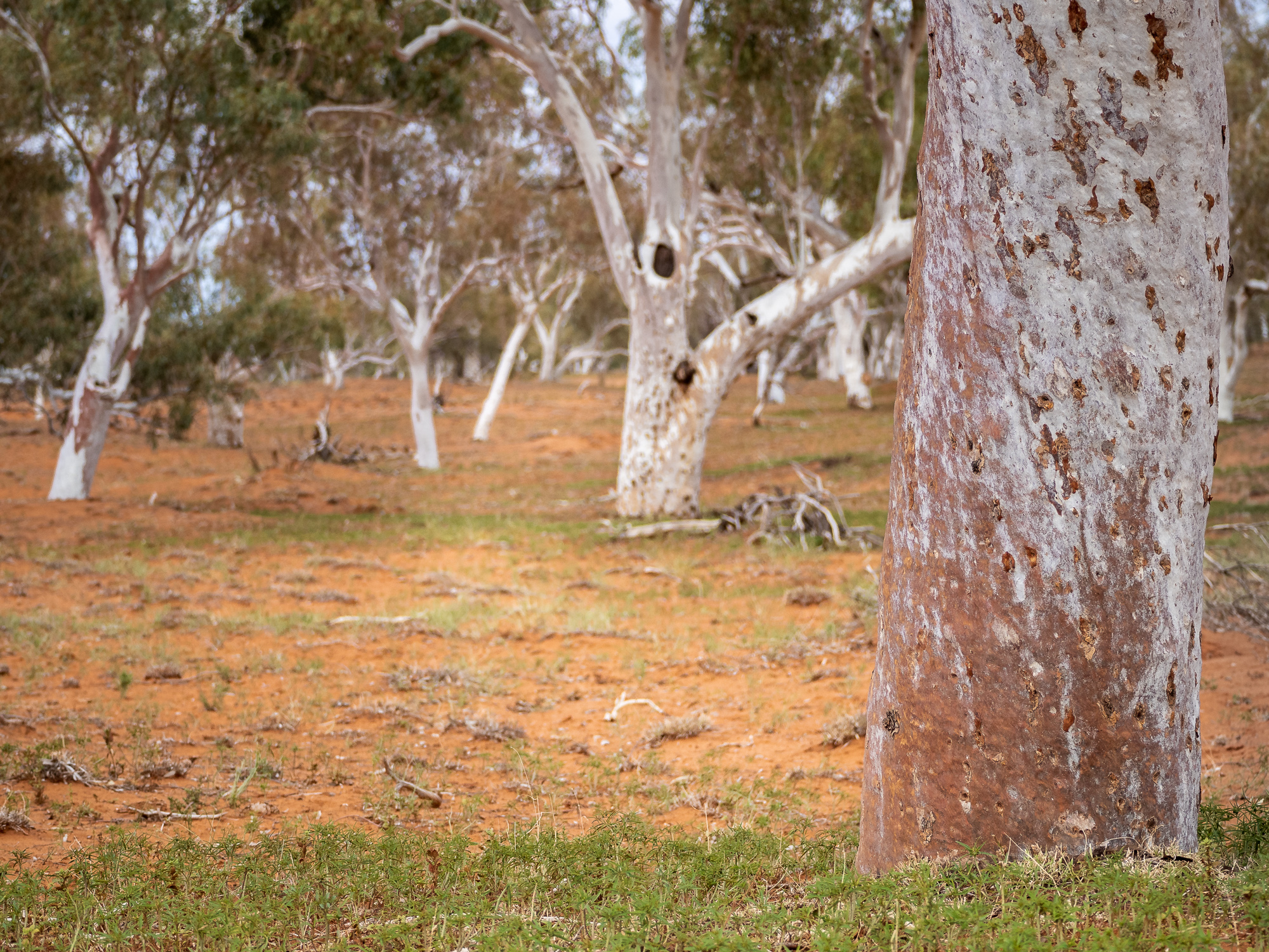
Other than the wind and dust challenges the drive in was enjoyable though, with lots of dry rivers and creek beds to cross and the continuation of the ever-changing rocks blanketing the landscape. I had to stop at one point to check out and photograph a large seam of exposed quartz rock which stuck out of the landscape like bird shit on a black dress.
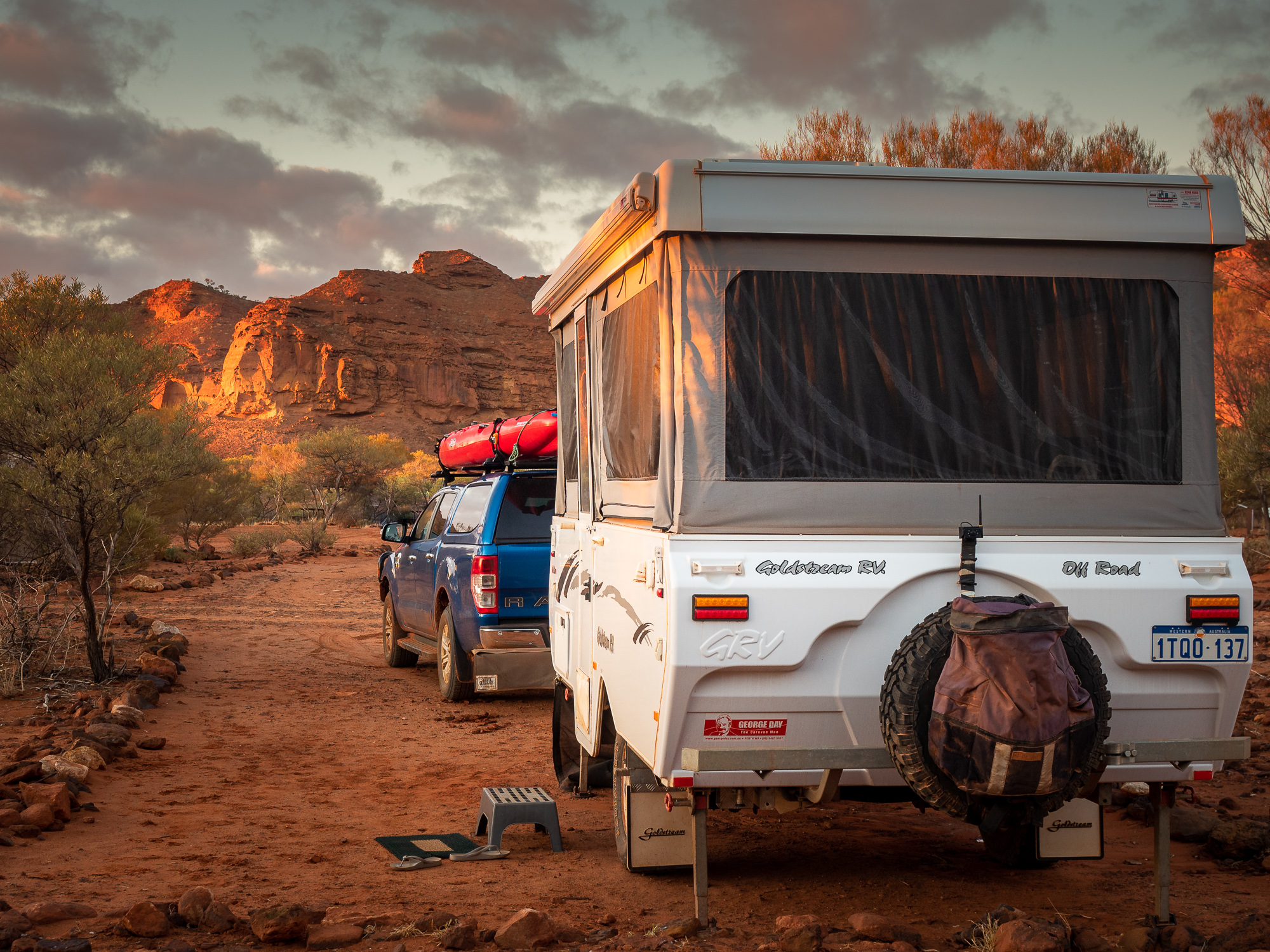
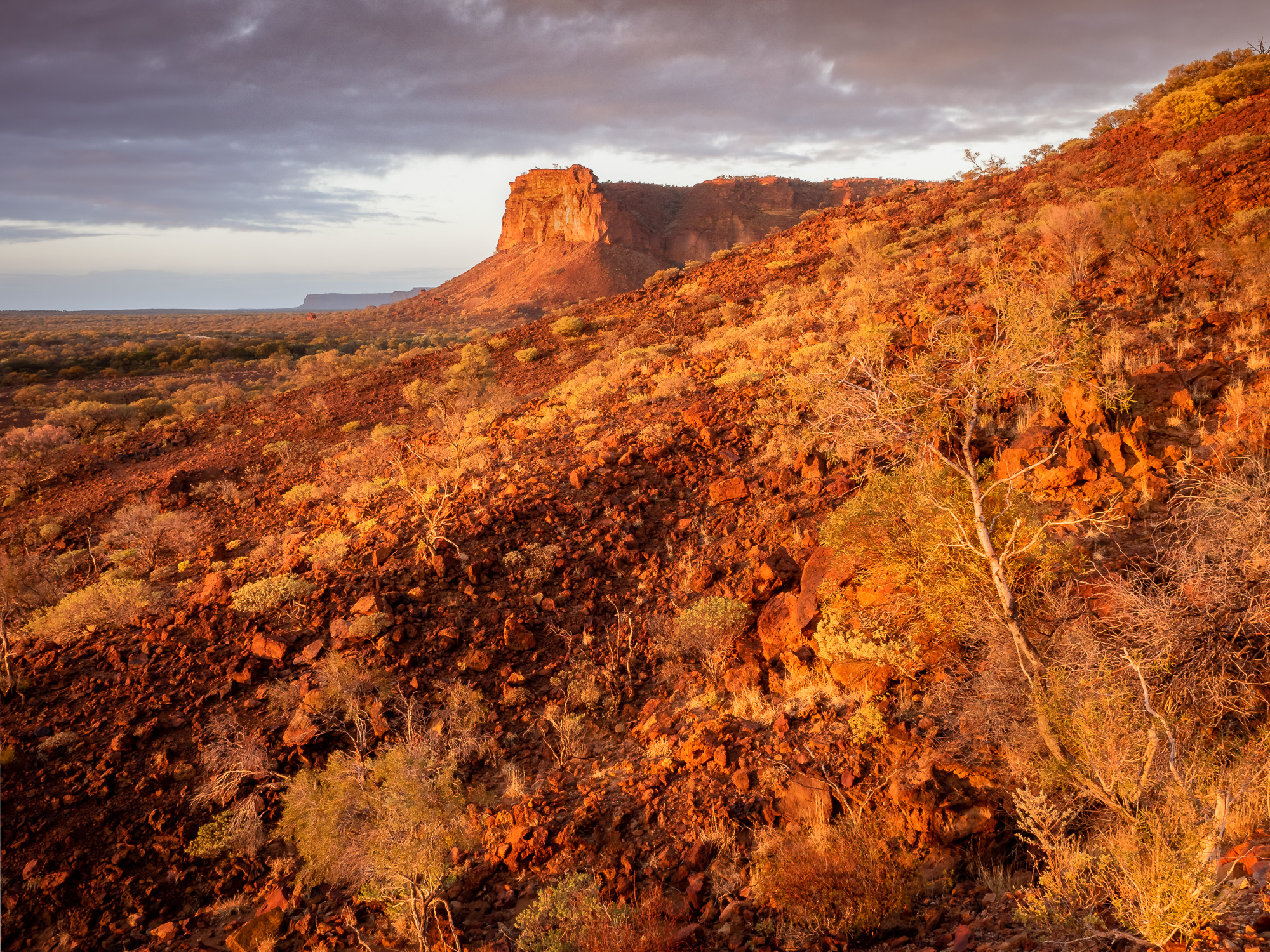
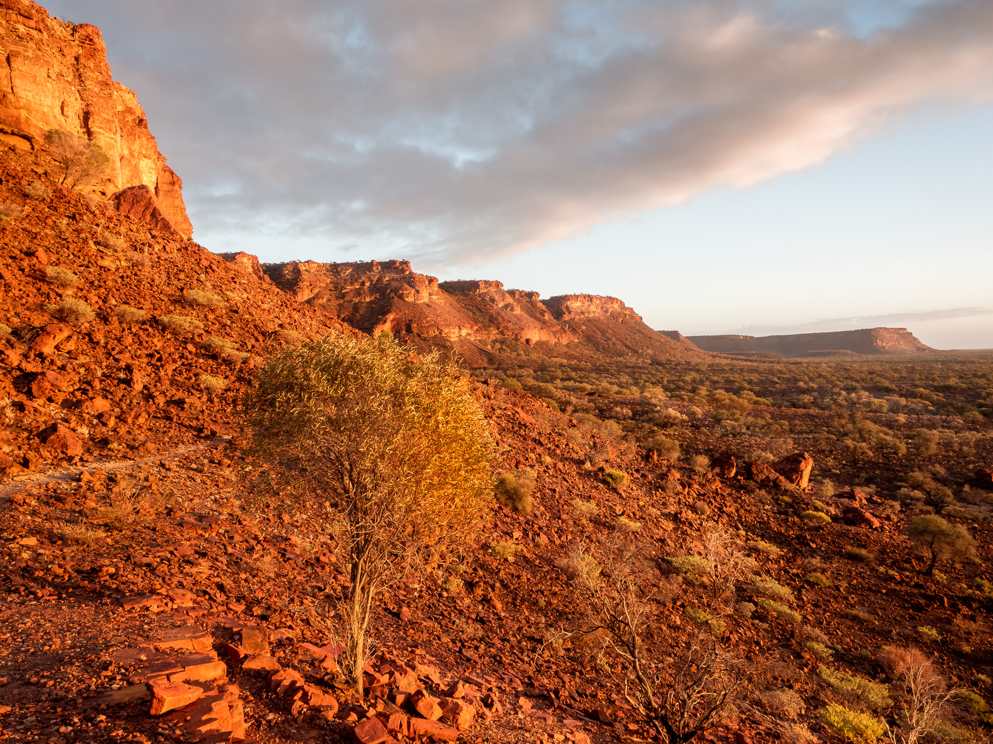
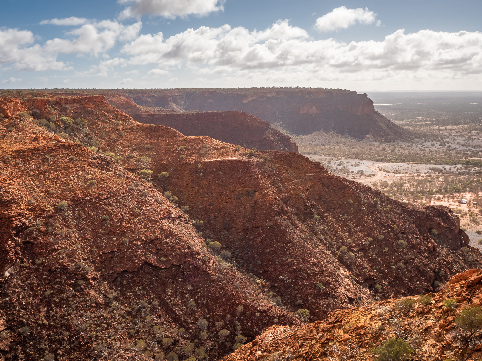
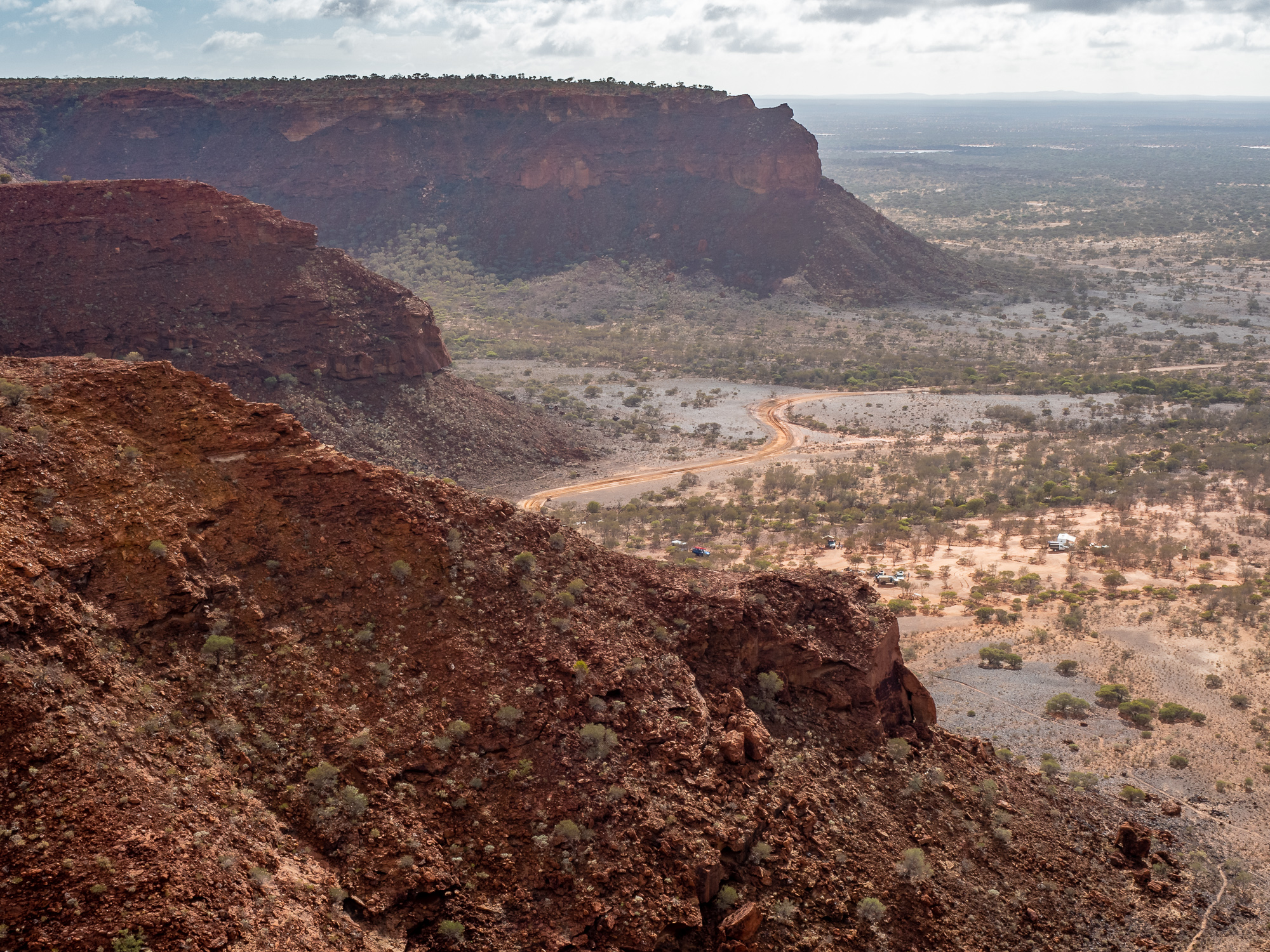
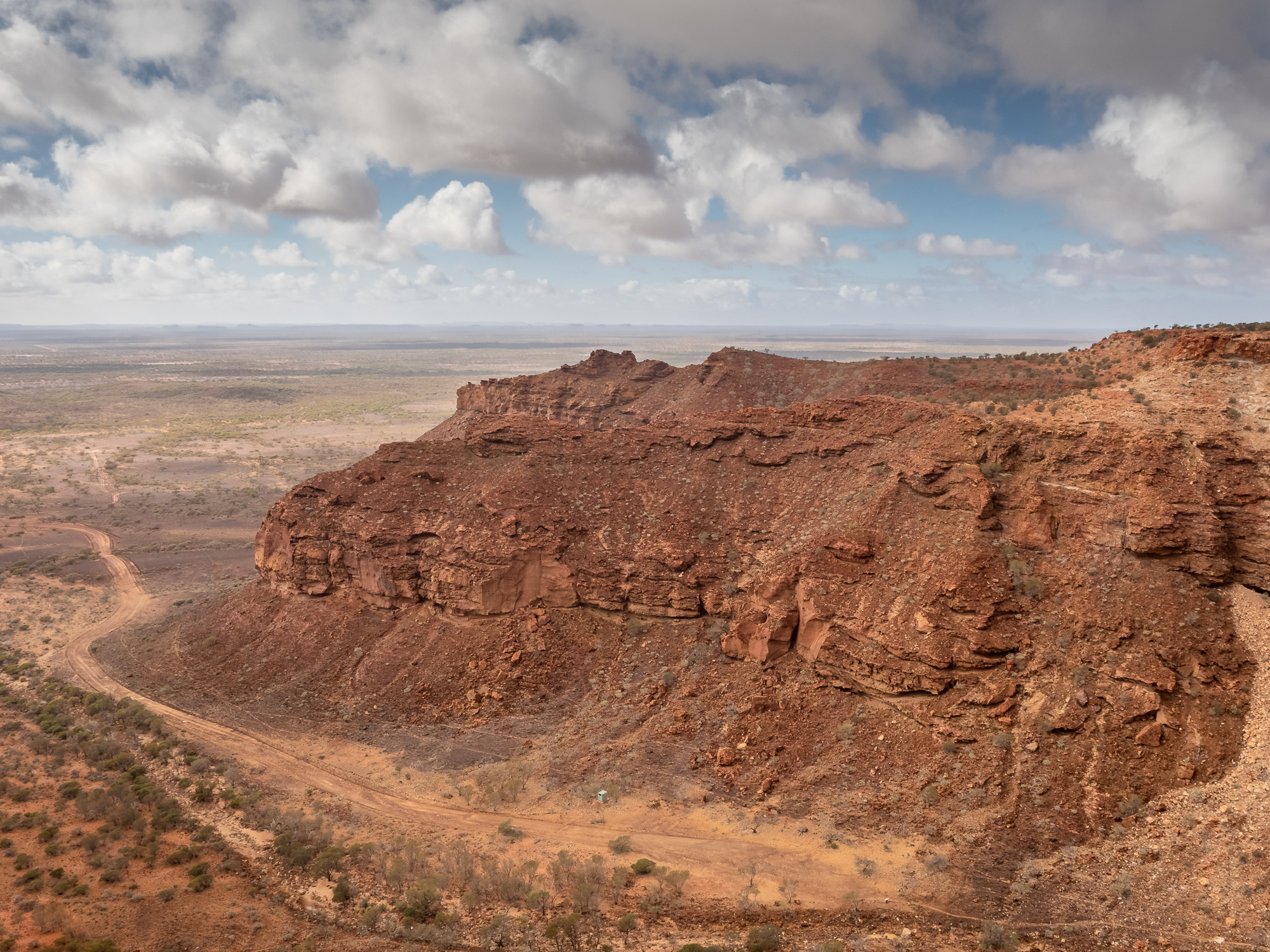
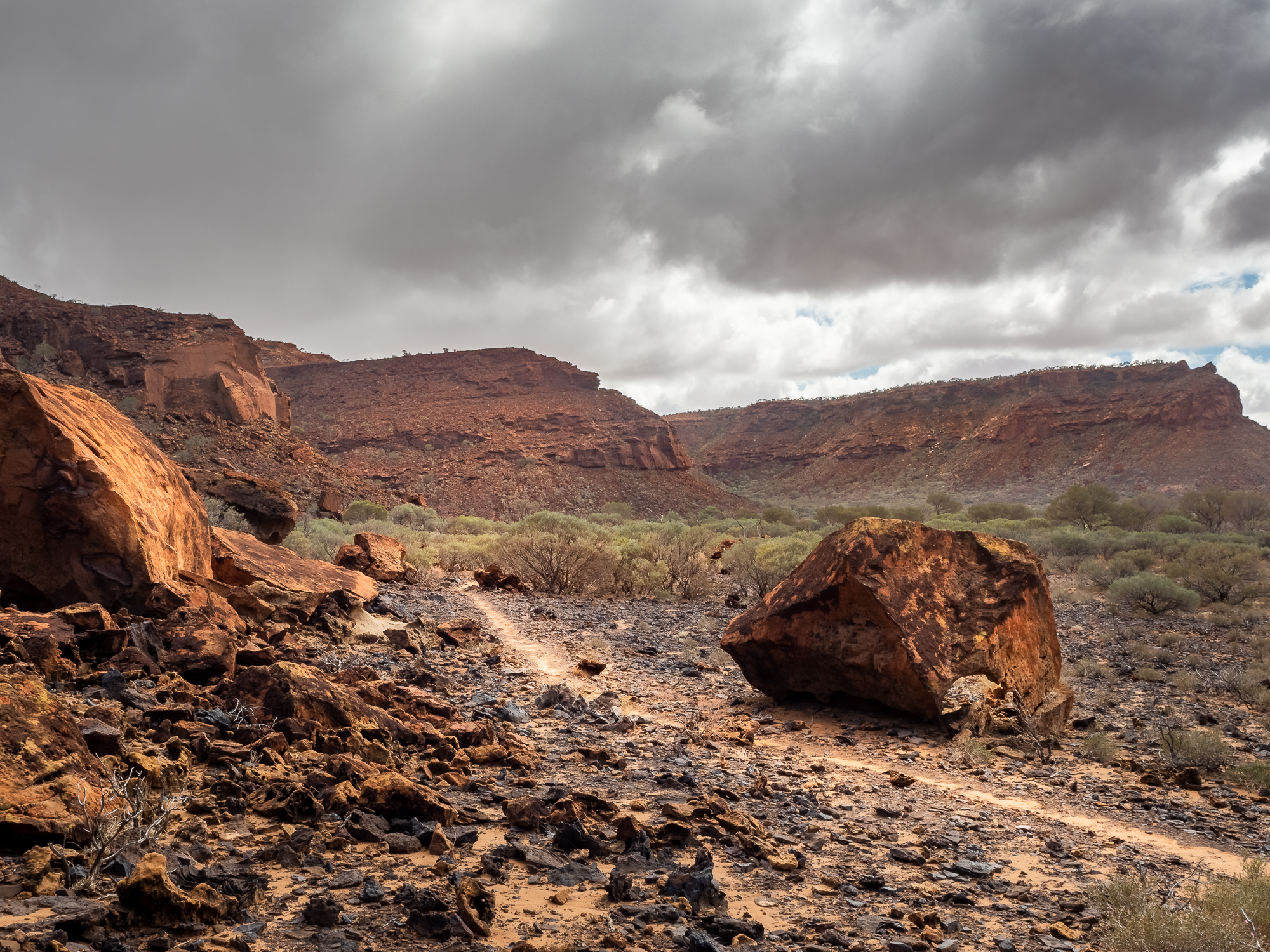
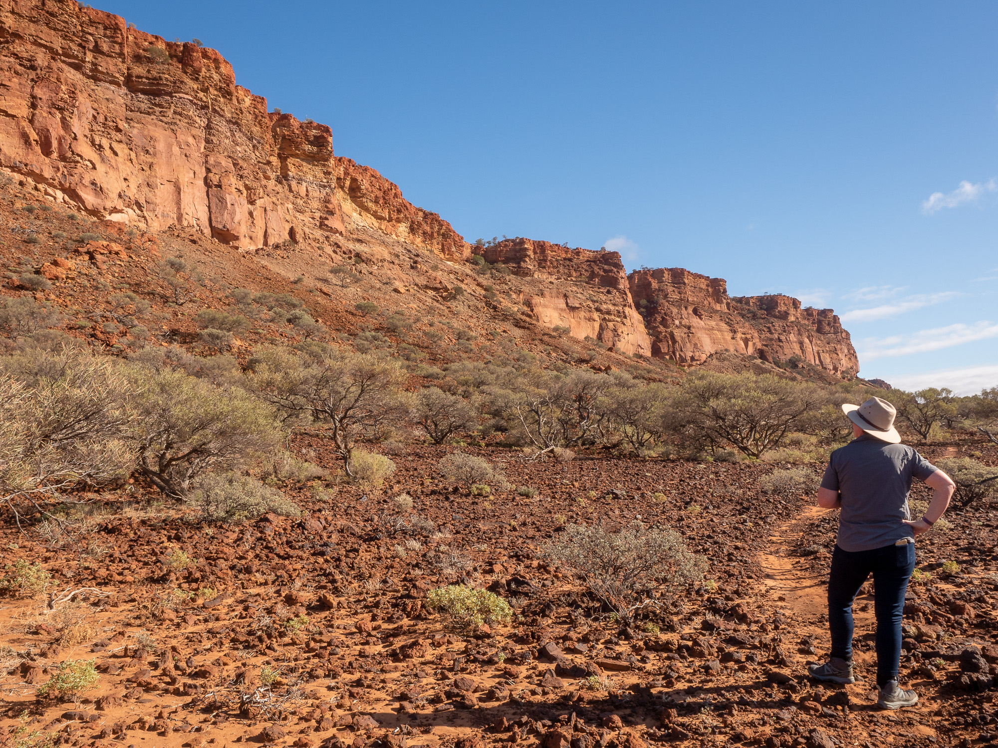
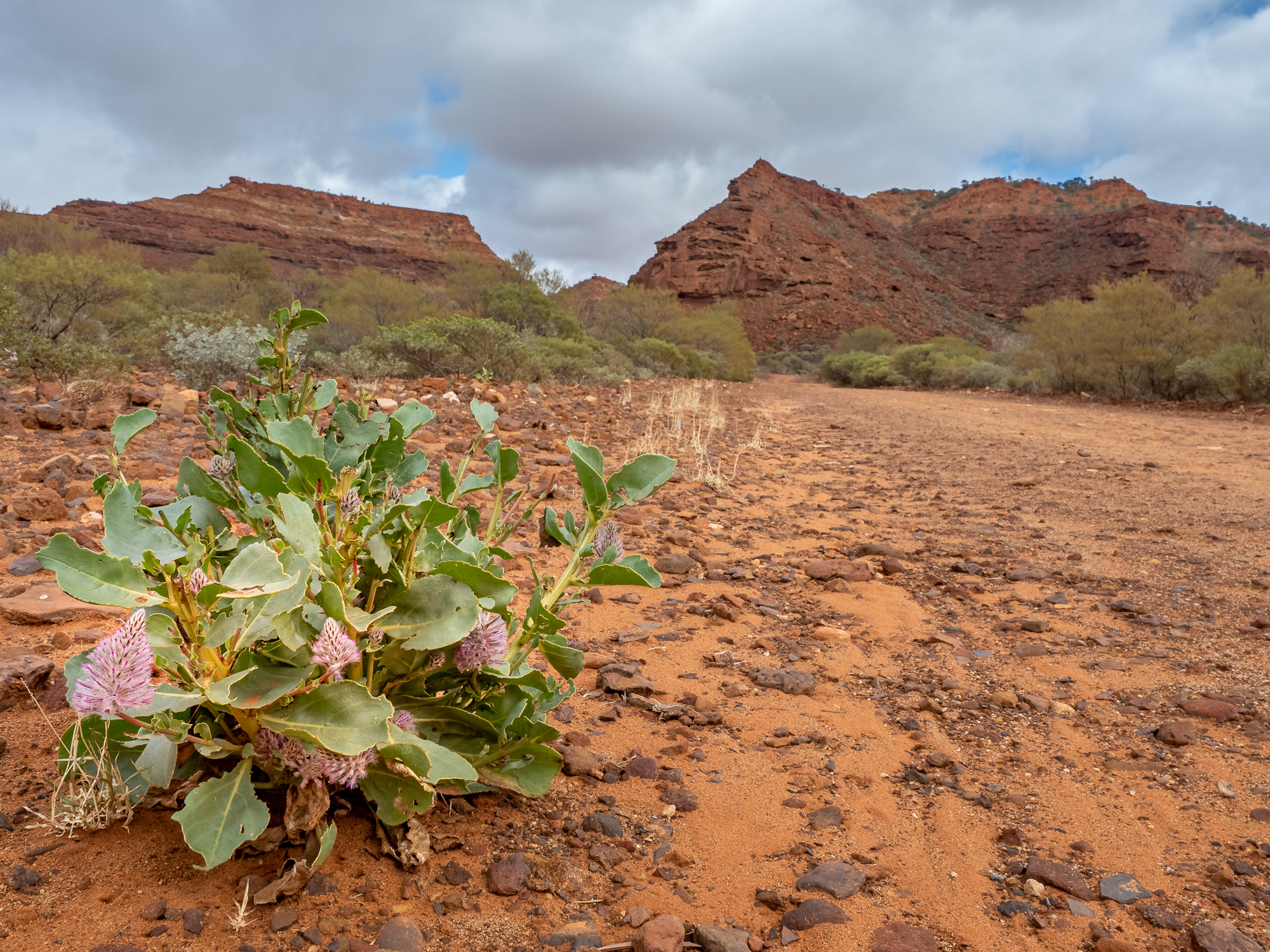
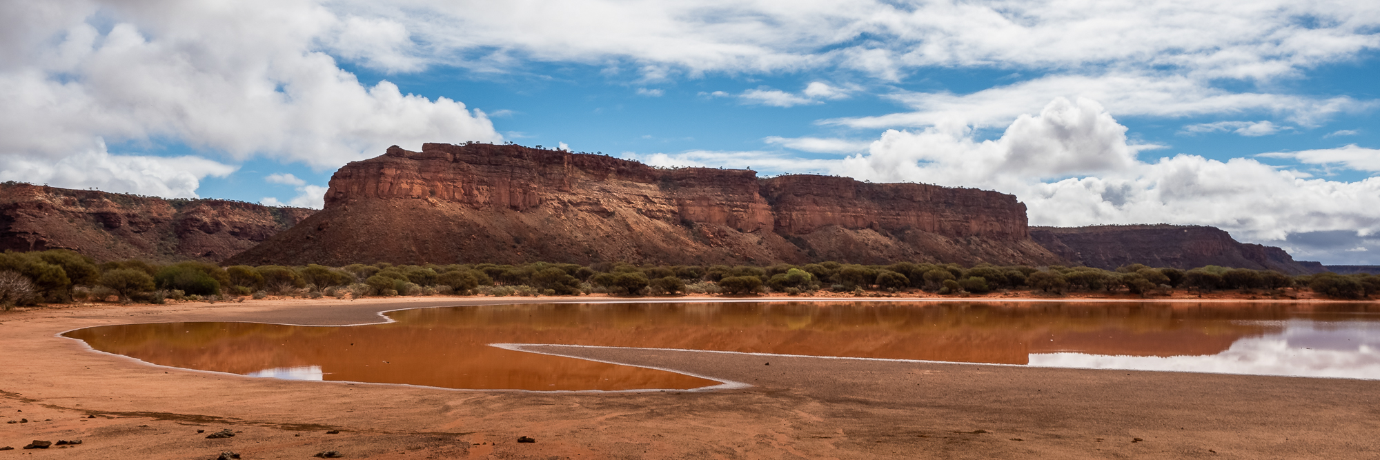
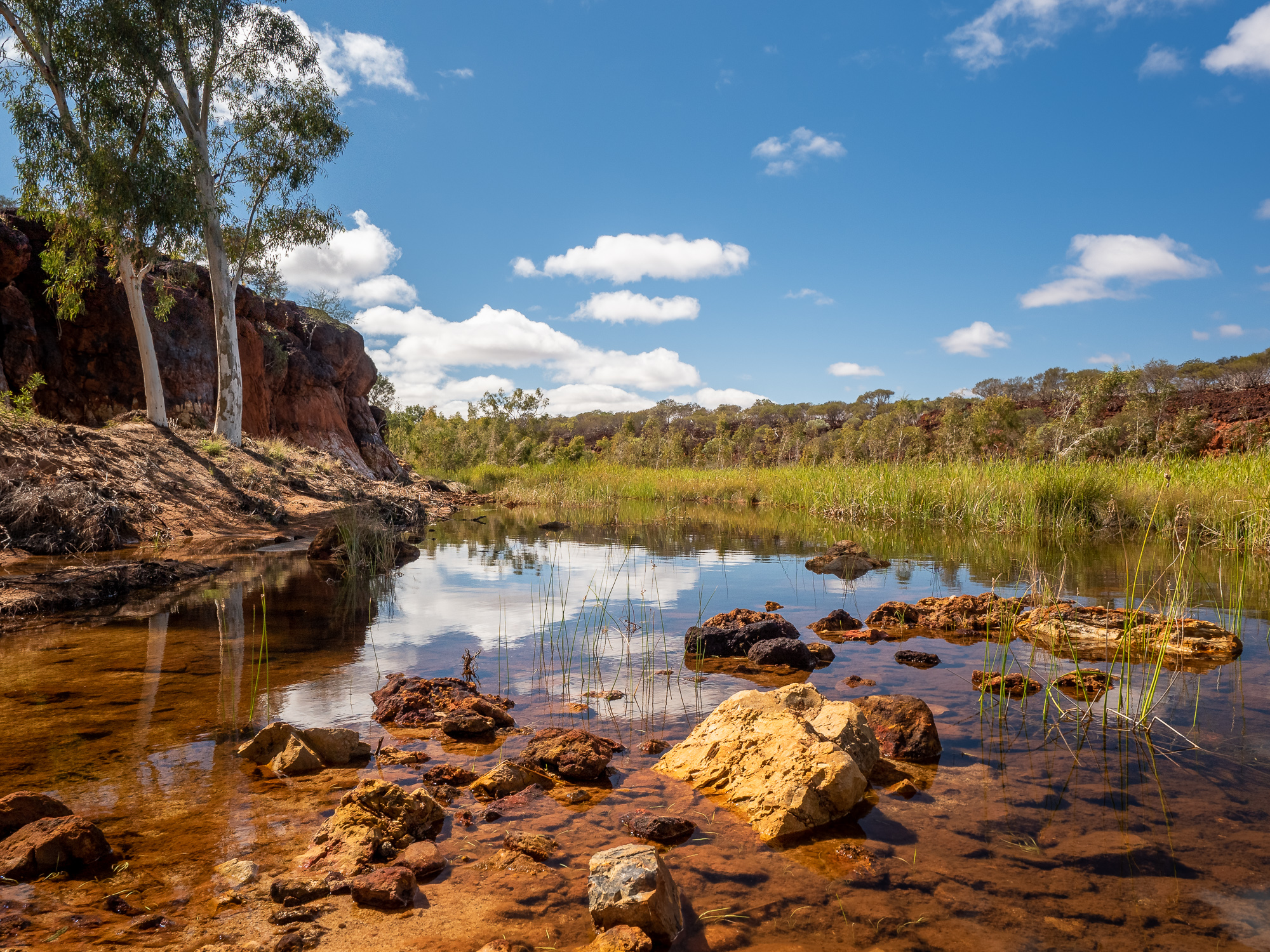
Despite being over 100m high in places, it wasn’t until we were within 2kms that we could actually see the Kennedy Ranges. The bold and sheer faces of the eroded plateau slowly appearing through the orange, dust filled air as we pulled into the Temple Gorge Campground. Luckily the range also blocked out most of the strong northerly winds and, in comparison to road in, it was relatively calm at the campground. Checking in with the friendly camp hosts, we picked our site, set up the van and grabbed some lunch just as the rain started to fall. Good call, we agreed, on making the run from Mt Augustus early, as the road would be a quagmire of slippy, dangerous mud if this rain had continued east.
During one of the heavier downpours, I (Tony) even managed to get out and have a fresh, rain water shower and now feel lovely sparkly and clean as I sit snugly inside the van with a cup of tea, preparing this blog post. Tomorrow hiking the trails of the Kennedy Ranges and sightseeing. Who’s excited? We are!
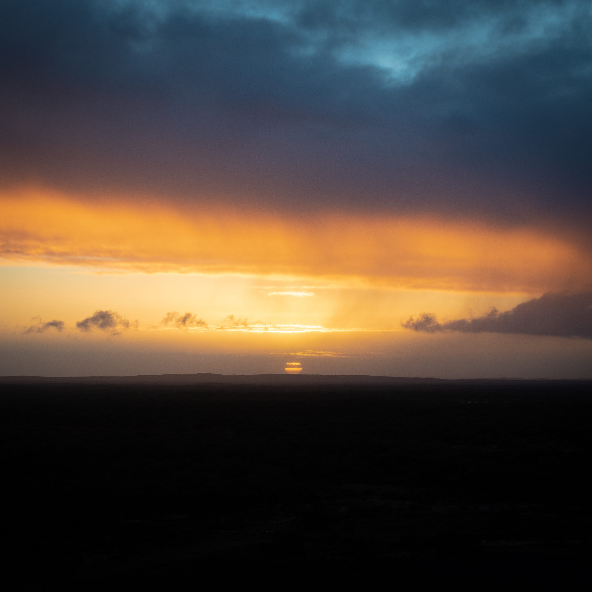
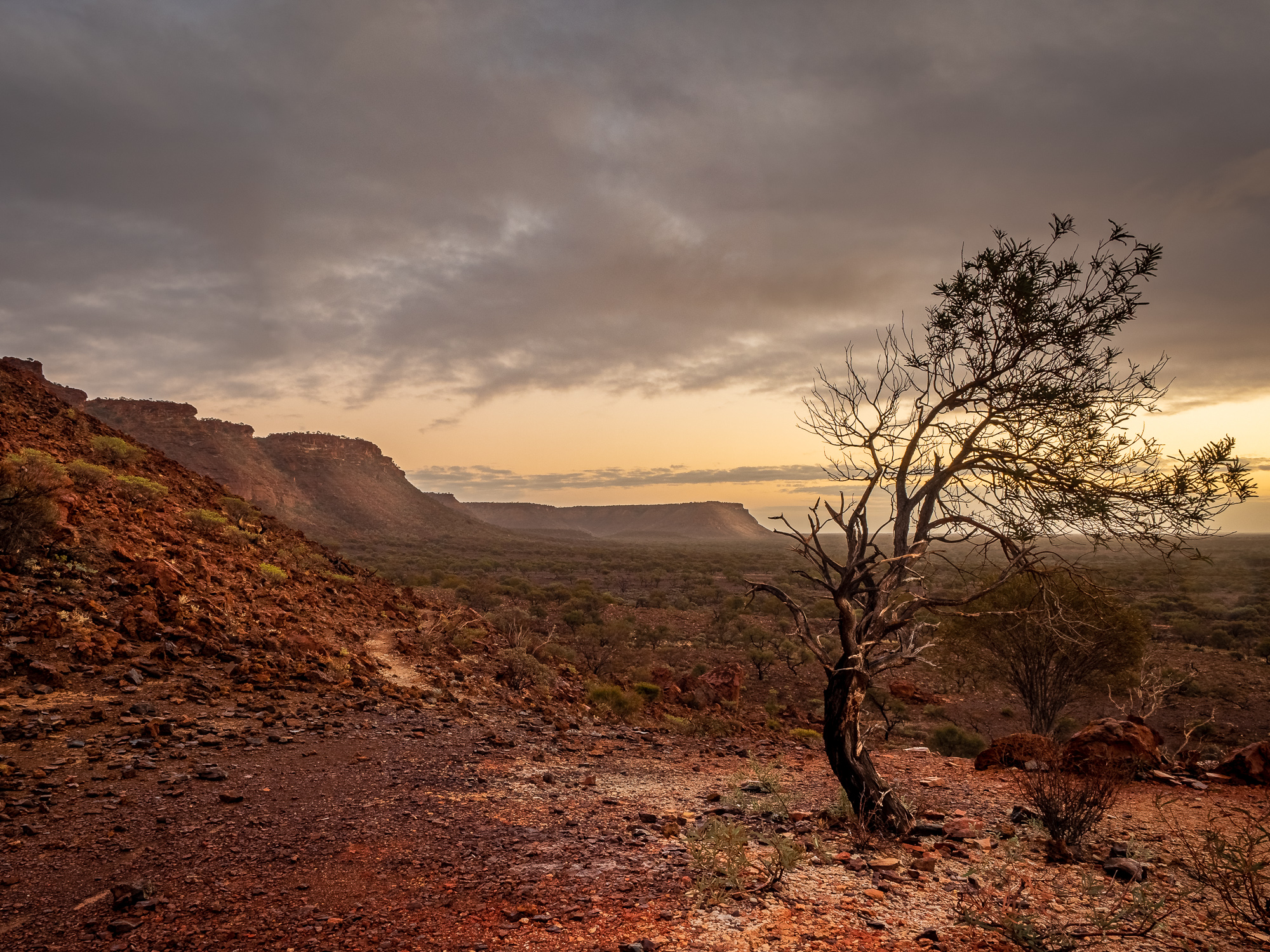
The annoying beeping of an alarm clock wakes us at 6am. Whilst it was set intentionally, we’re somewhat regretting last night’s decision to ‘check out the sunrise from the viewing area’ as we’re all snuggled up in bed. However, with some groaning we get ourselves organised and trundle off in the dark, about 3kms down the now muddy track to the viewing area. Light drizzle continues to fall and once we find our way to the walking track up to the raised, natural viewing point, we can see the sky beginning to lighten over the plains to the East, with the passing rain showers coloured in greys and oranges drifting over the range to our West. Despite there being a fair bit of cloud in the sky, the sun rises like it does in the Lion King movie, a great big ball of yellow golden warmth, and as it’s behind cloud on the horizon we can clearly make out its shape as it rises without burning our retinas out.
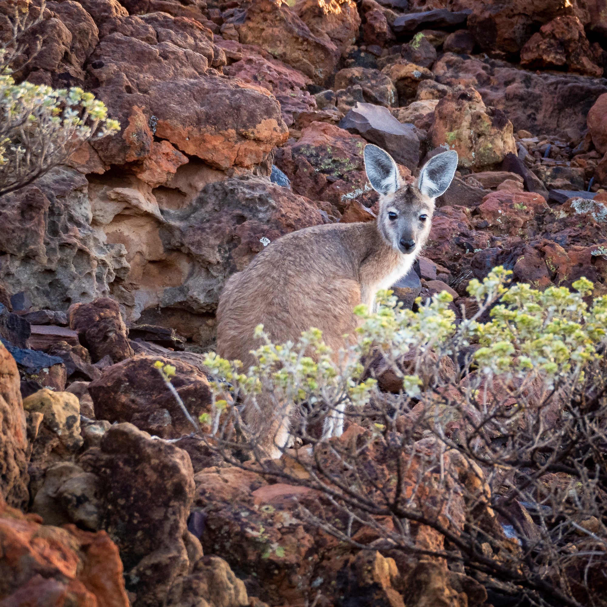
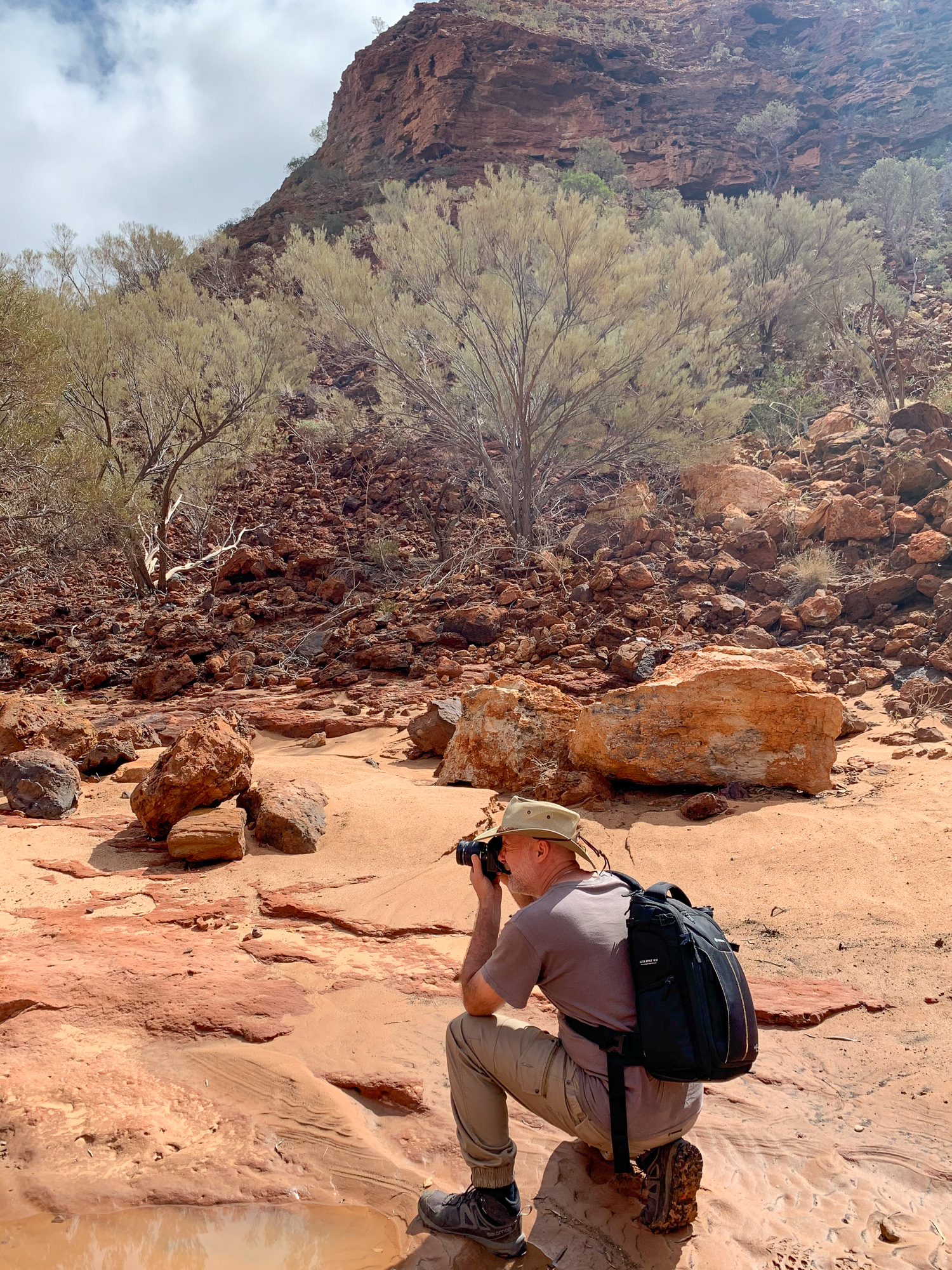
The cloud did make shooting the range in the rising sunlight somewhat difficult as one minute there was beautiful soft light filled with oranges and yellow, the next moment the light was gloomy and low contrast as the sun moved behind clouds. Despite this, we still managed to get some good shots and enjoyed the solitude of sharing the sunrise with a family of noisy Peregrines as they flew into their nest perched atop the plateau.
Following our morning sortie, we rewarded ourselves for the early start with poached eggs on sourdough bread and hot coffee straight from the plunger. No need to live it rough when camping with the Budgies!
As Jules is still recovering from her groin strain, she decided to have a casual day in the van, letting things rest and recover, whilst I tackled the two more difficult and longer class 4 trails; the Escarpment Trail and, also, up through the Drapers Gorge trail.
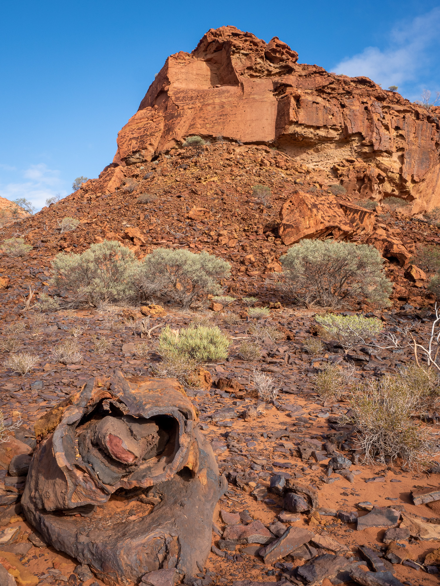
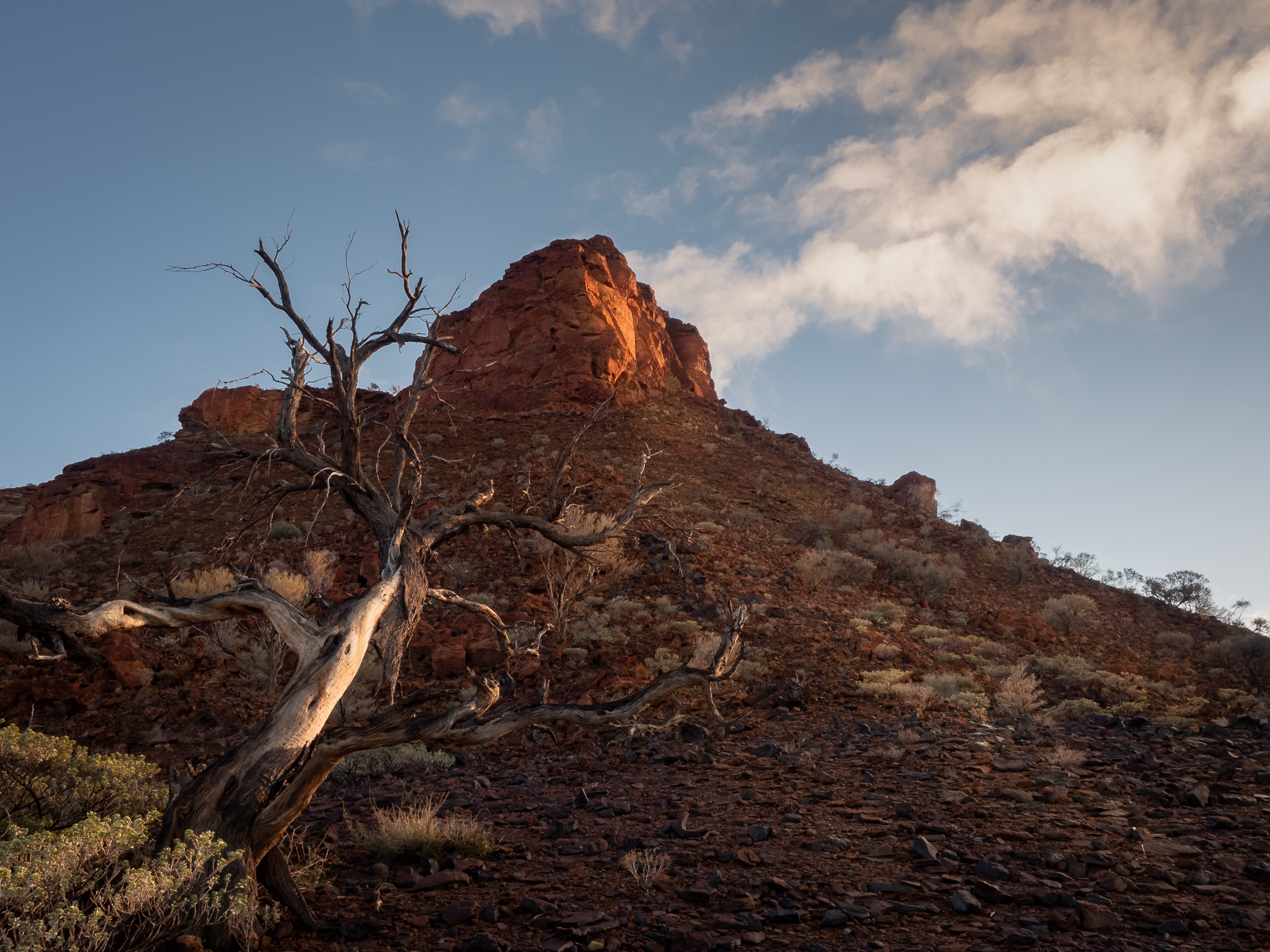
The Escarpment Trail is 3.4km and takes you gently up the 100m climb, via a creek at the bottom of a gorge. Once on top it’s amazing how flat and relatively barren the plateau is, but you can look out East, over the campsite and plains. Looking West you can make out the beginnings of a series of rolling sand dunes that travel in a North/South direction towards the coast.
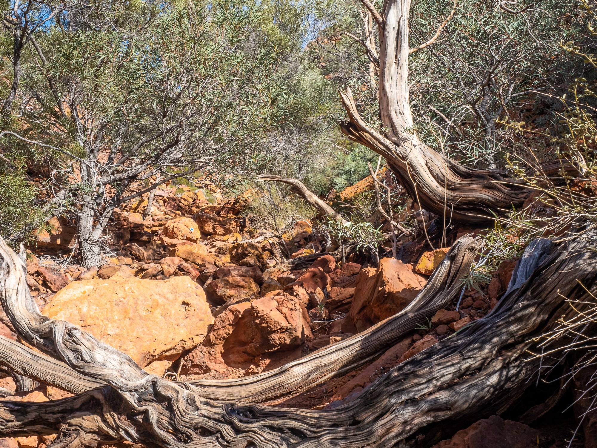
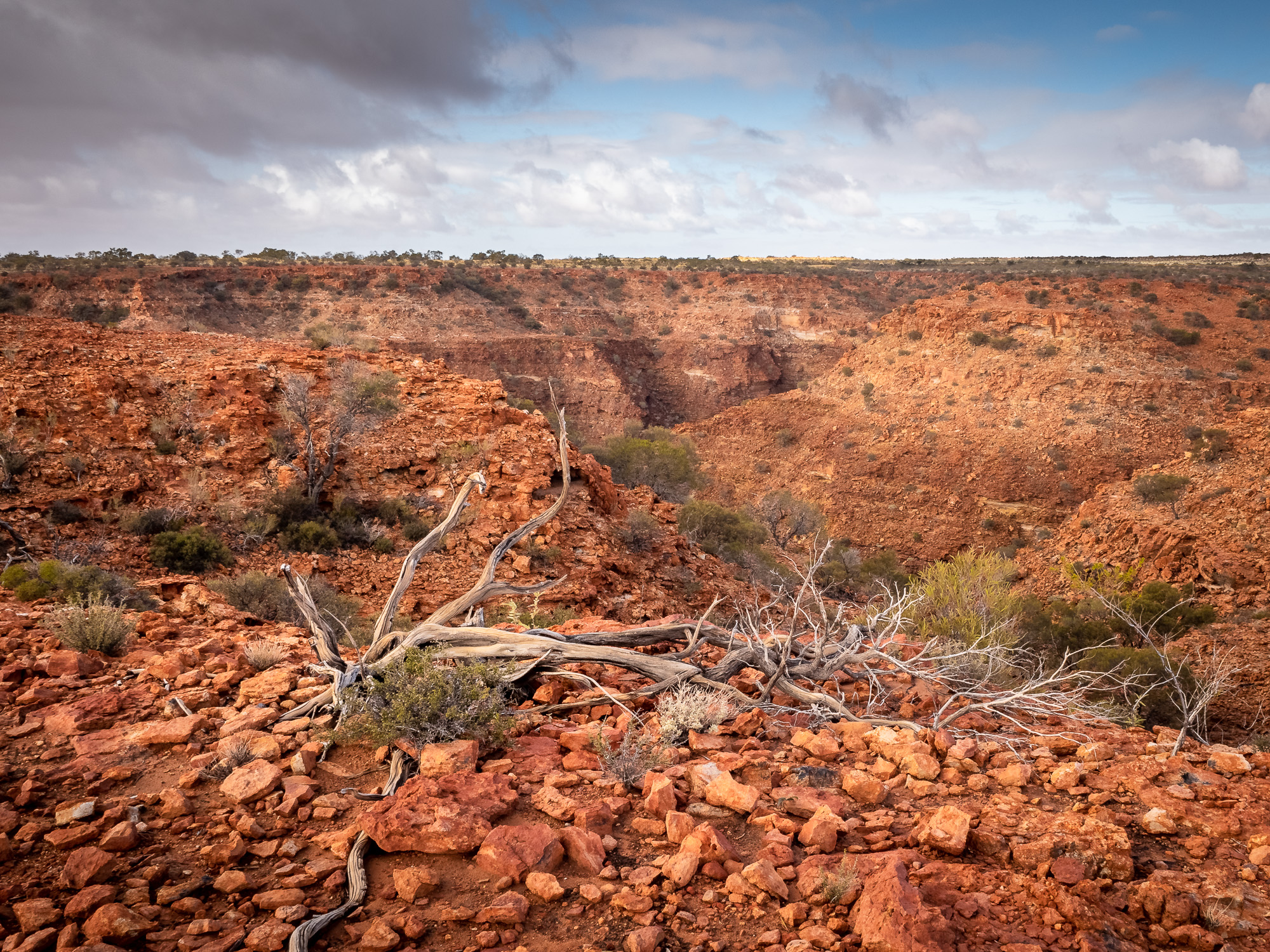
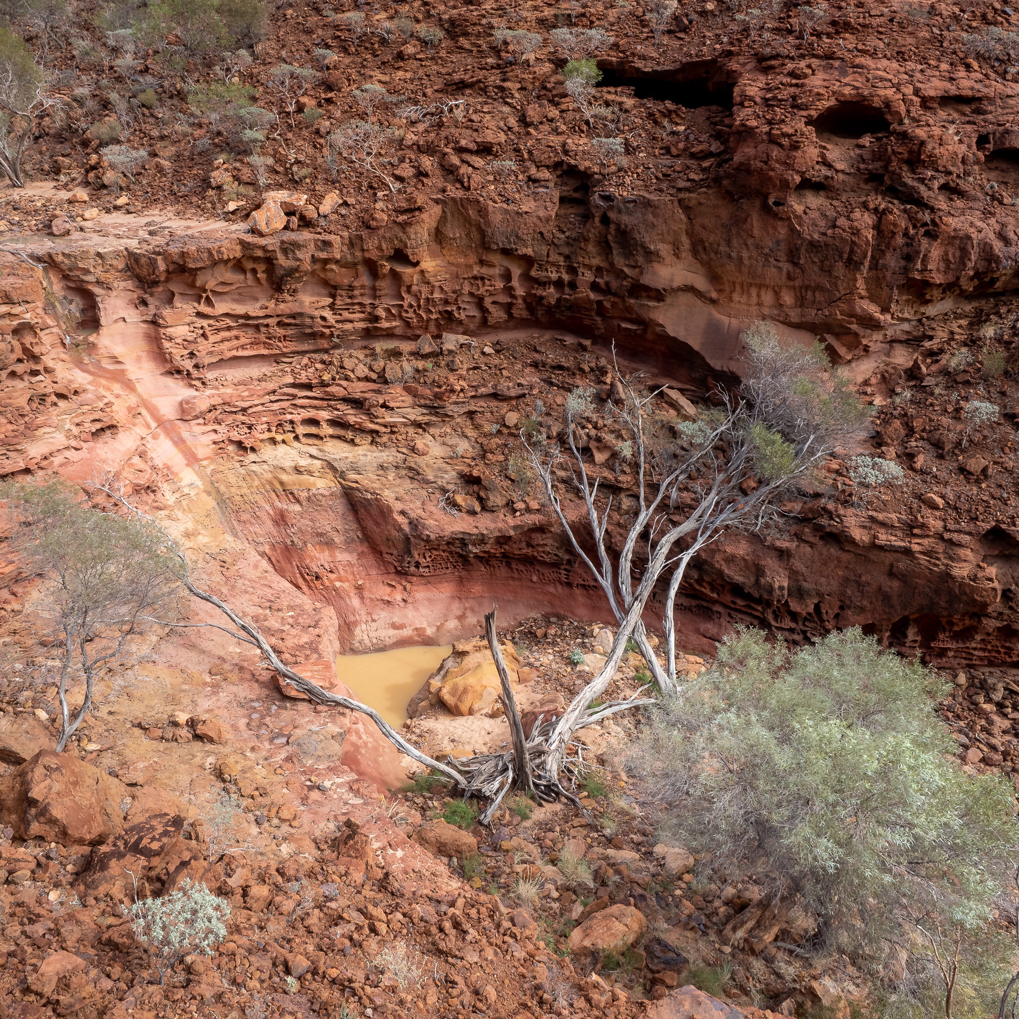
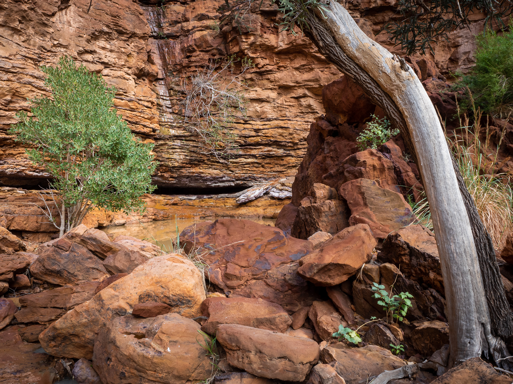
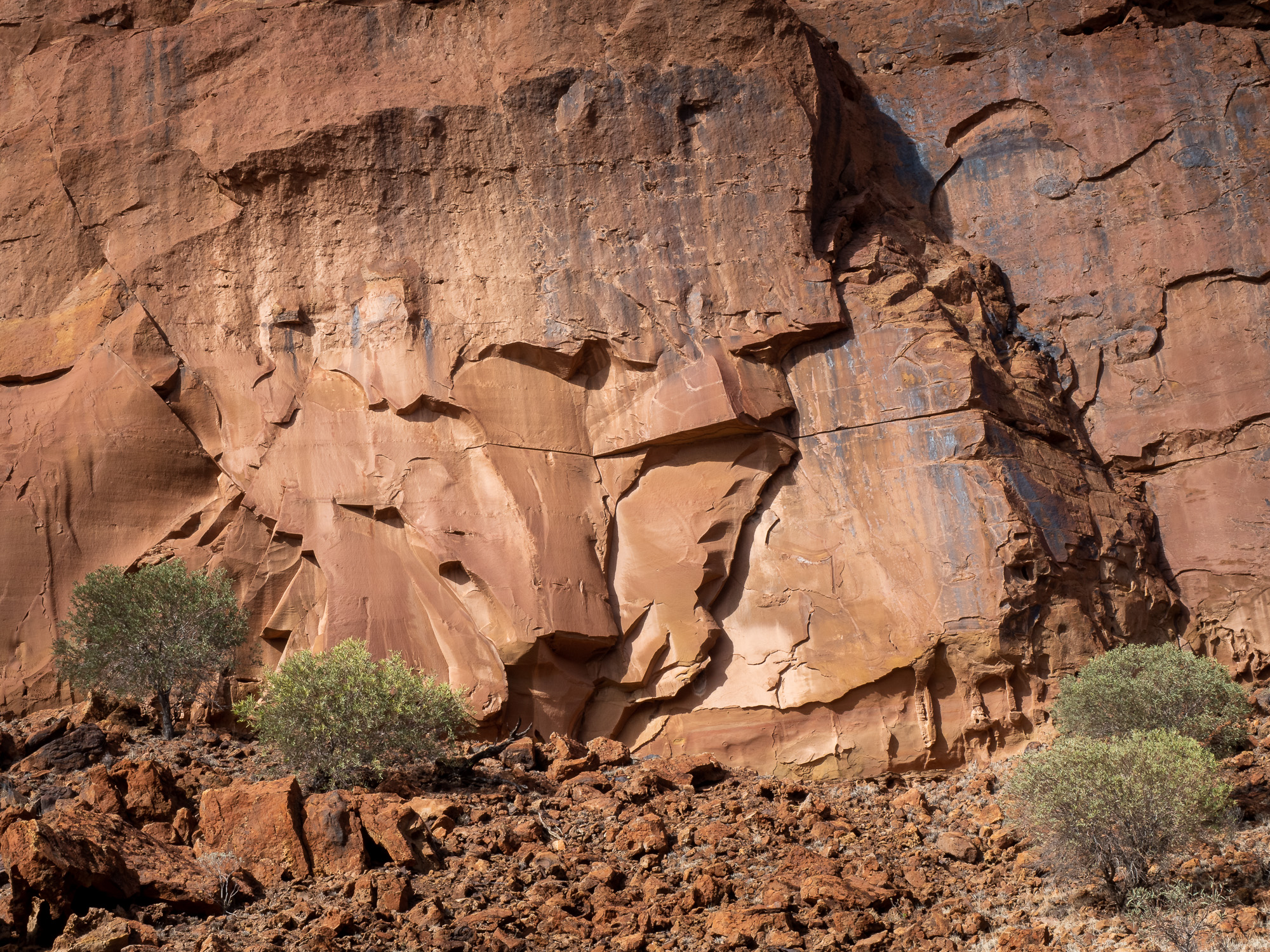
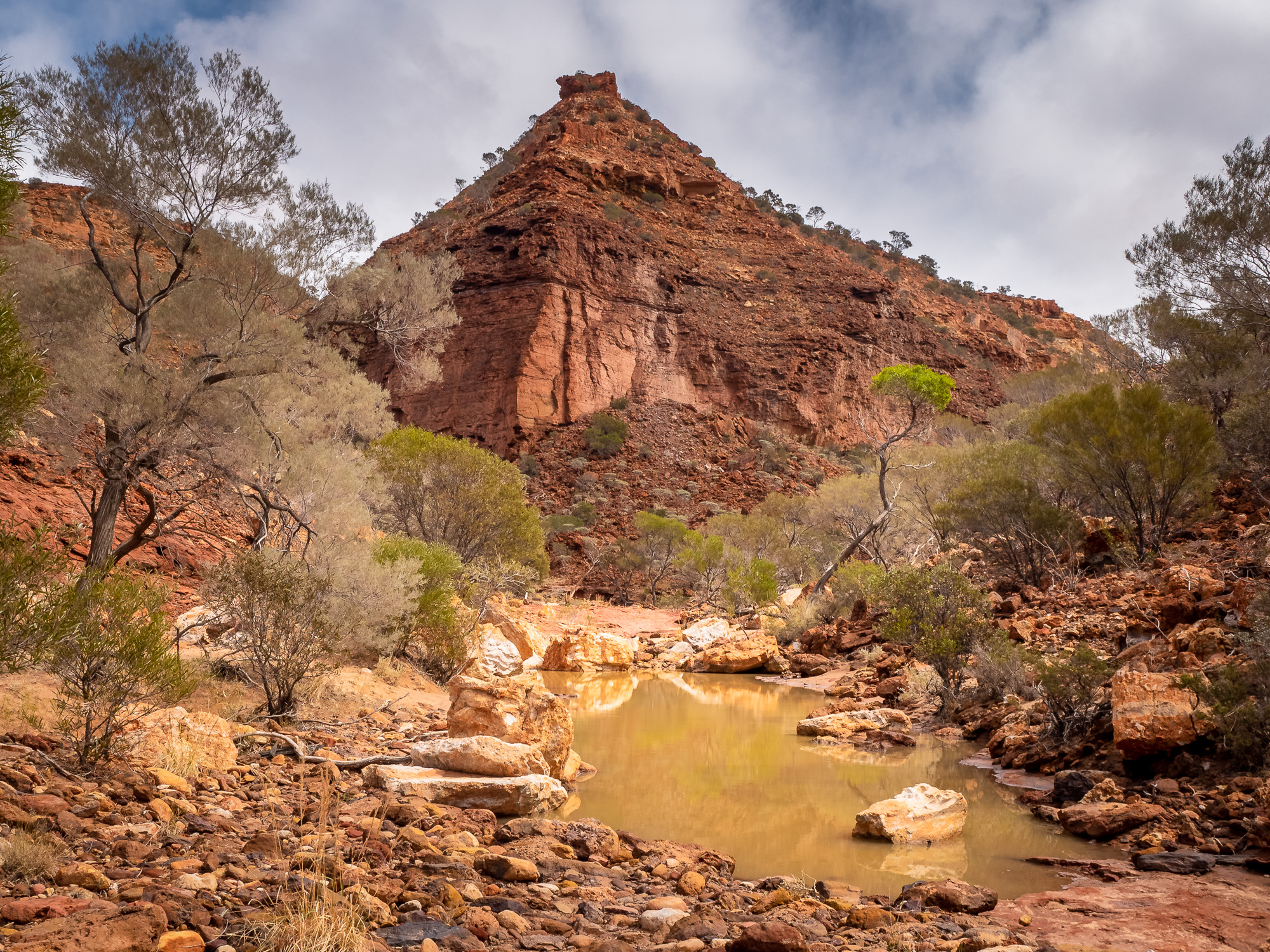
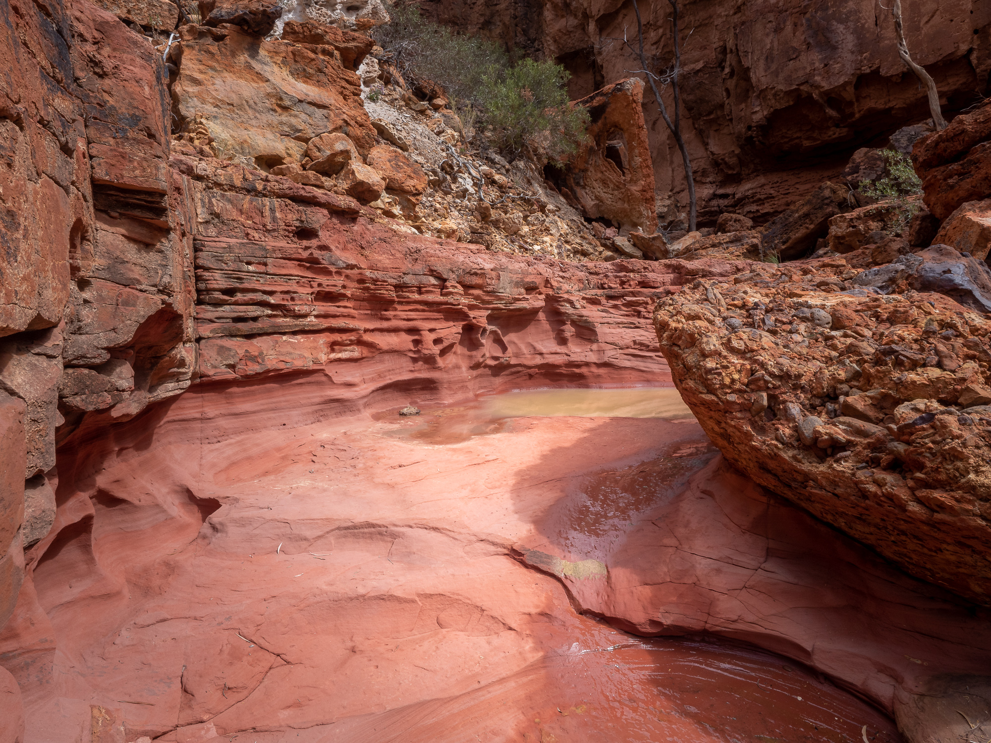
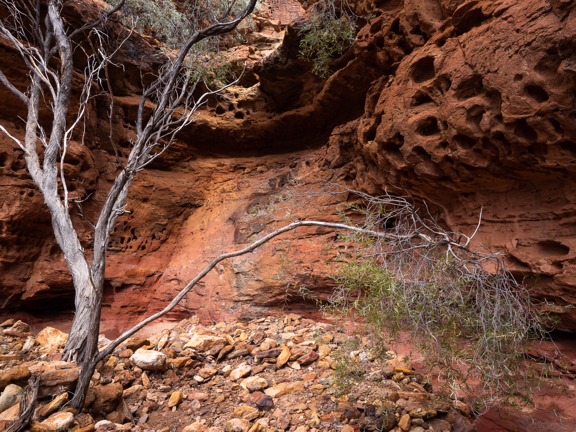
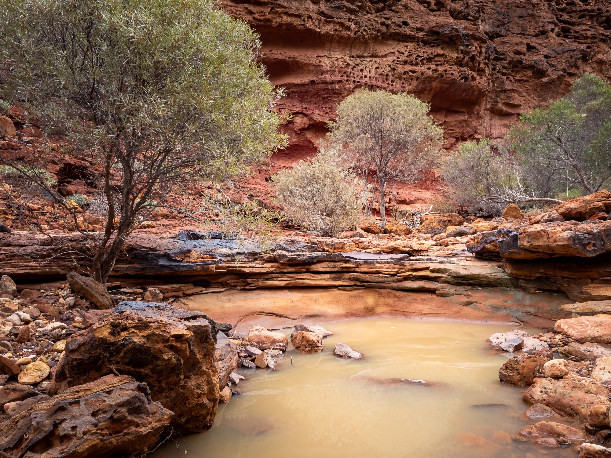
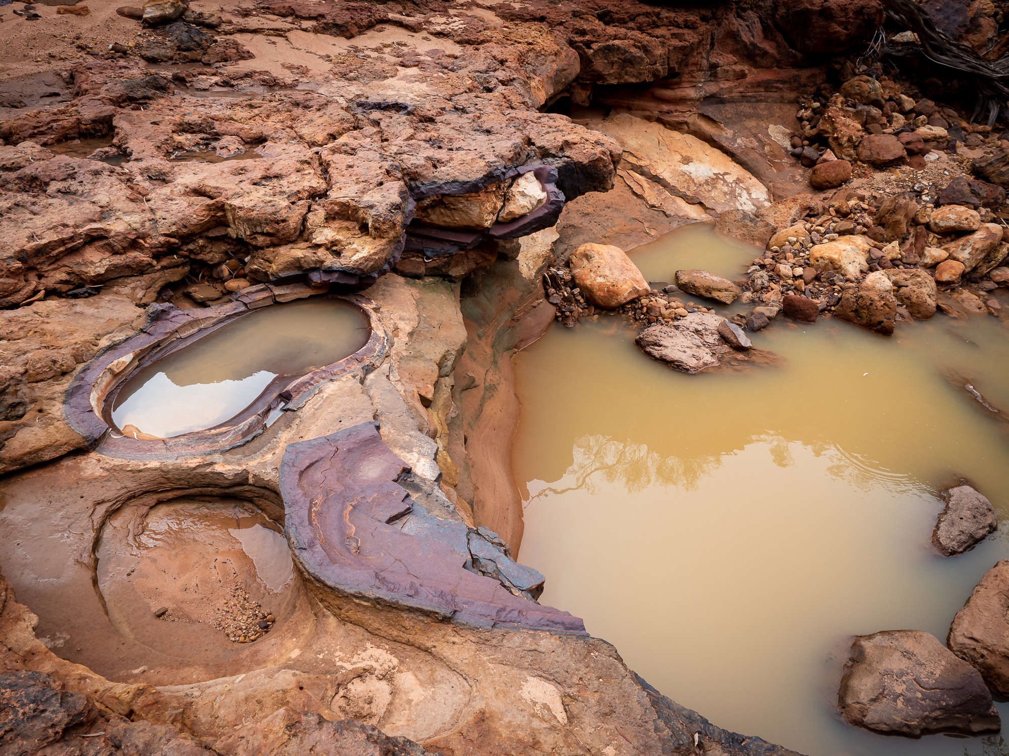
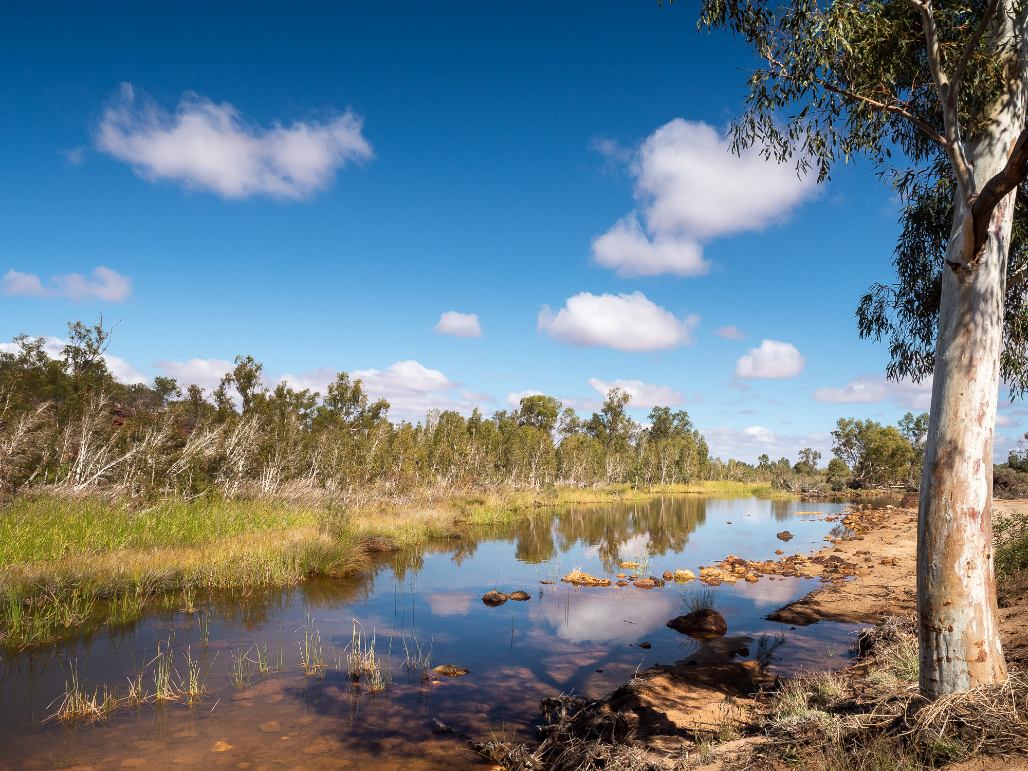
From the Escarpment Trail, it’s a quick hike over to Drapers Gorge, where again, you follow the gorge up towards the plateau. However, you can’t reach the top as there’s a long sheer rock face and a seasonal waterfall at the end of the trail. With the rain we’d had overnight, all the rock pools held water and there was a steady trickle of water coming over the various falls but nothing to get too excited about.
Day 2 at Kennedy Ranges and despite not setting an alarm for sunrise, I was awake at 5:30 and decided to go for a walk along the range to see what the morning might bring.
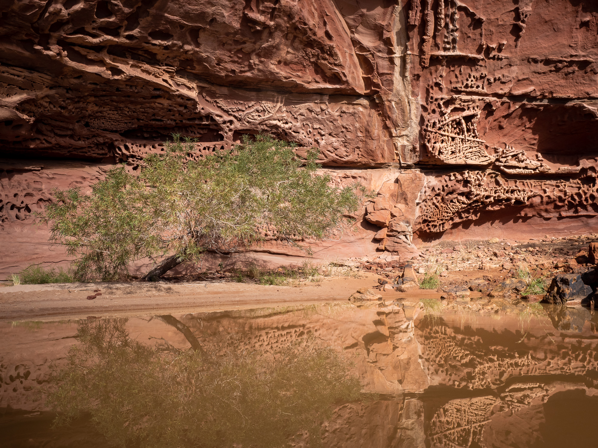
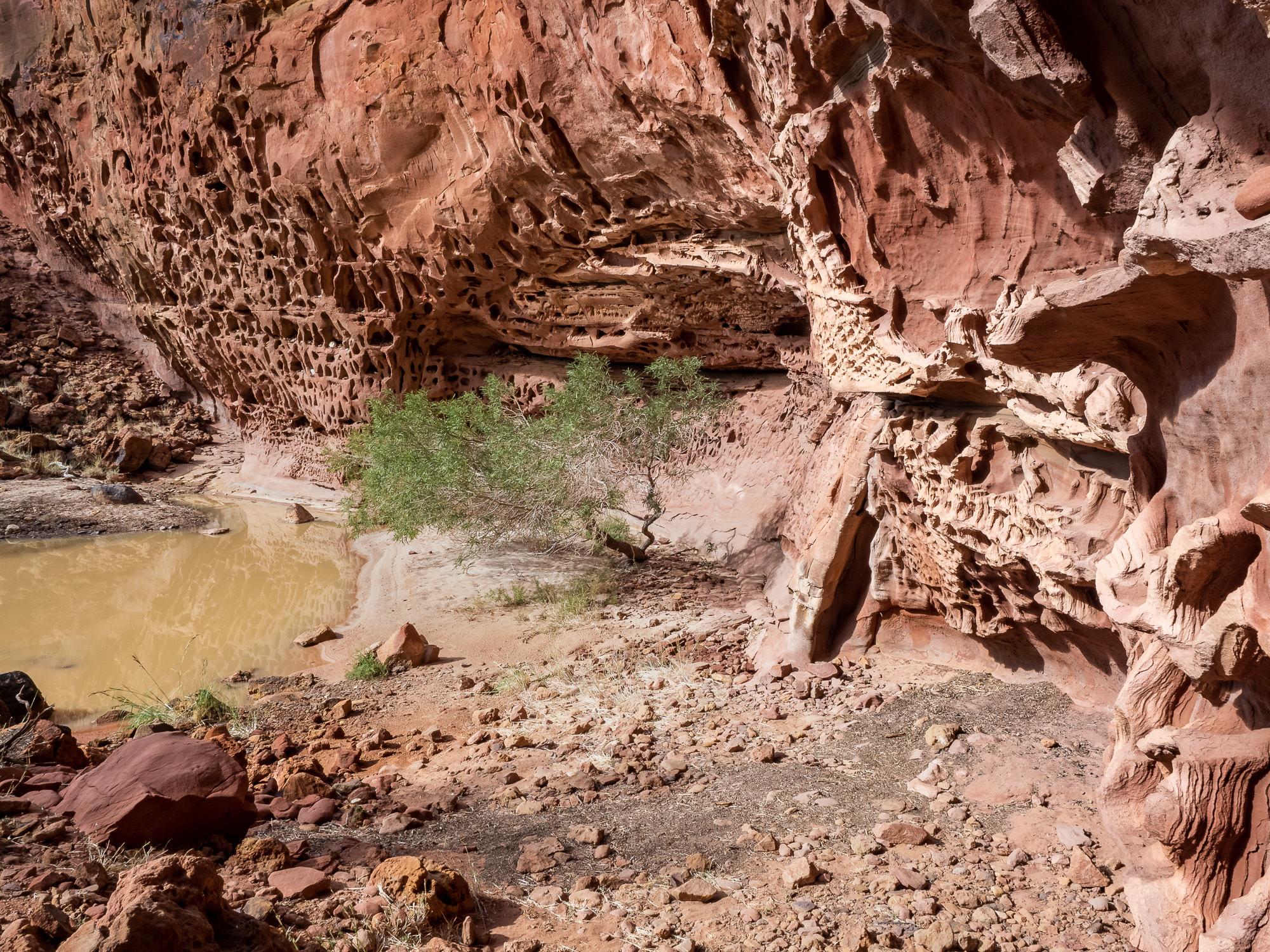
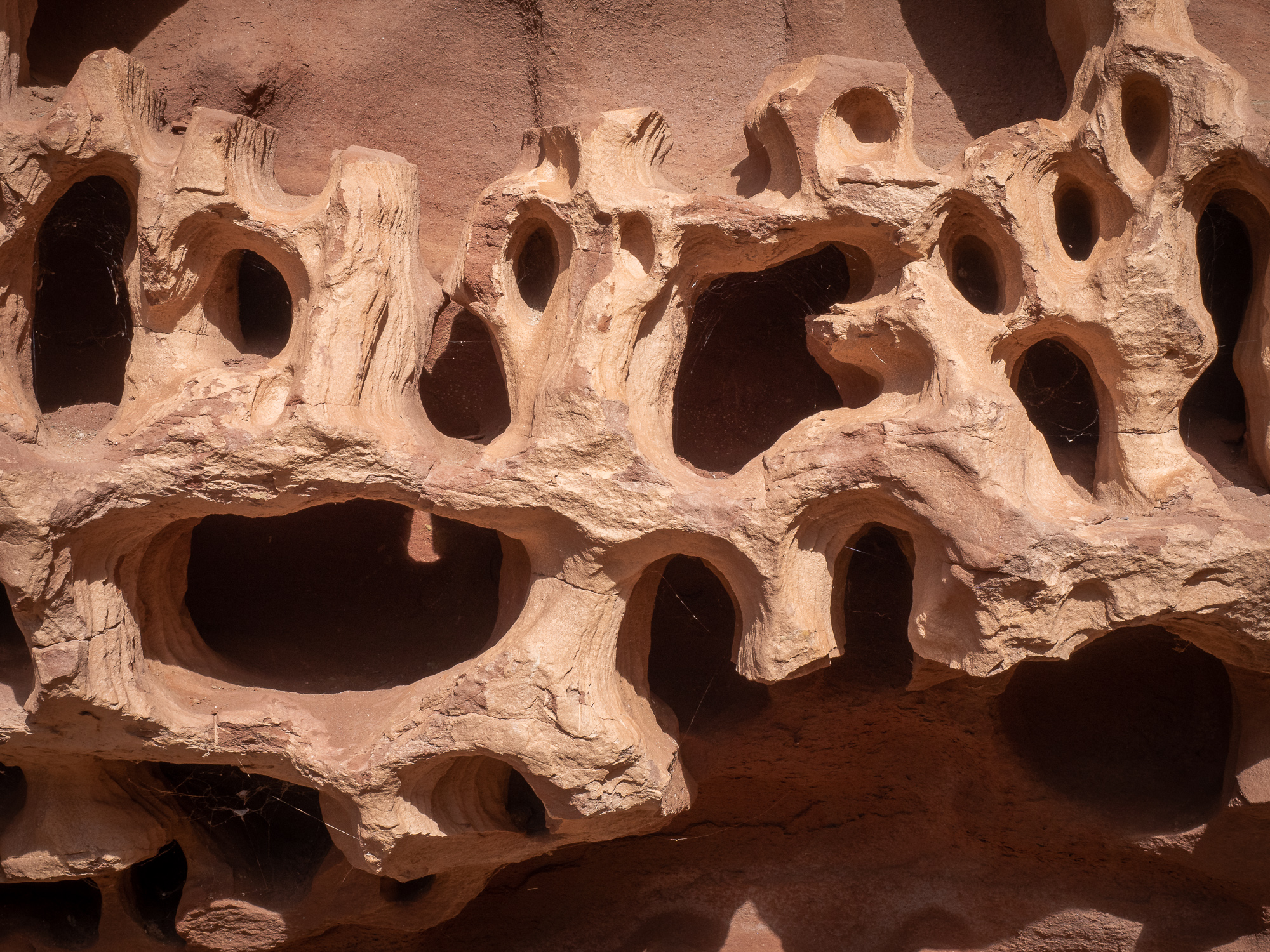
After brekky, Jules and I then completed the Escarpment Base Trail walk, up to and through Honeycomb Gorge which tends to be the general highlight around here. It’s a lovely and easy walk around the escarpment base, with plenty of stuff to observe and photograph. Honeycomb Gorge itself is great, however, wasn’t my favourite trail or location – but still definitely worth seeing if you’re in the area.
After a quick cup of coffee and morno’s, we then headed down Temple Gorge which abuts the campground. I think this was a nicer hike with more to see and admire. At the end of the main gorge, under the ‘temple’, you can continue left up the class 3 hike to a pool, or right up the class 4 hike to another pool. Jules and I did the left hike and she waited whilst I completed the other fork, due to her nagging groin injury.
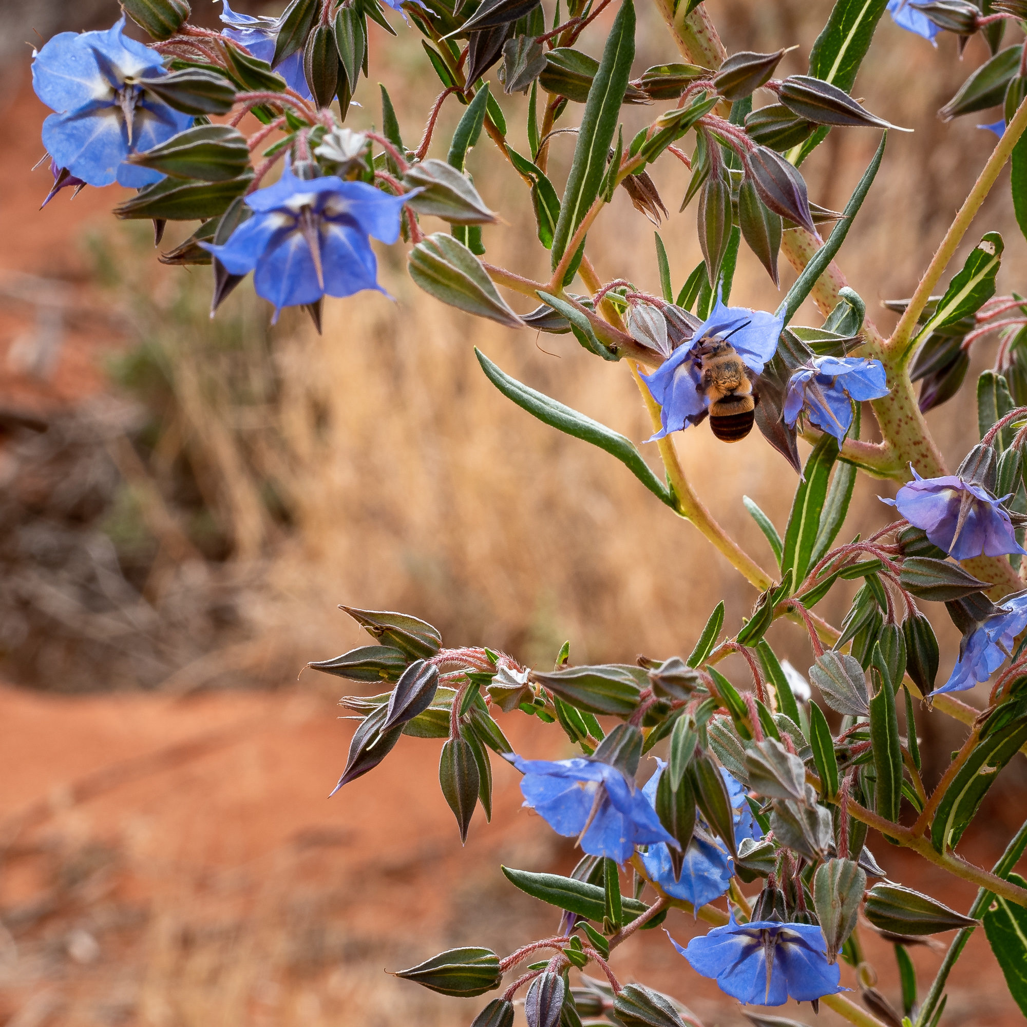
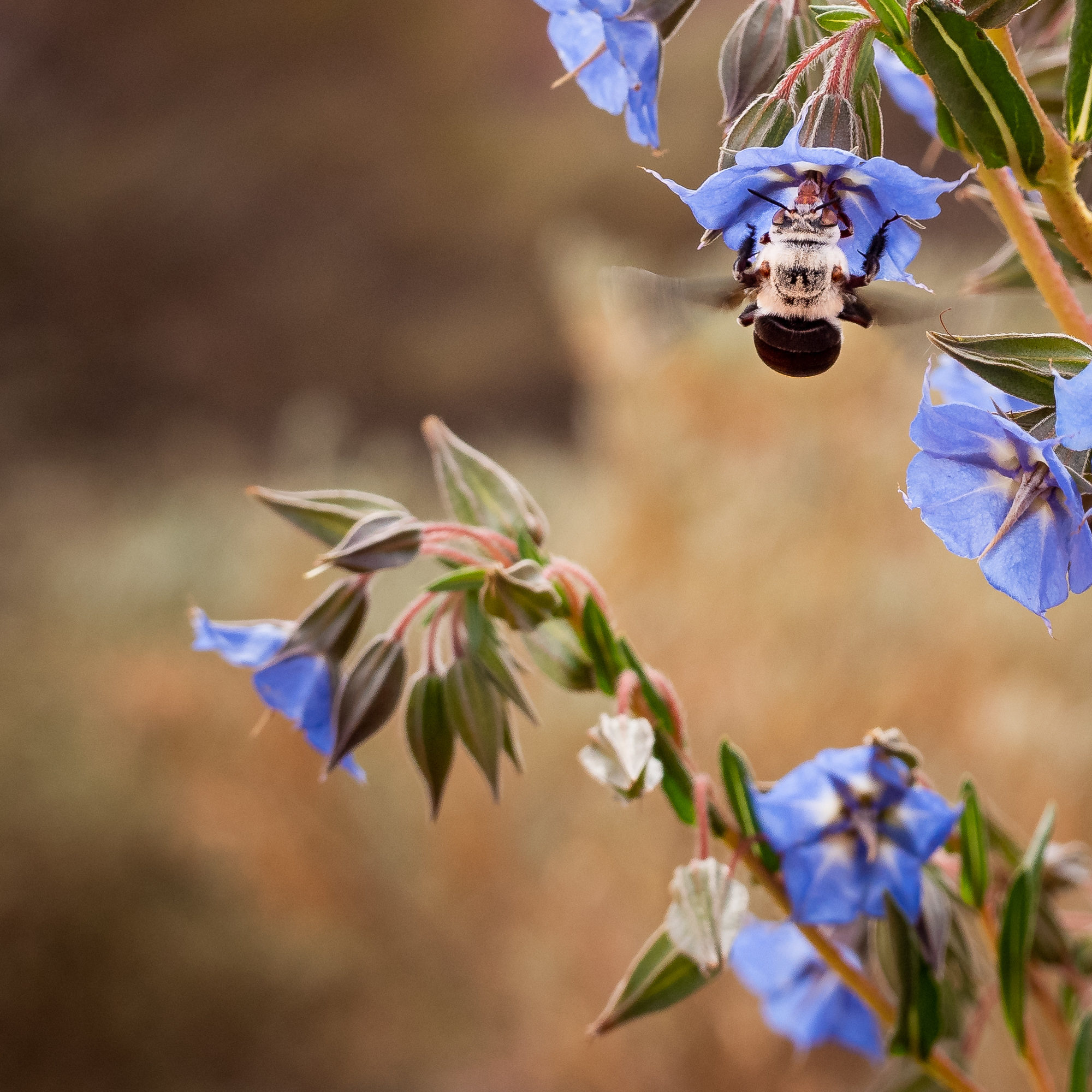
To finish off our day, we went hunting the endemic Dawson’s Burrowing Bee, one of Australia’s largest native bees. As per their name, they dig and lay their eggs in burrows and whilst they congregate together, there is no queen and they don’t live in a colony. Following a tip off from our camp hosts, Chris and Diane, we trundled up the road a bit looking for a 1080 poison bait sign and a bush with blue flowers. Having found both we pulled over and I jokingly said, “I see one”, only to step out of the car to find the blue flowers abuzz with them. The male bees are smaller and aren’t that dissimilar to a honeybee, but the females are much larger, probably 3 to 4 times bigger than a honeybee and are coloured a grey/blue colour. We can now tick them off our ‘have seen’ list, however, getting a decent photograph of them was bloody hard as they only spend a second or two in each flower before moving on. Despite this we managed to get a couple of pics as proof of our find.
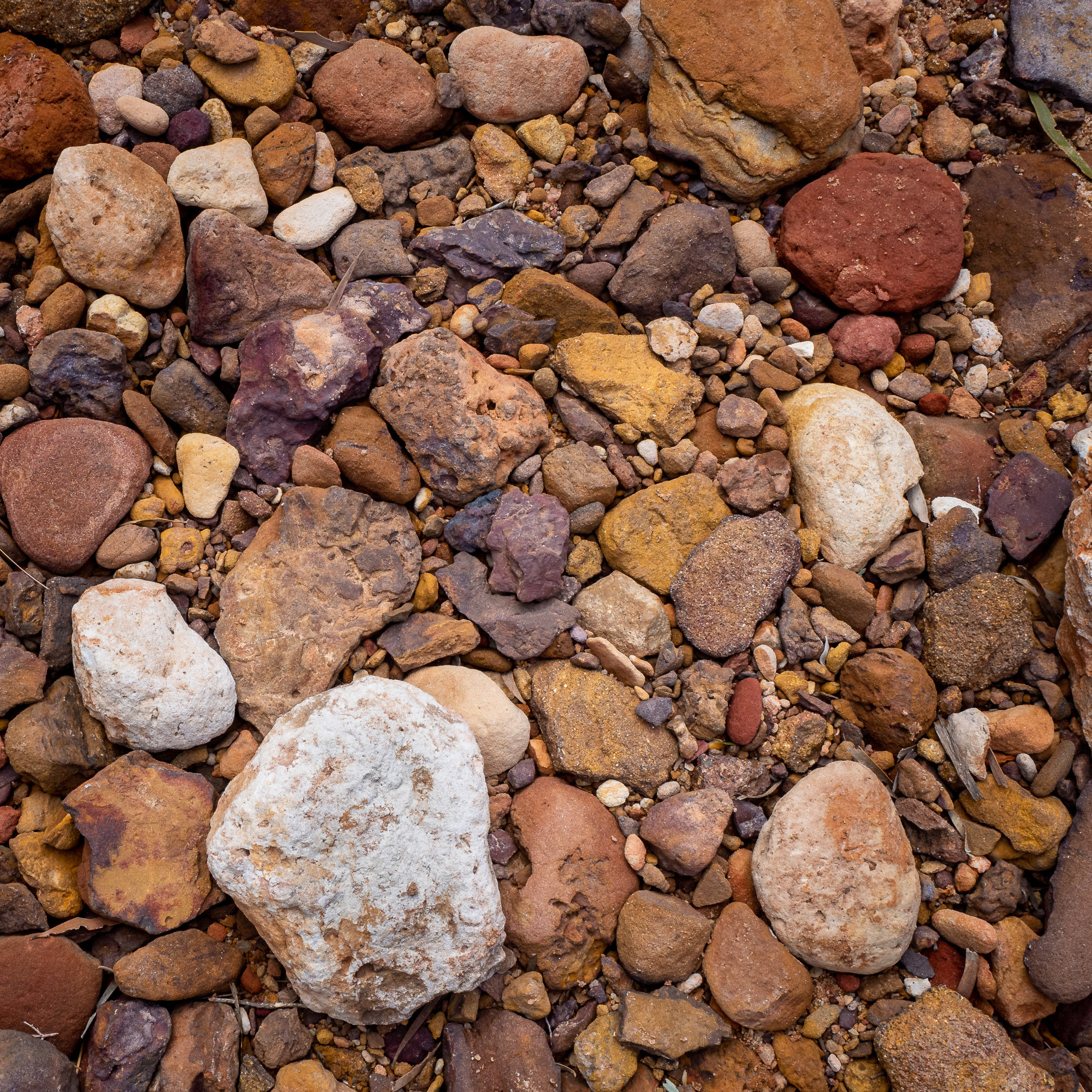
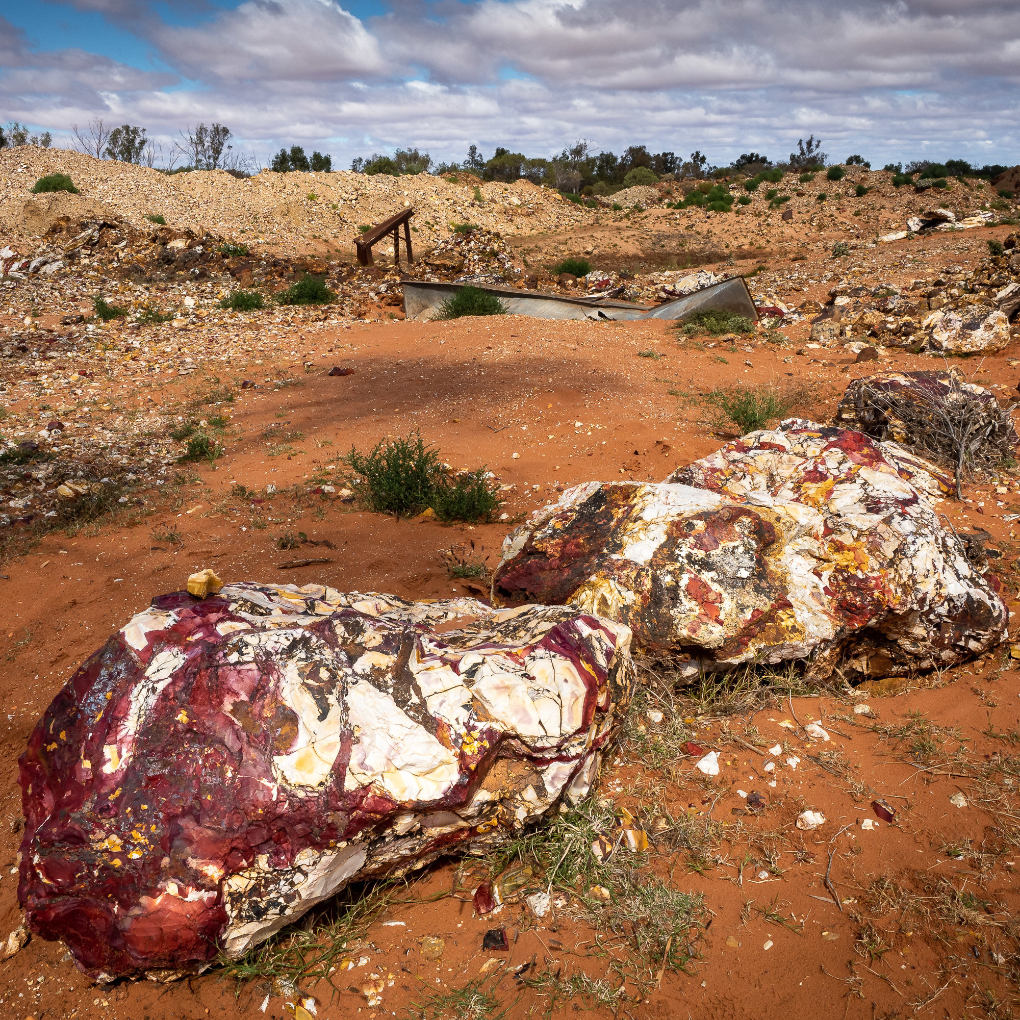
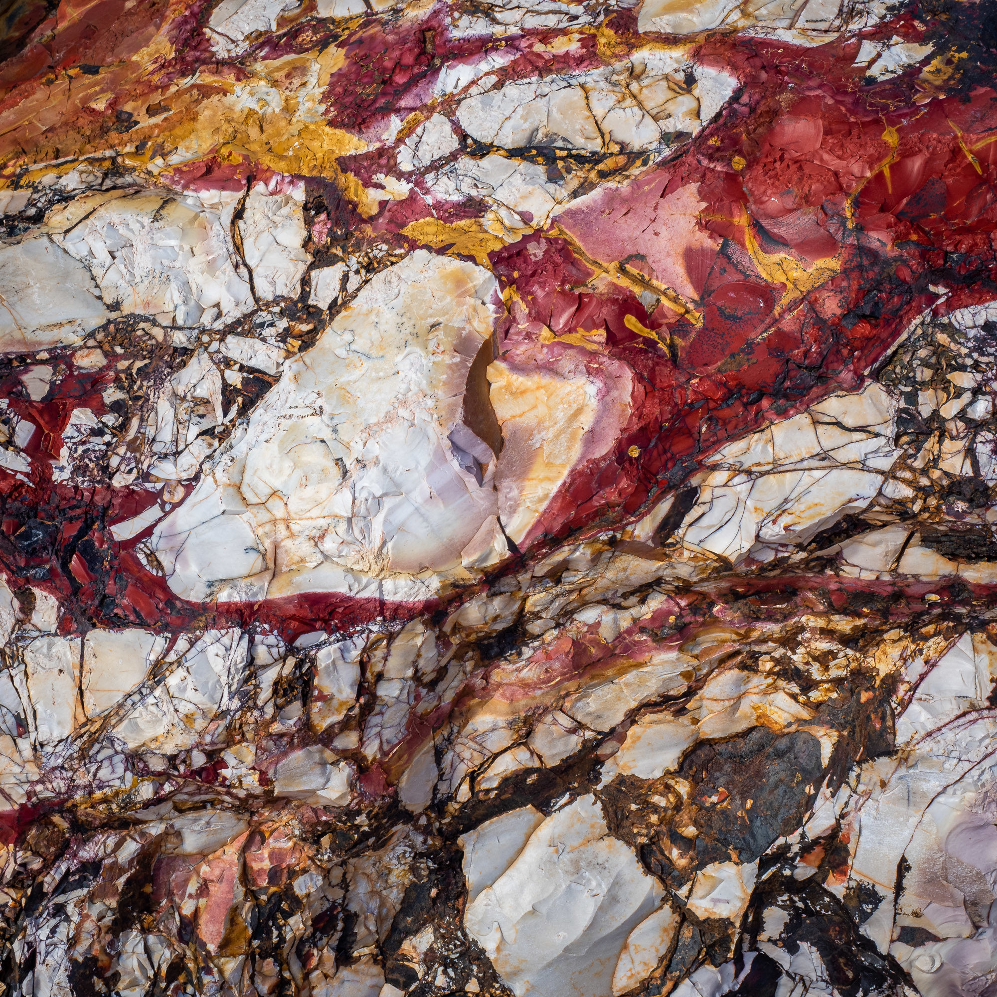
On our final day at the range, we decided to drive into the start of the West Kennedy Range, first stopping by Gascoyne Junction for a coffee and mobile coverage so we could check in with the girls. From Gascoyne Junction we headed east about 30kms and then turned North, up to the West side of the range. We only drove 30kms in, crossing the Gascoyne River again, however, this time in low range 4wd as a river crossing. 4wd low range was required in a few spots along the track due to some very muddy spots but most had chicken tracks so we weren’t too stressed by the path in. Our destination was the Mooka Spring, what must be a permanent waterhole as there was plenty of water, small fish and heaps of bird life. The other highlight for me (Tony) was the Mookalite mine just down the river, where they mine the only known source of Mookalite, a Jasper like compressed sandstone which comes in a myriad of colours and is sought after for its colours and ability to be shaped and polished into jewellery.
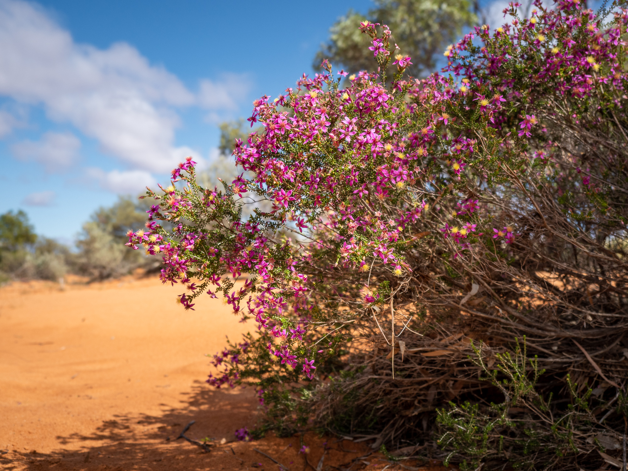
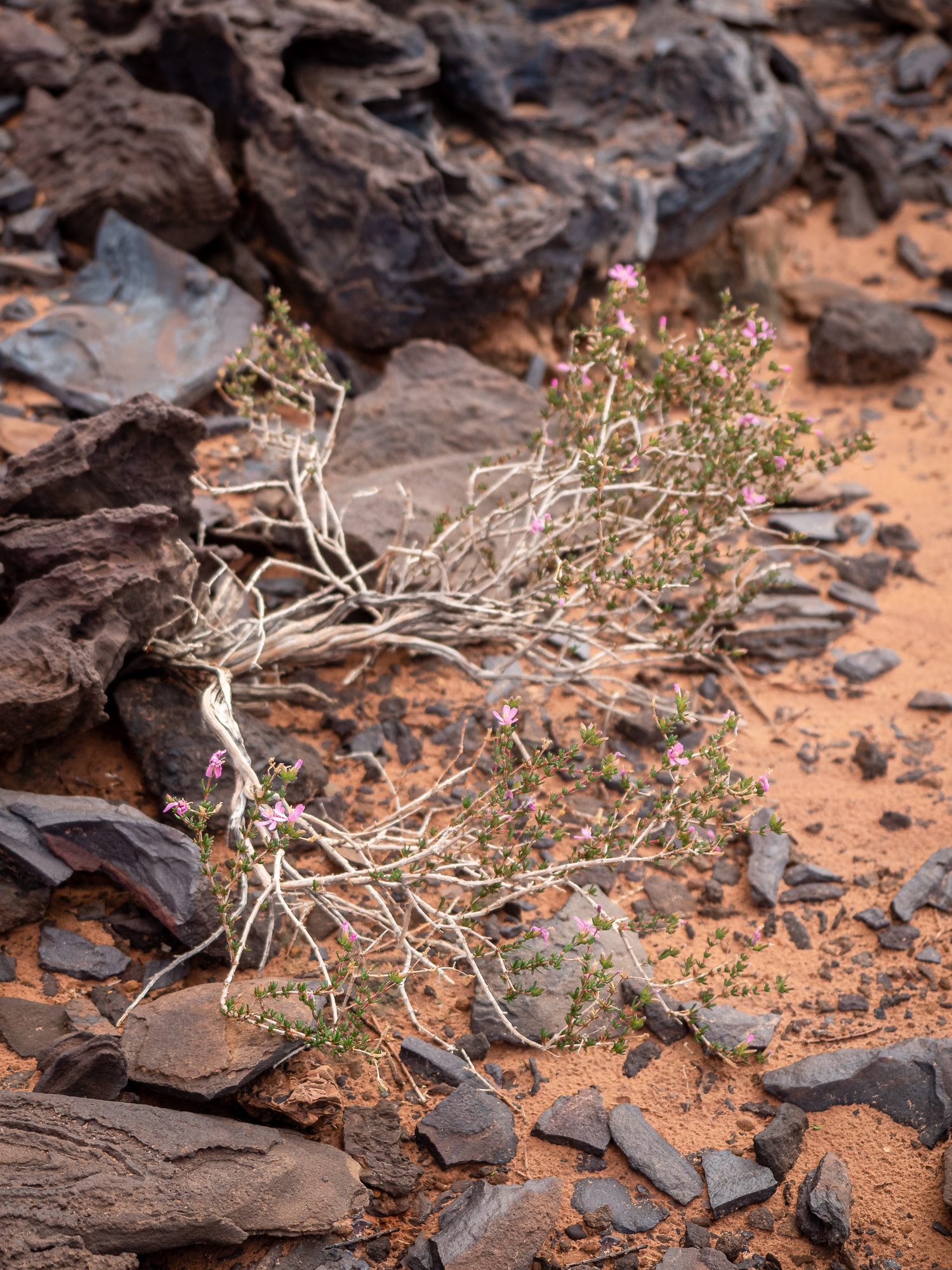
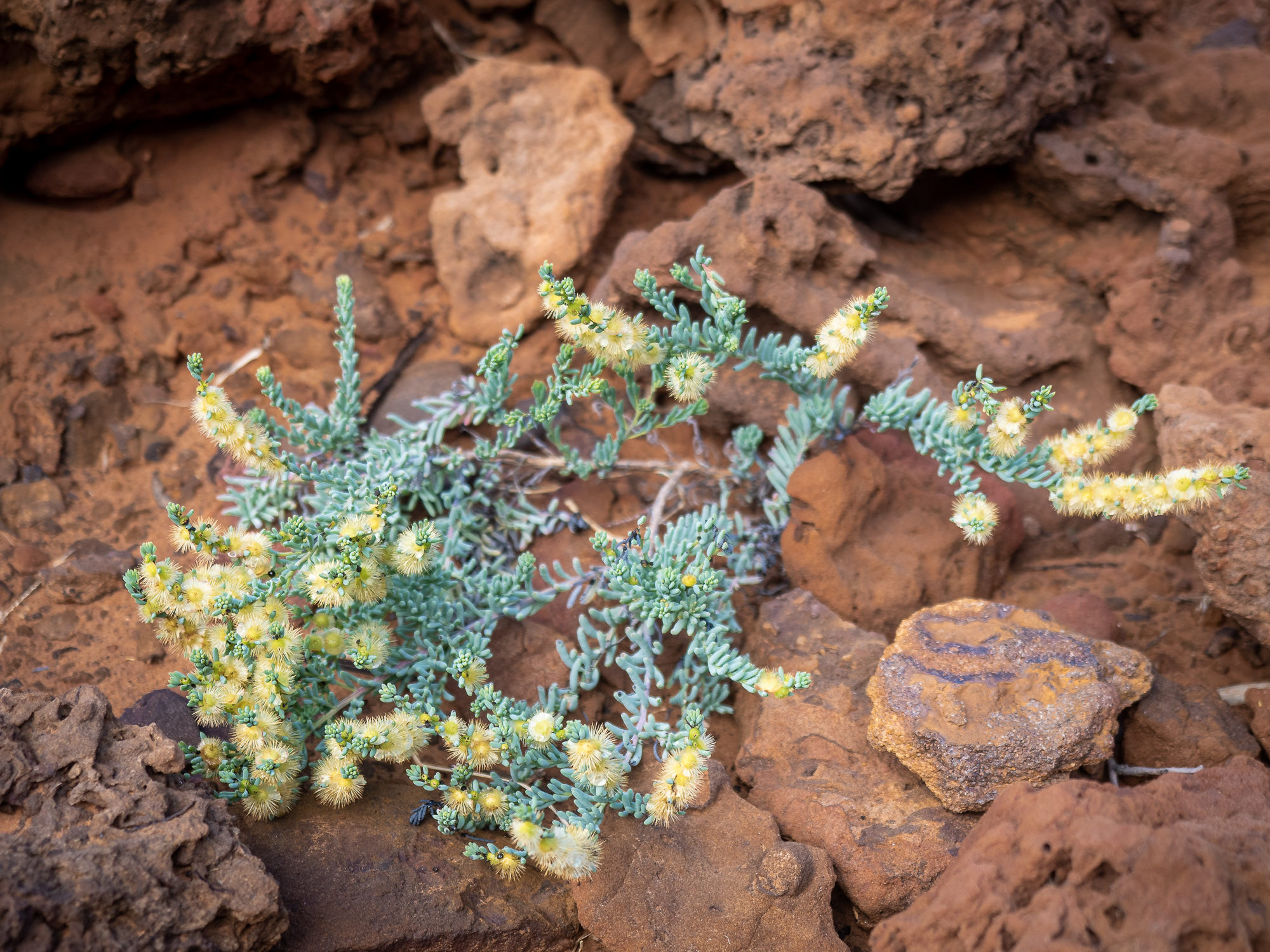
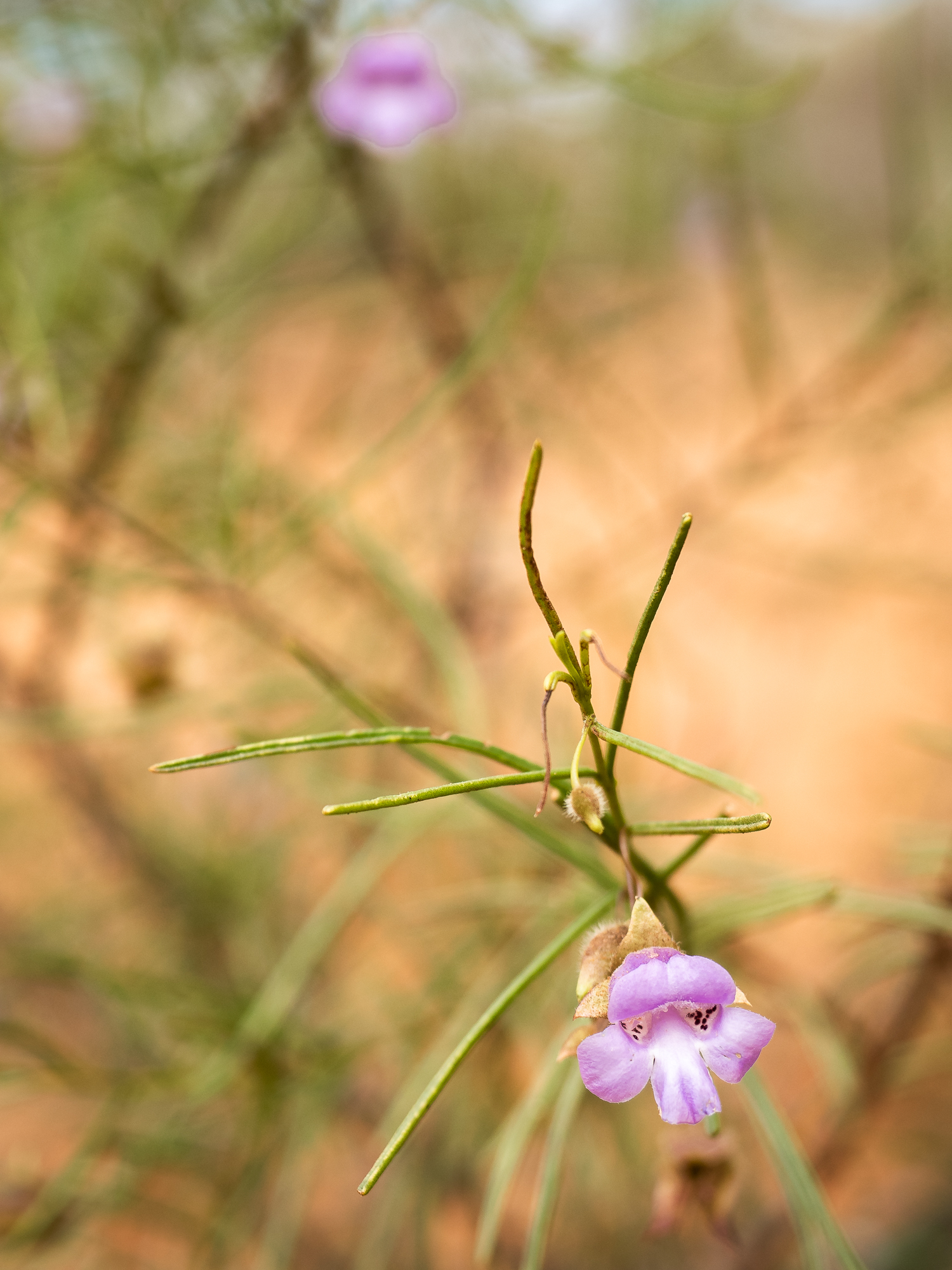
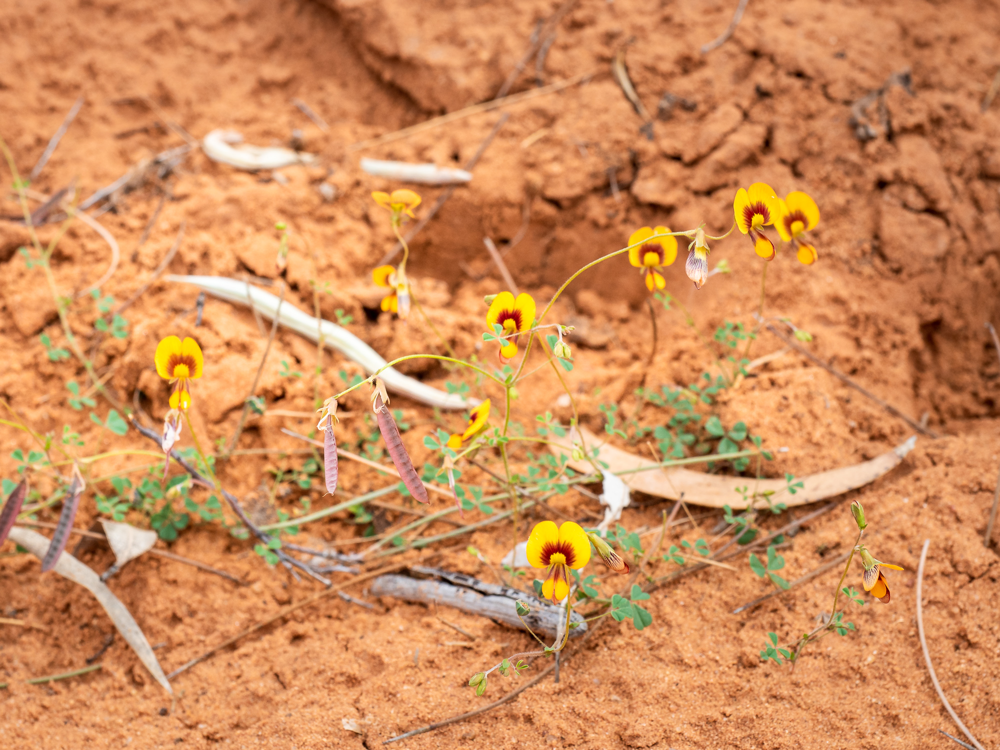
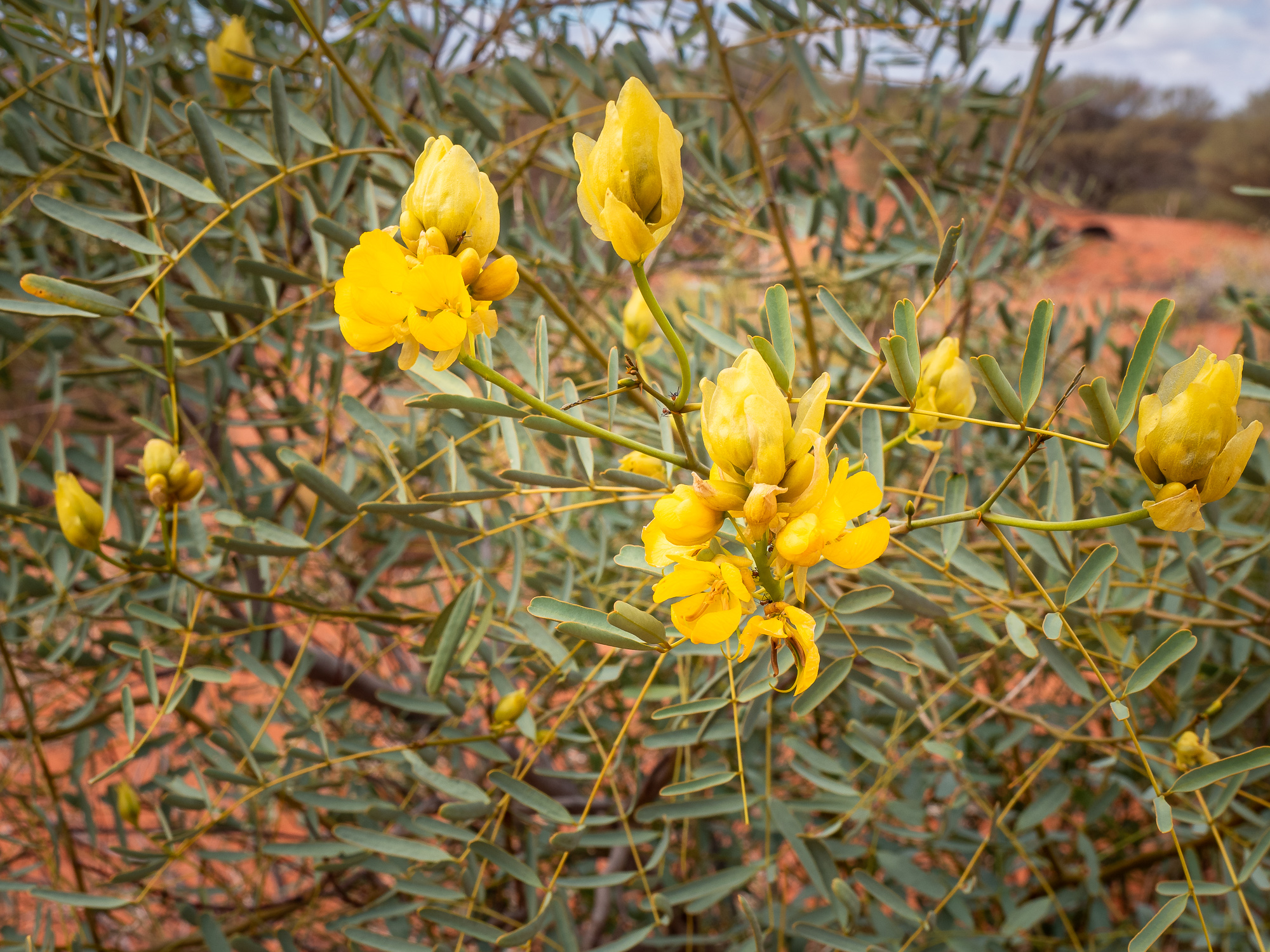
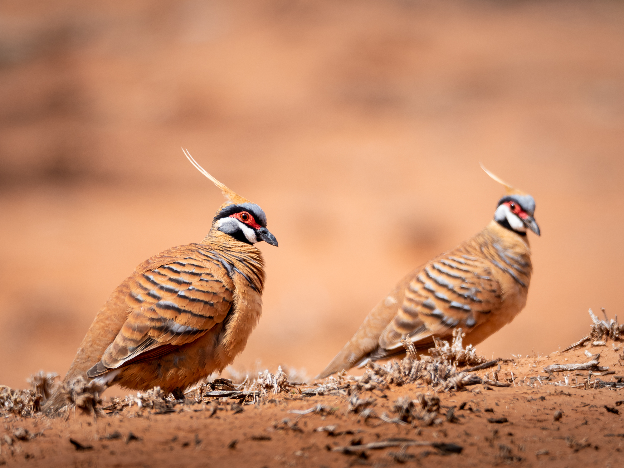
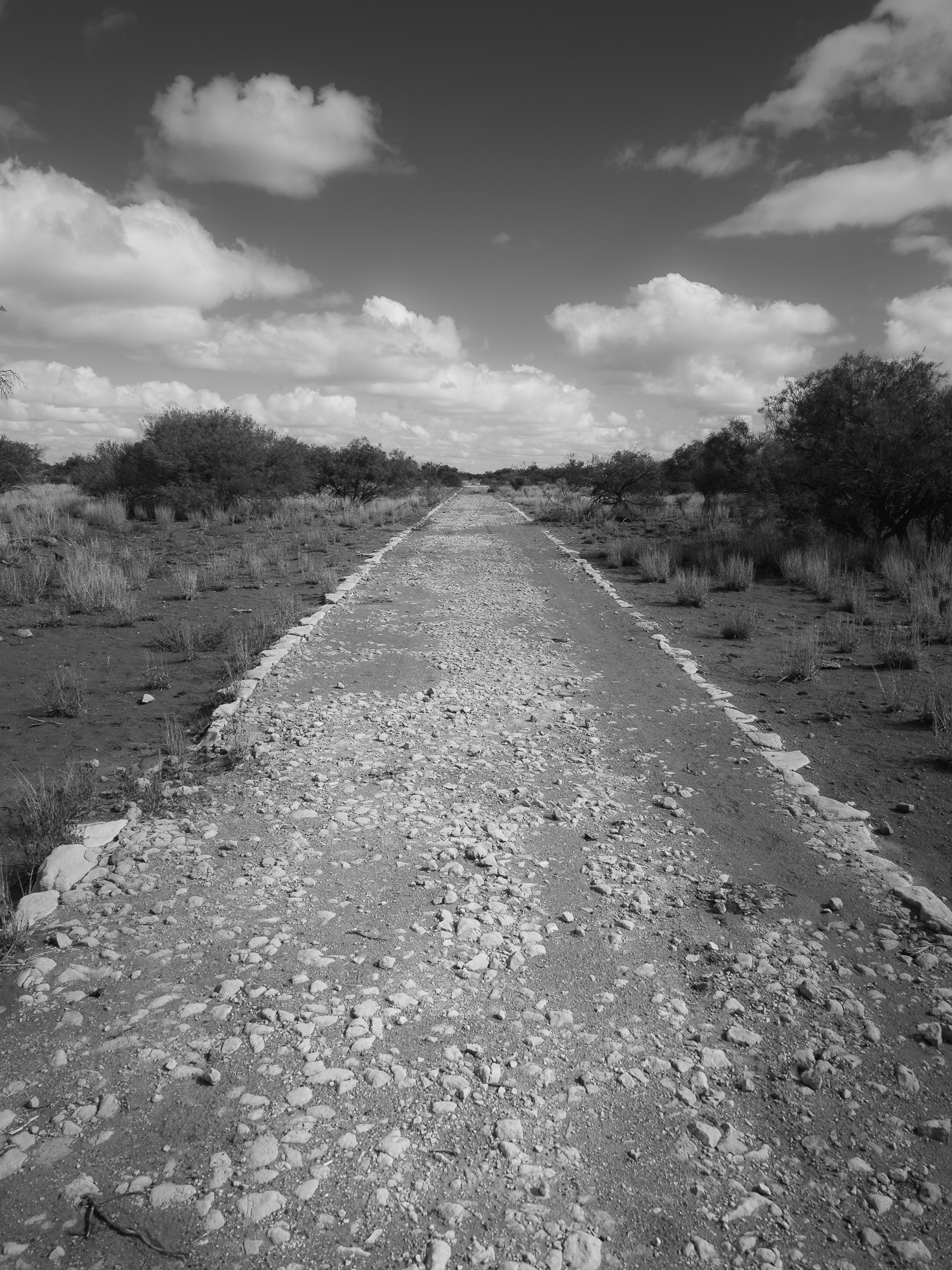
On the route out, we stopped a couple of times to explore some sand dunes, looking for Thorny Devils which we didn’t find. But we did find a bunch more pretty wildflowers and some Spinifex Pigeons who weren’t fazed at all by the car when we pulled up beside them. Finishing the trip home, we checked out the info sign by the Davis Creek crossing for the Cobbled Road, which runs alongside the current road, and was laid back in the 1930’s during what was essentially a ‘work for the dole’ style initiative during the great depression. Previous to this track, the only way to transport wool out, and supplies into the region was via horse or camel train and wagons. With the introduction of the automobile, they tried to truck supplies through but either became bogged in the wet mud during winter, or sand bogged atop the sand dunes when the sand was dry and fine during summer. Hence the government paid 2cents per kilometre to the teams laying the Cobbled Road.
Having completed all the trails in the Kennedy Range, we’re going to continue heading west tomorrow (Thursday 13/8) and spend a couple of nights along the coast somewhere before meeting up with the boys on Saturday at the Murchison Homestead for our last week of the trip.