Much like scuba diving the Great Barrier Reef, visiting the Daintree Rainforest was bucket list item #2 for me on this trip.
Alby Mangels and the Leyland Brothers excited me about travelling, Harry Butler taught me respect for our bush and to always turn the rock back over once you’ve looked underneath, David Attenborough filled me with wonderment at our natural environment, and my parents have always encouraged me to get out there and to have a go. So, with these leaders in my history, the Daintree Rainforest has always been high on my list of places to visit and it didn’t disappoint. It wasn’t entirely what I expected it to be, but it’s wild, green and very beautiful.
Only 140kms from our previous campsite in Cairns, we drove up through Mossman and then caught the ferry across the Daintree River. From there it was a short, but windy and hilly, 30km drive through the rainforest to Cape Tribulation.
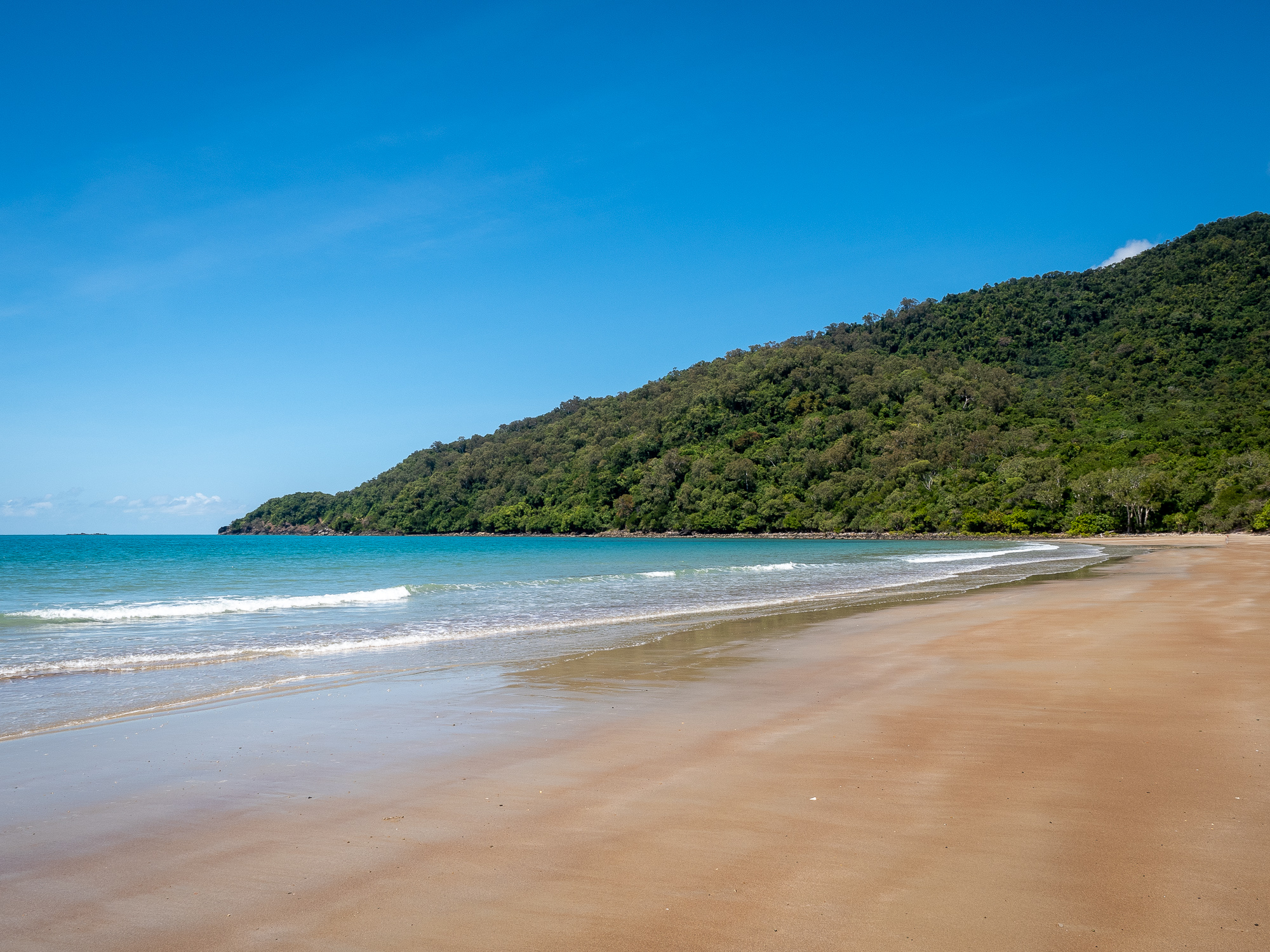
Camping at the very well positioned Cape Tribulation Campground, we have rainforest covered mountains to our West and a beautiful sandy beach, just metres away from our campsite to the East. Because of the trees around the park, we struggled a bit maintaining solar charge to our van and car batteries, but with some careful planning and strategic panel manoeuvring we managed ok.
We spent the first afternoon, lazing around camp and trying our hand at some Whiting fishing, both Rod and I caught one, but they were hard to entice on popper lures. Finishing the evening sitting on the beach, spotting satellites so we could eat chocolate (no satellite = no chocolate).
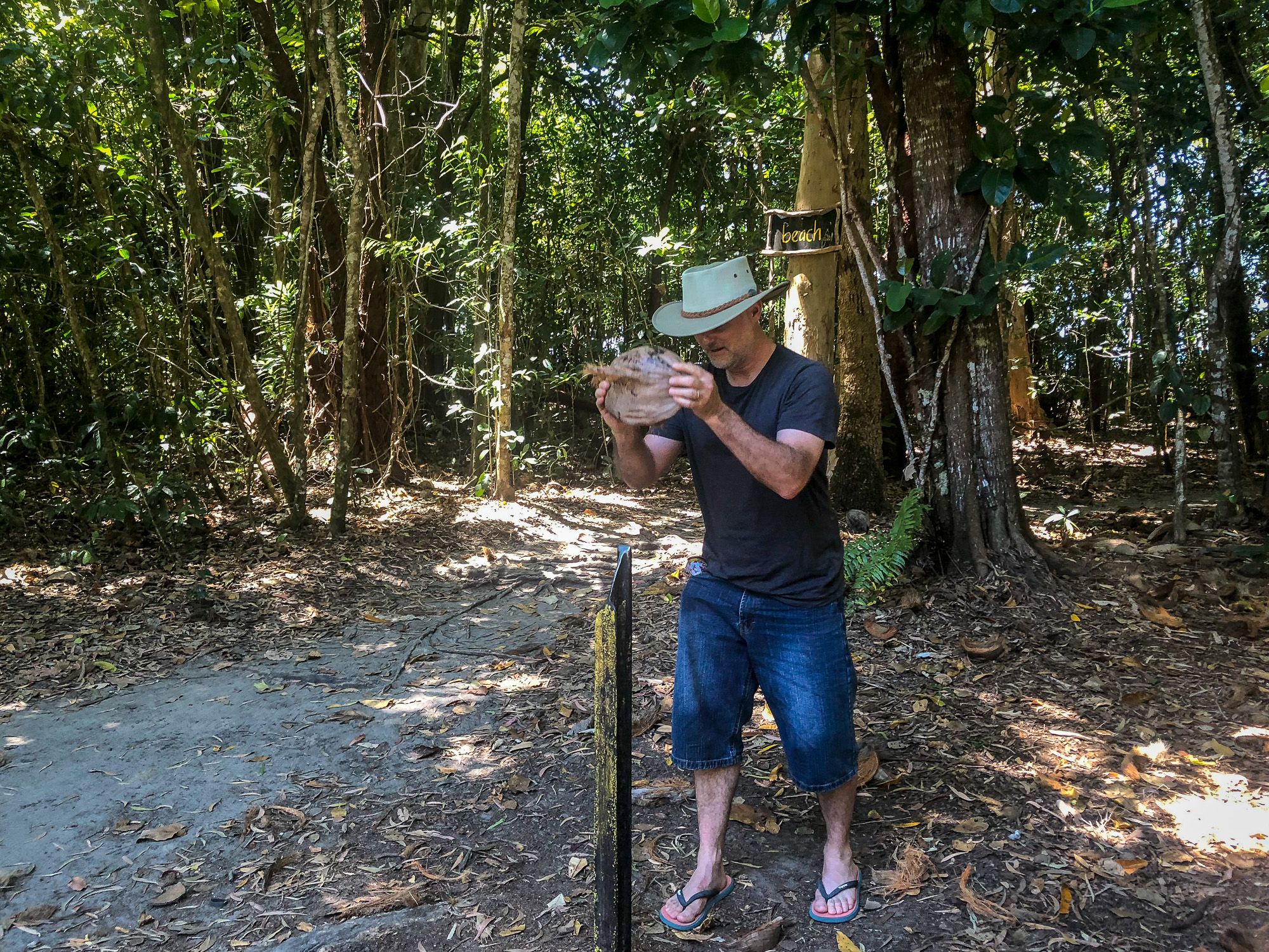
<< Photo credit: Jeff – Me opening a coconut, found in the trees behind me, at our campsite >>
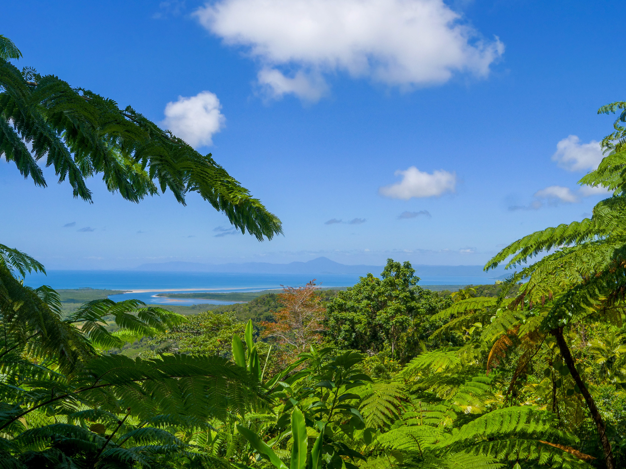
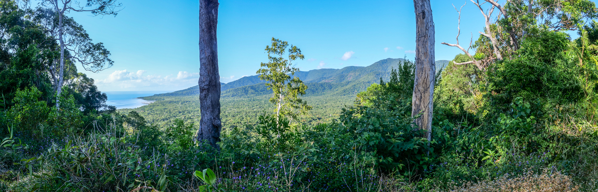
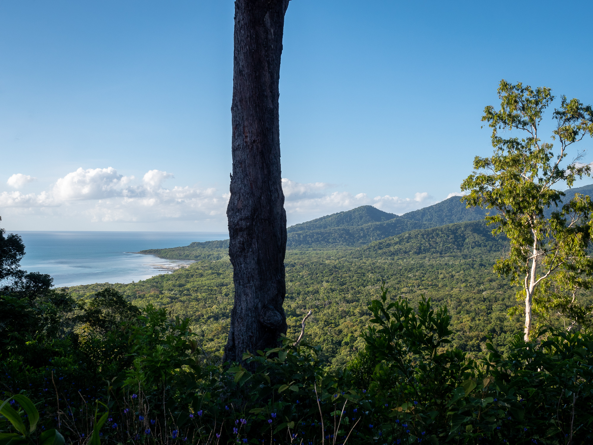
<< Photo credit: Rod – The view out Alexandra Range Lookout, rainforest all the way down to the beach >>
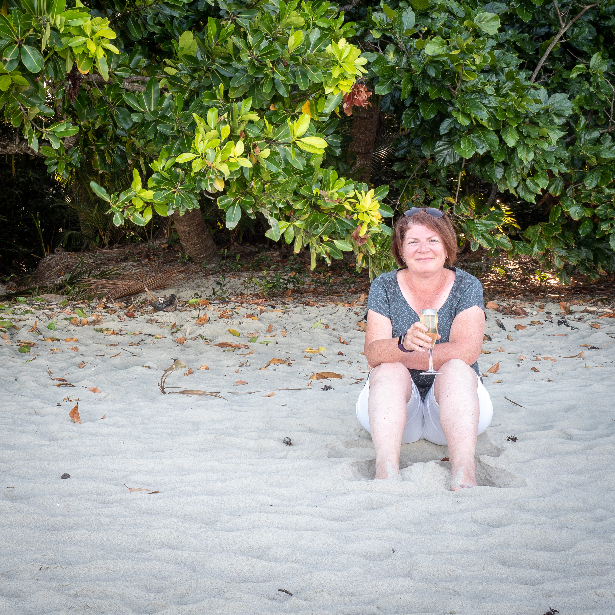
<< Photo credit: Tony – Jules enjoying a glass of bubbles on the beach, just metres from our campsite (through the trees behind her) >>
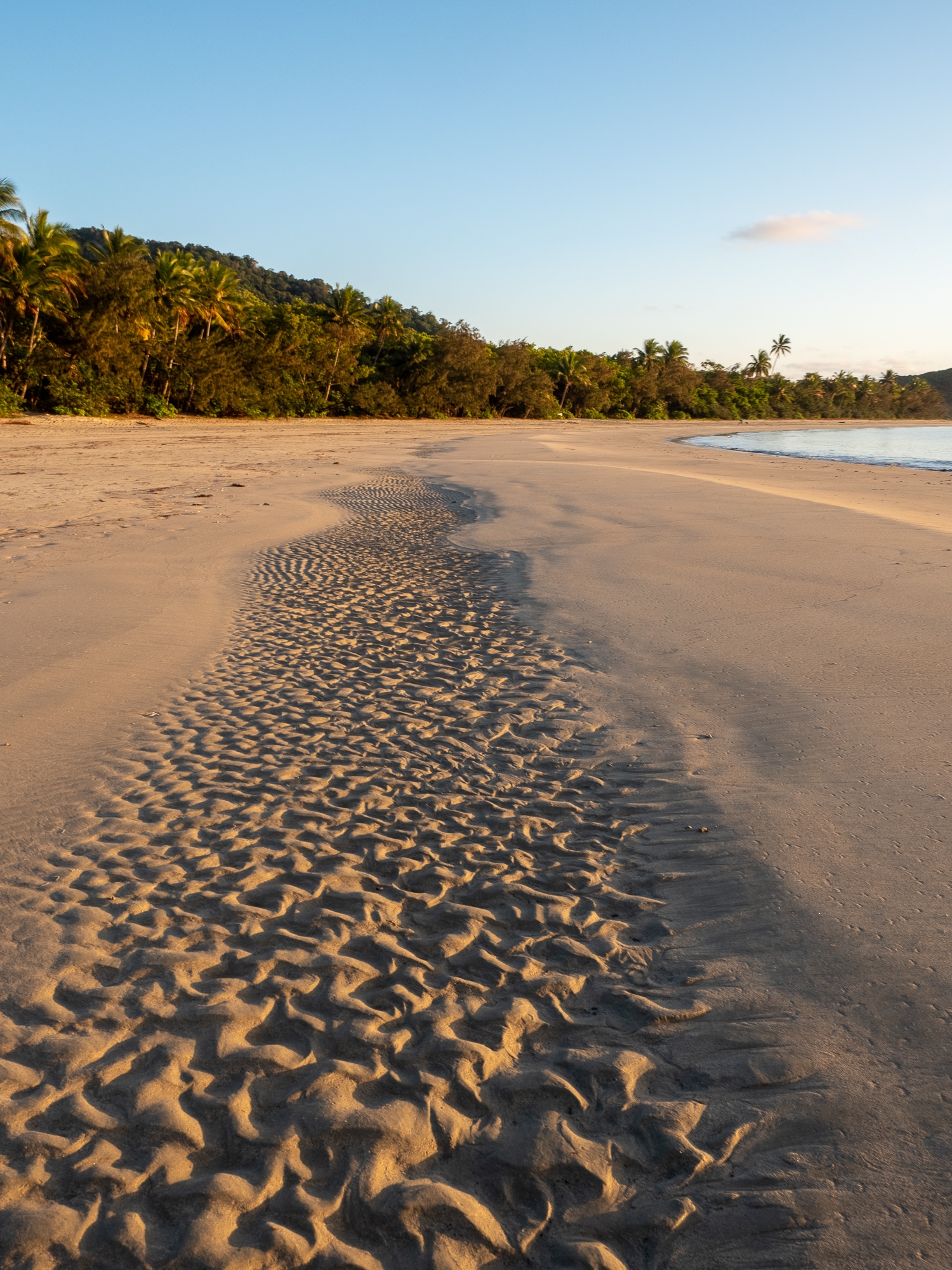
Tuesday 3rd Sept. Jules and I were up at sunrise and walked North up the beach about 3kms to Cape Tribulation point, before wandering back to our camp for brekkie. We spent the rest of the day driving around the various sights and walks within 20kms of our camp. A couple of lookouts and rainforest boardwalks, before dropping into the Daintree Ice Cream Company for artisan ice cream flavoured with the in season tropical fruits. Today we had Soursop, Davidson Plum, Wattle Seed and Coconut flavours. All were good, but the favourites were the Soursop, with its slightly lemon sherbet flavour and the Davidson Plum, tart but sweet. Before returning to camp, we drove slightly North to the Emmagen creek crossing for a looksee, which is also the start of the Bloomfield Track. Nice spot, but pretty busy as you can get here in a 2wd car. There’s a swimming hole to the left (upstream) of the crossing and an Achtung Crocodile warning sign on the crossing for the downstream side. We didn’t swim, but did take a couple of pics and chased some beautiful blue butterflies around for a photo. Rather than cooking tonight, we spent the afternoon and evening at the bar in the campground for beer, wine and pizzas, a really nice evening.
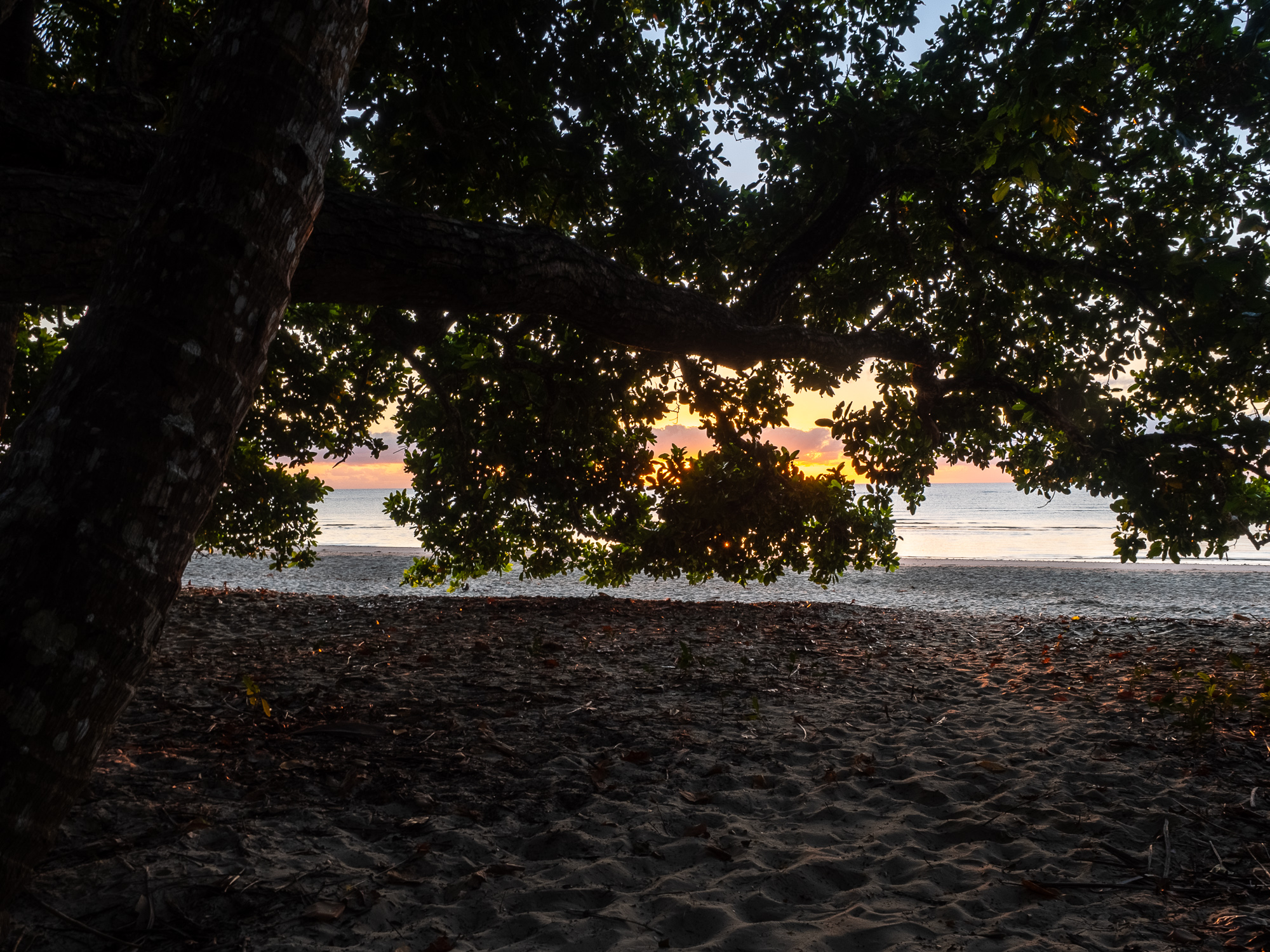
<< Photo credit: Tony – Sunrise and the rainforest edge silhouette >>
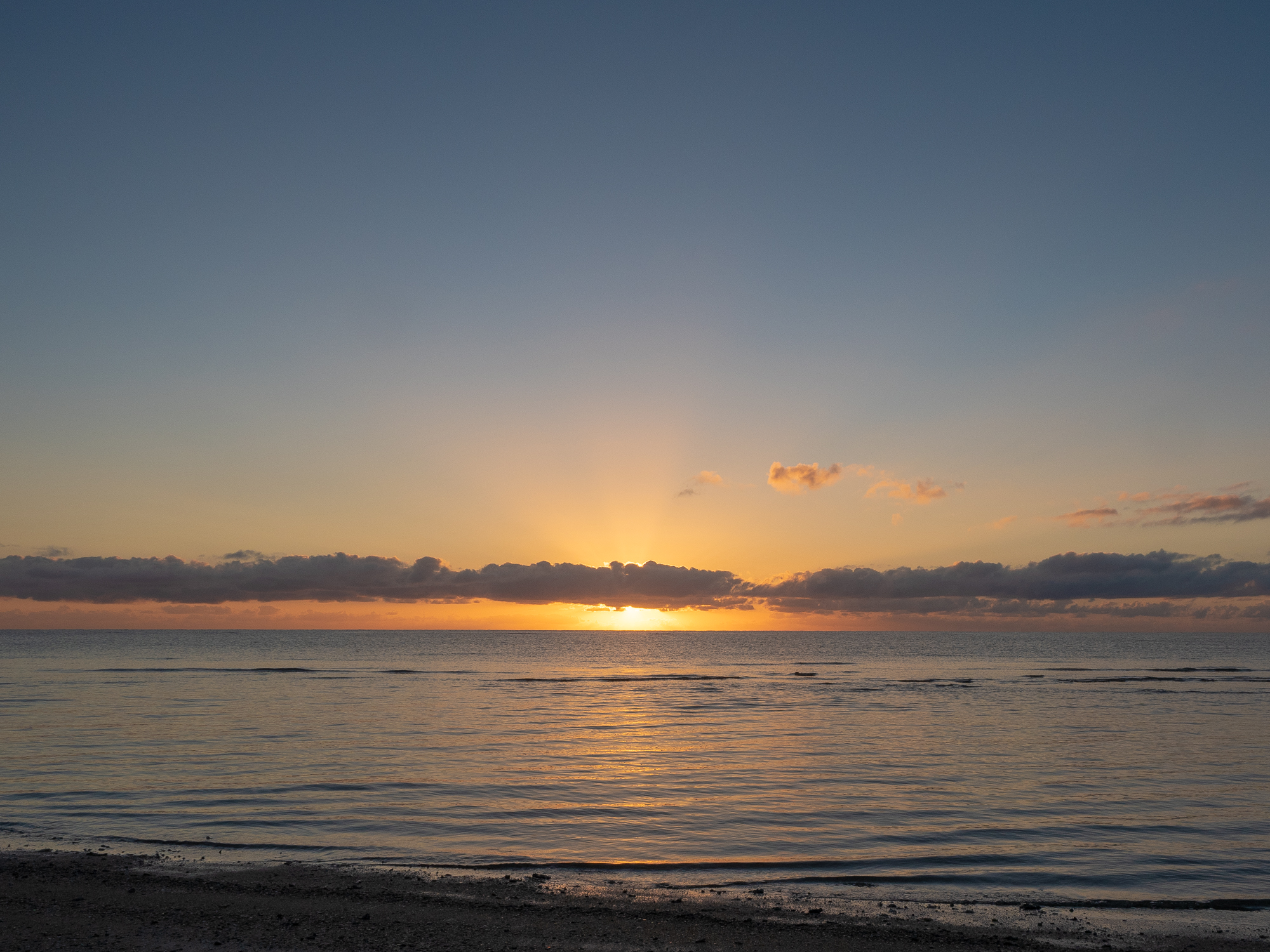
<< Photo credit: Tony – Sunrise from our camp beach >>
<< Photo credit: Tony – The beach behind our camp at sunrise>>
<< Photo credit: Tony – The beach behind our camp at sunrise >>
<< Photo credit: Tony – Jules and I walked up (north) along the beach to the Cape Tribulation point >>

<< Photo credit: Tony – A small shore bird, we think it’s a type of Dotterel on the beach >>
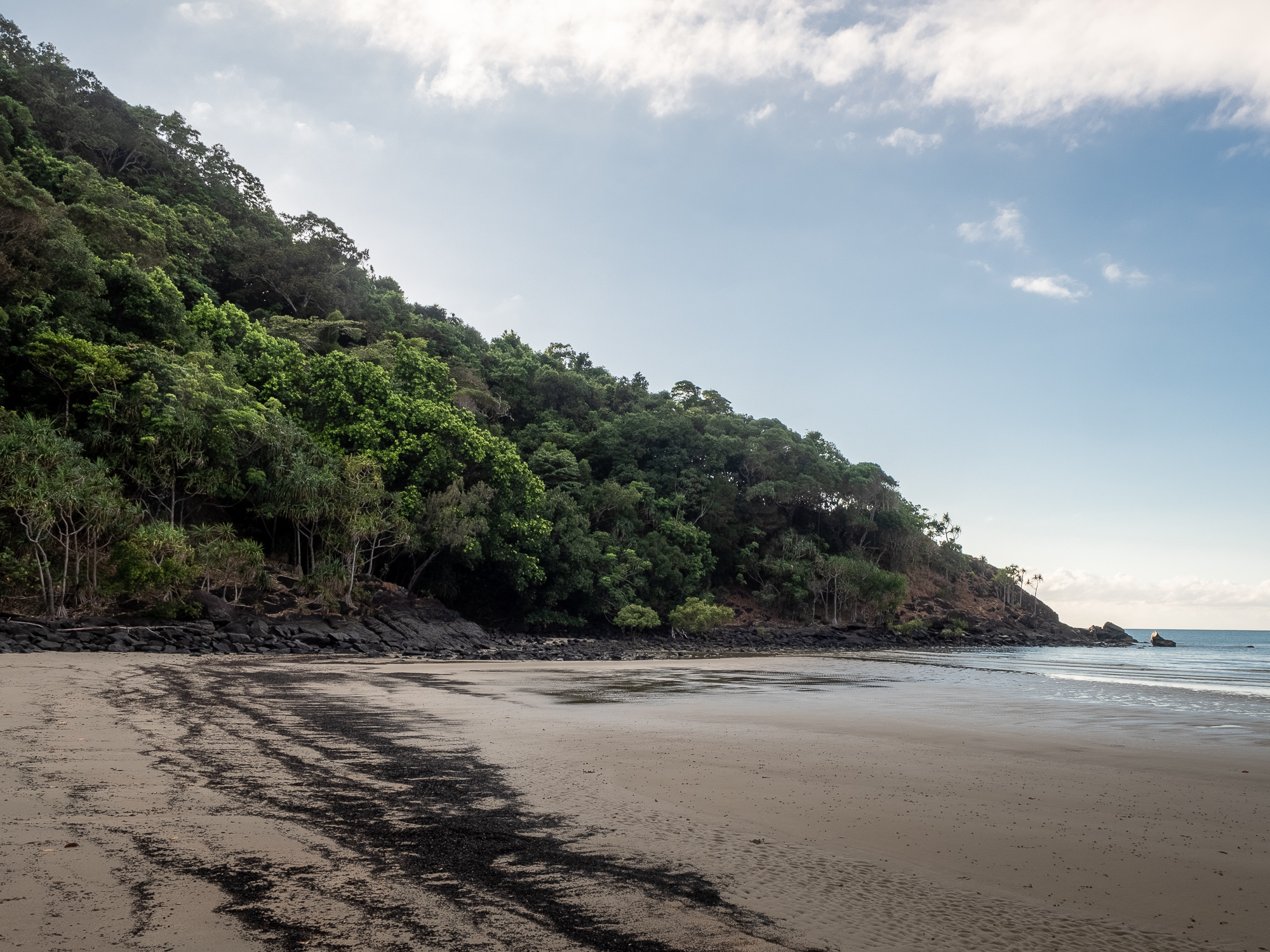
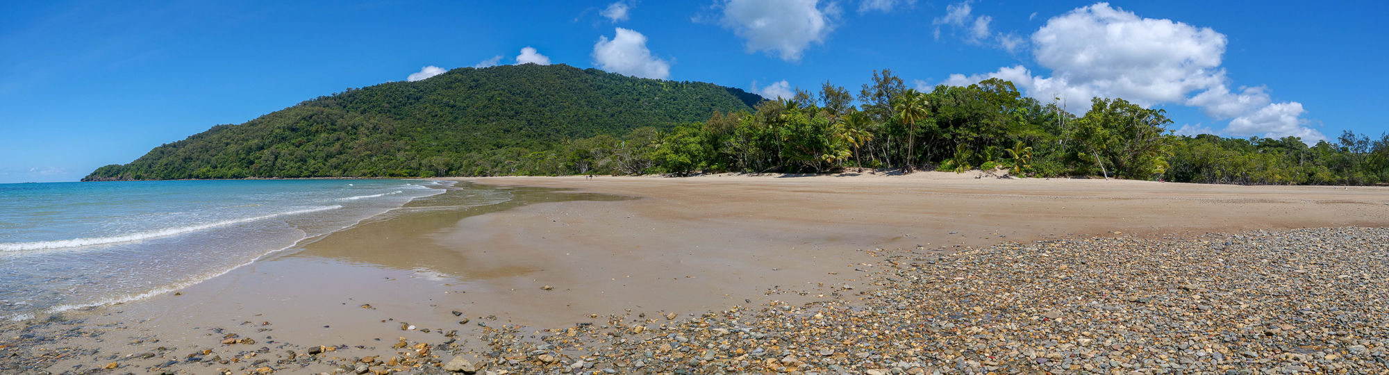
<< Photo credit: Tony – Another perfect Daintree beach >>
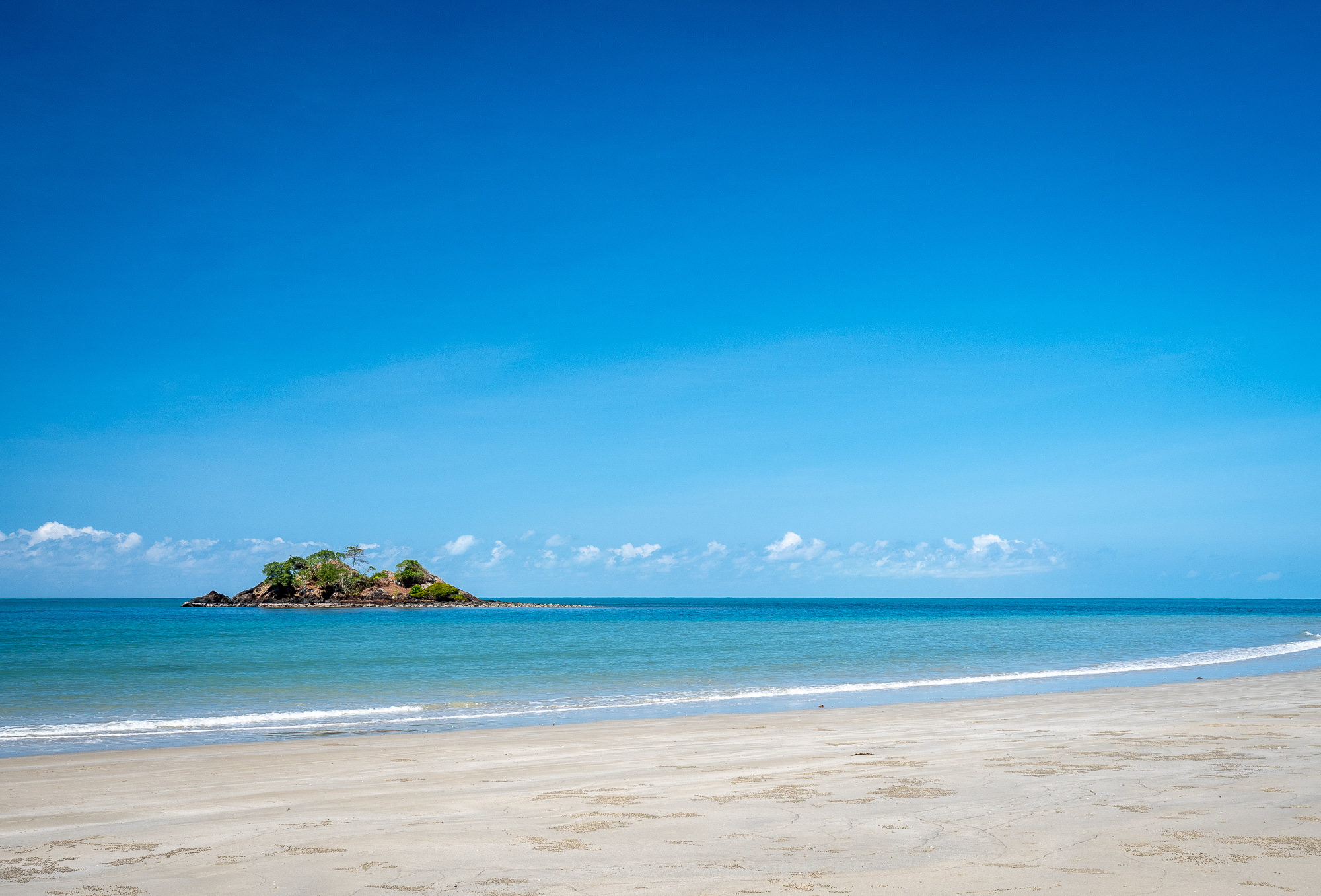
<< Photo credit: Tony – The island off Thornton beach >>
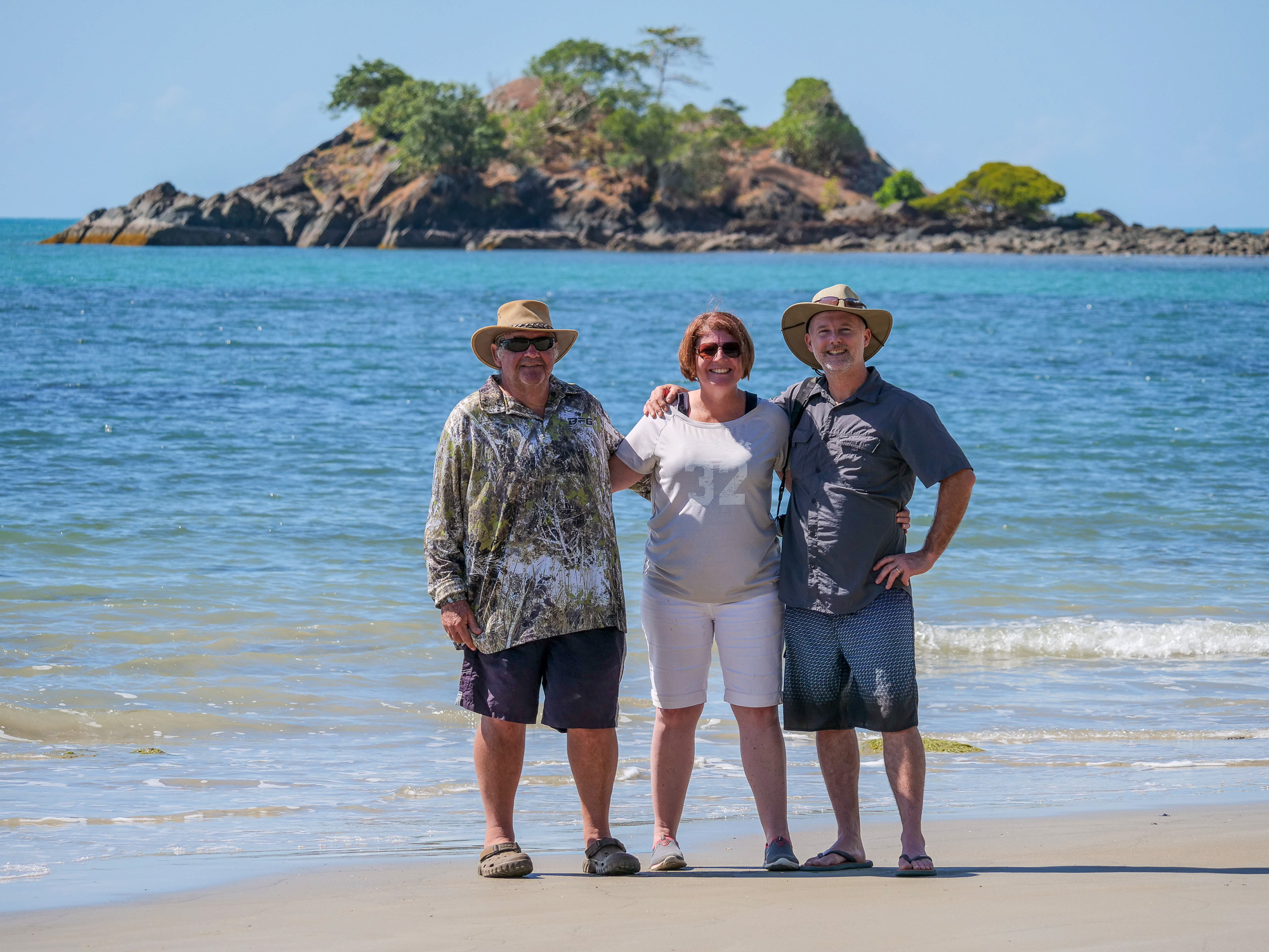
<< Photo credit: Rod – Posing on Thornton Beach >>
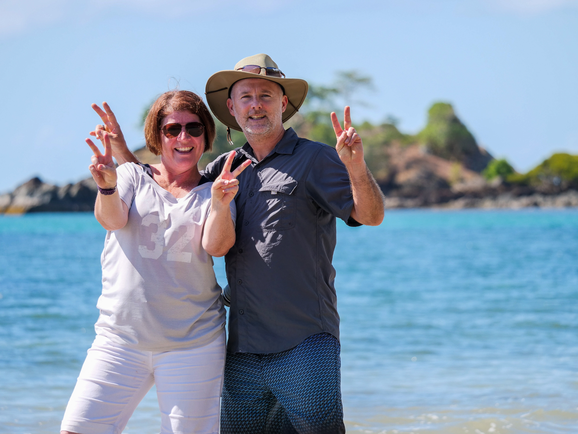
<< Photo credit: Rod – More posing on Thornton Beach >>
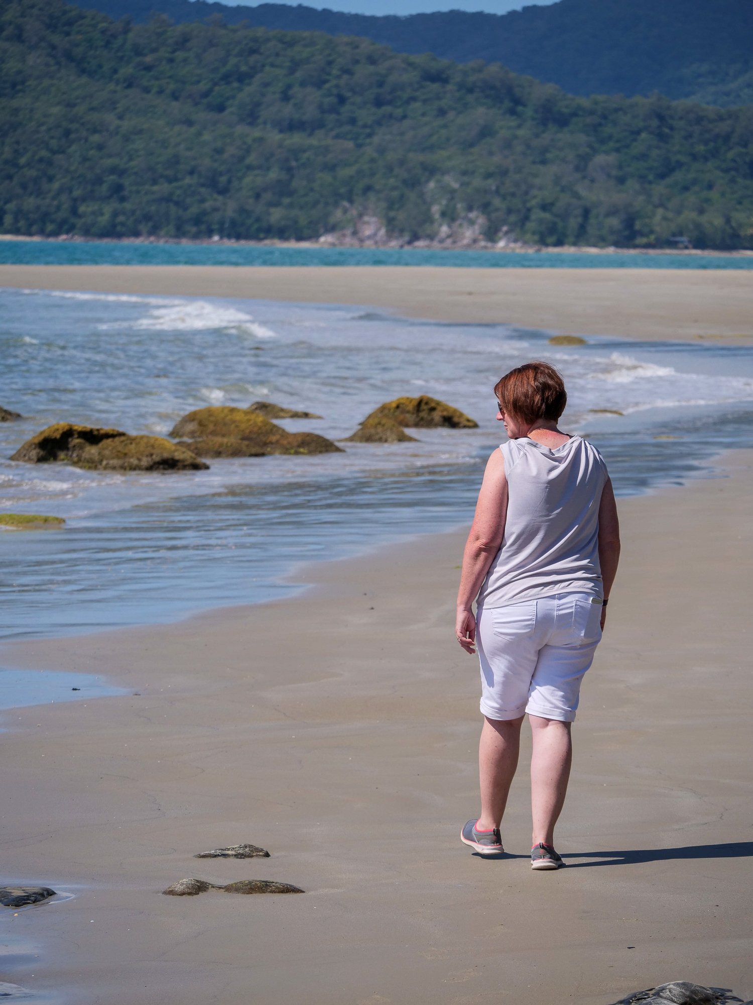
<< Photo credit: Rod – Jules wandering Thornton Beach >>
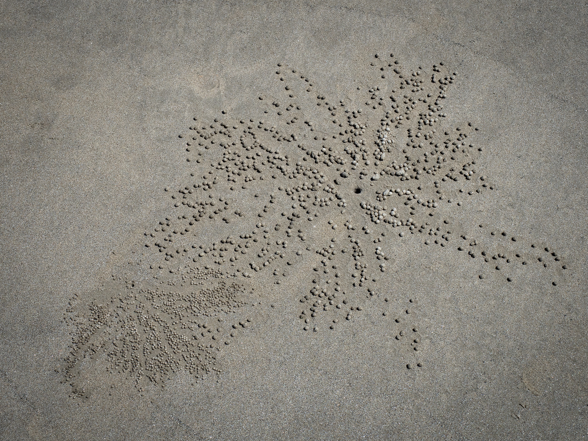
<< Photo credit: Tony – Sand crab pebbles (of sand) on Thornton Beach >>
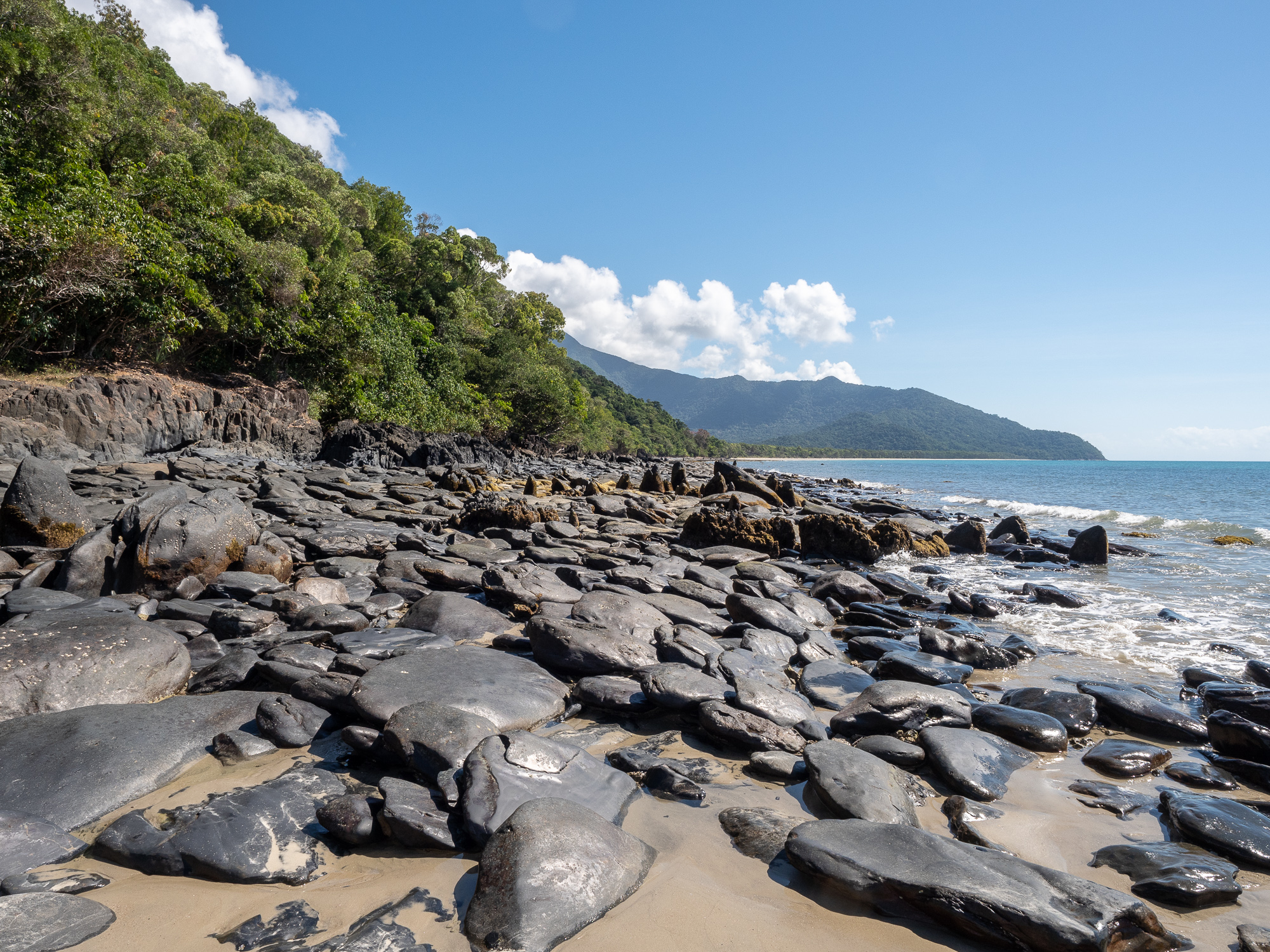
<< Photo credit: Tony – The volcanic rock, looking north along Thornton Beach >>
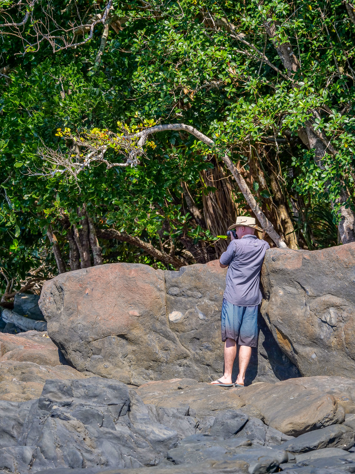
<< Photo credit: Rod – The intrepid photographer, me, on Thornton Beach >>
<< Photo credit: Tony – Thornton Beach rocks >>
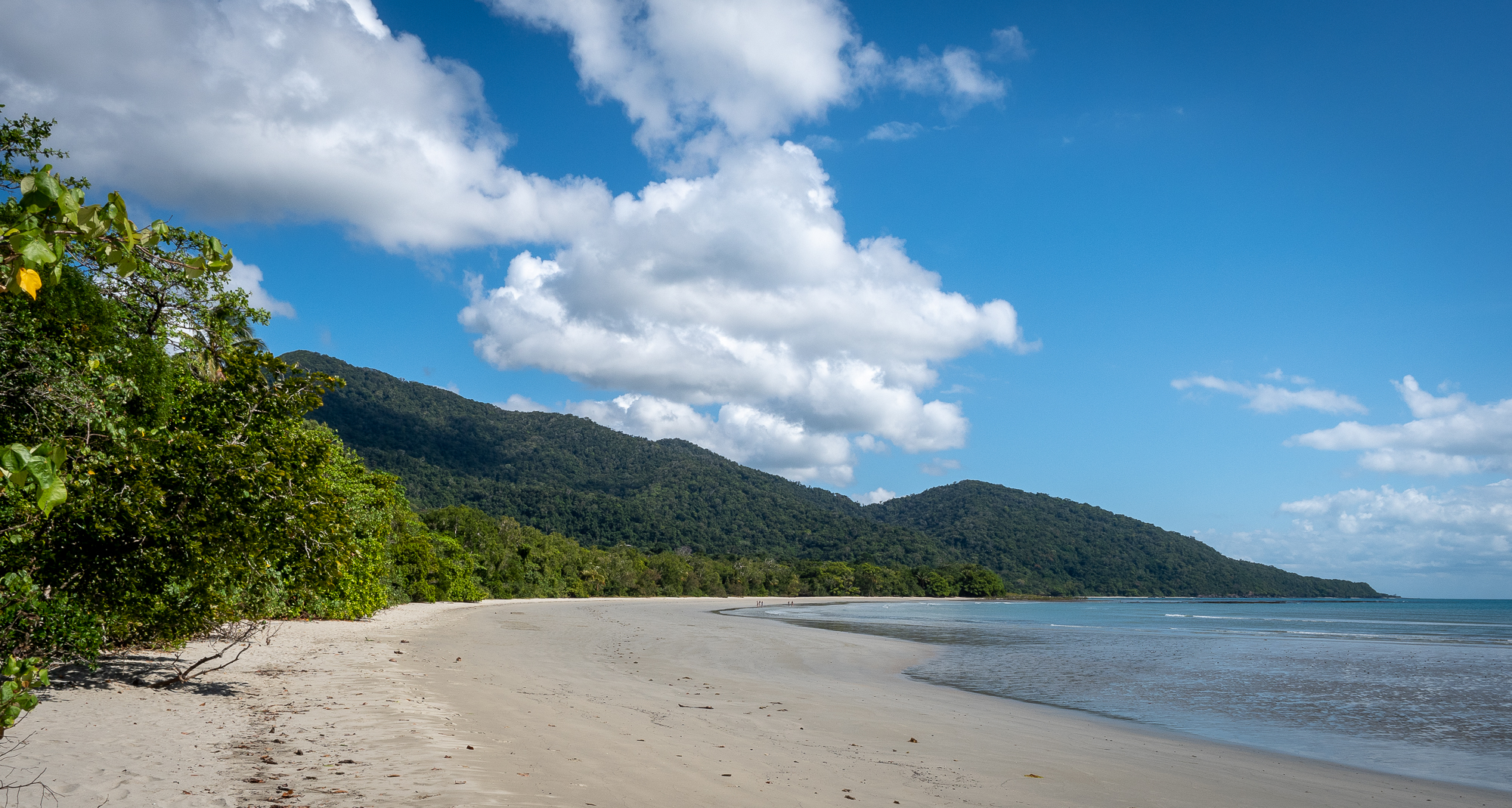
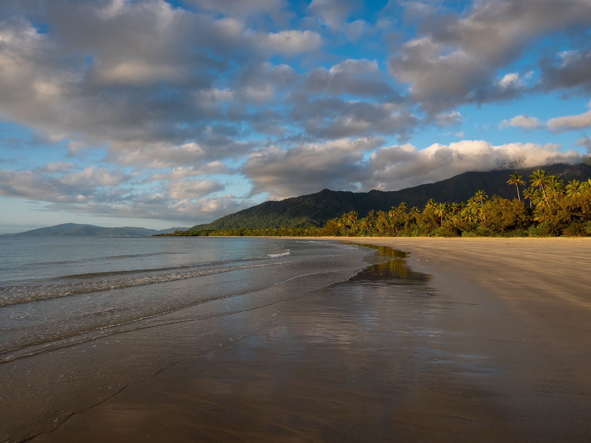
<< Photo credit: Tony – Looking north along Cape Tribulation Beach >>
<< Photo credit: Rod – Looking south along Cow Bay Beach >>
<< Photo credit: Rod – Rainforest >>
<< Photo credit: Rod – Rainforest >>
<< Photo credit: Rod – Rainforest >>
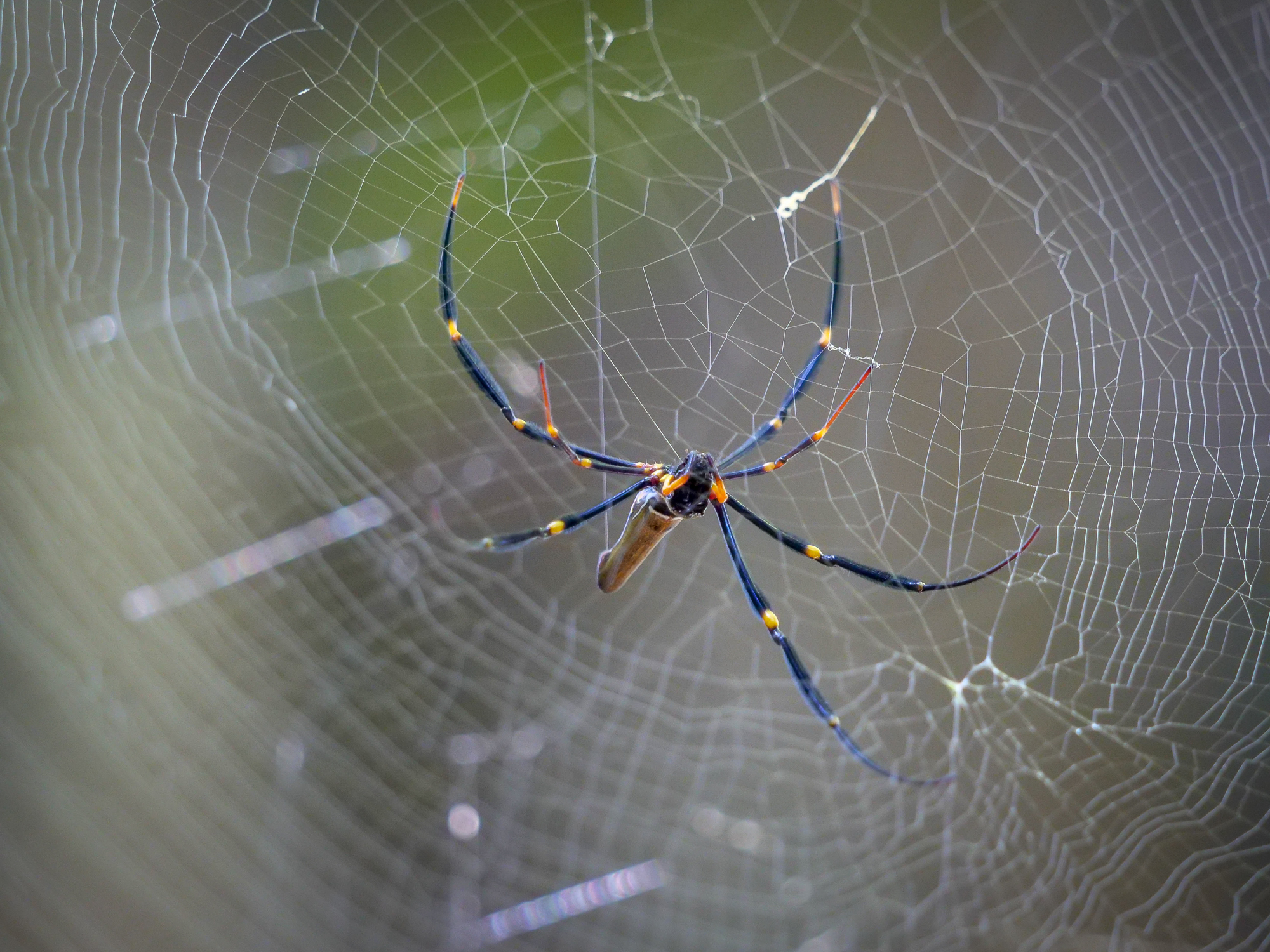
<< Photo credit: Rod – Golden Orb Spider >>
<< Photo credit: Tony – Rainforest >>
<< Photo credit: Tony – Rainforest >>
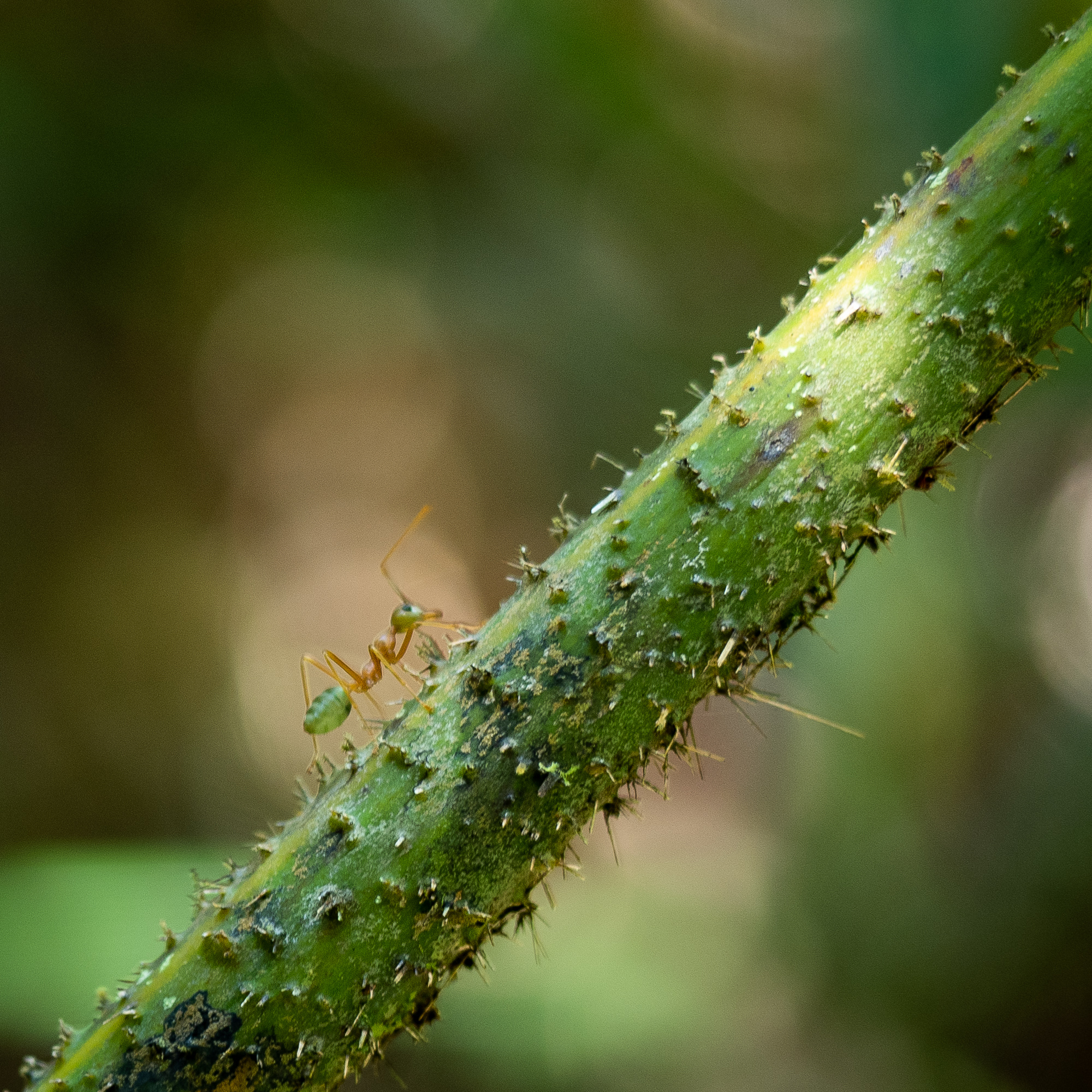
<< Photo credit: Tony – Green Tree Ant >>
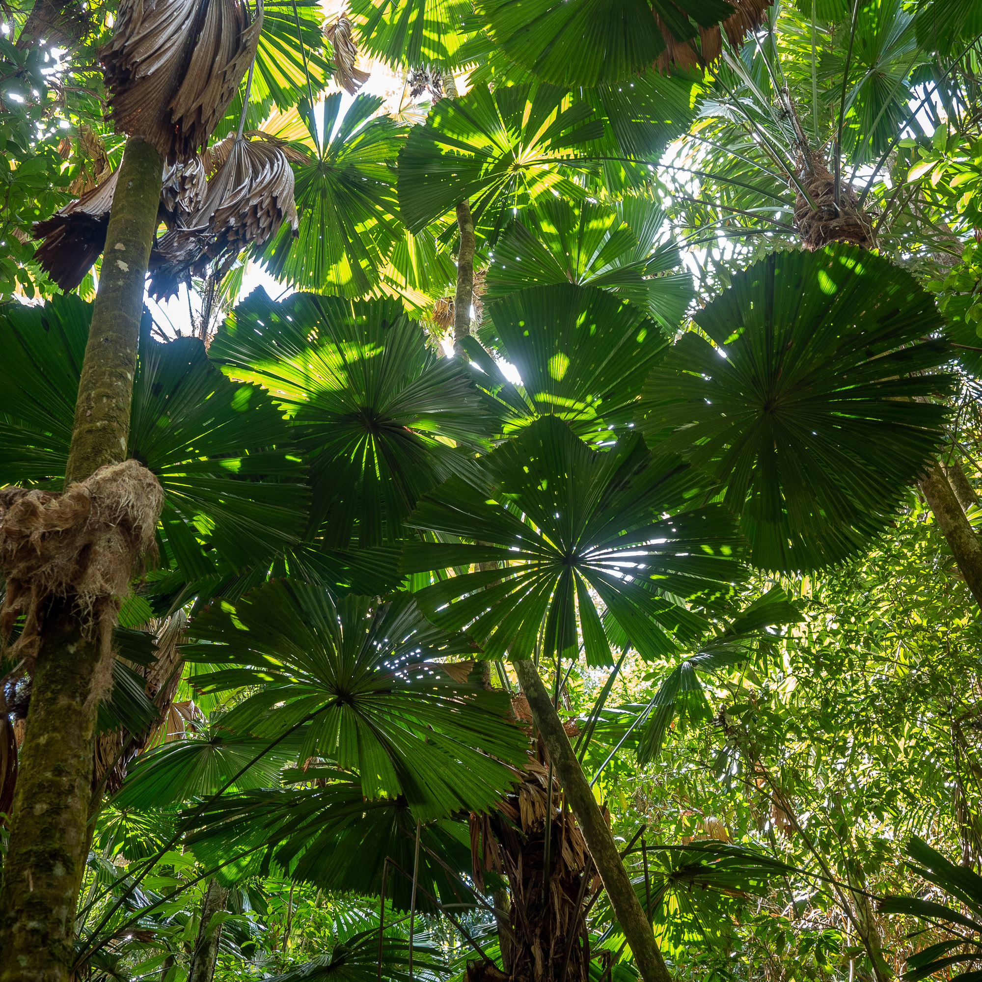
<< Photo credit: Tony – Rainforest >>
<< Photo credit: Tony – Rainforest >>
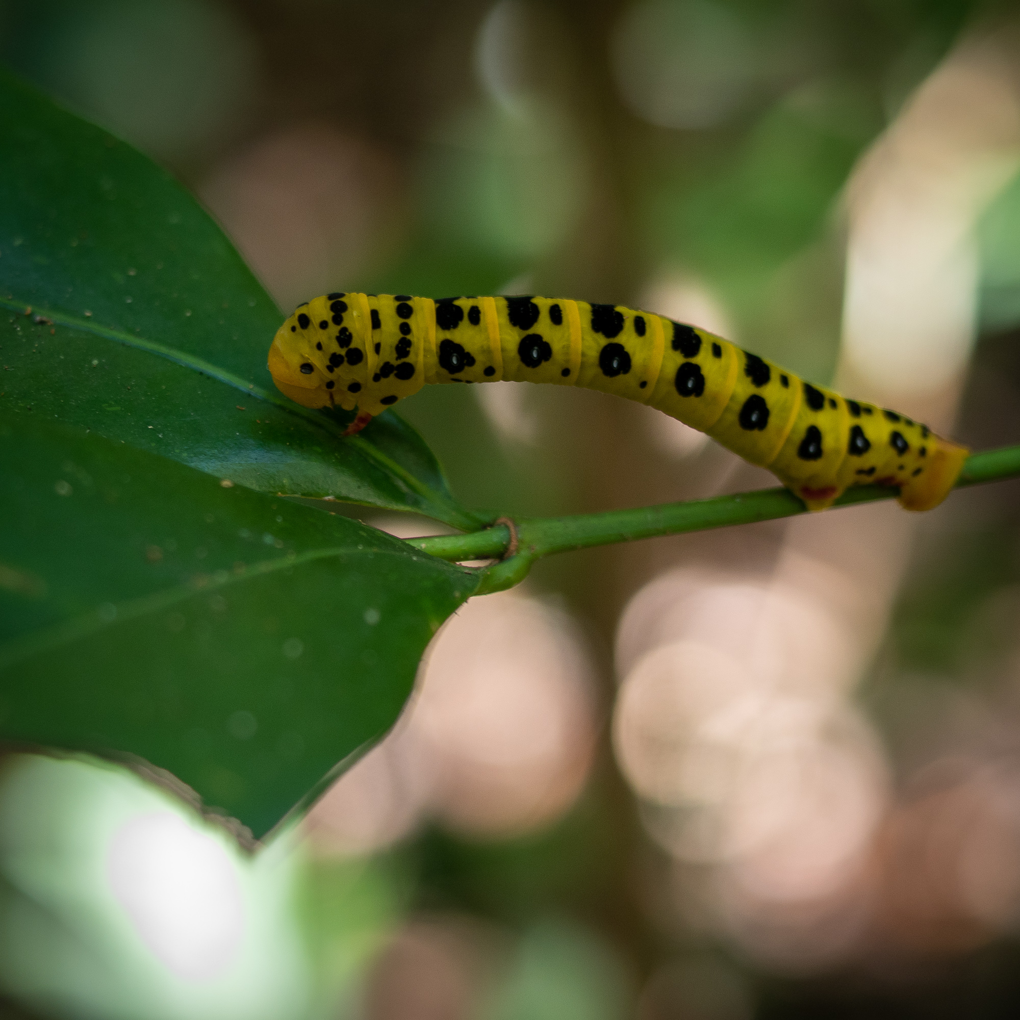
<< Photo credit: Tony – Caterpillar >>
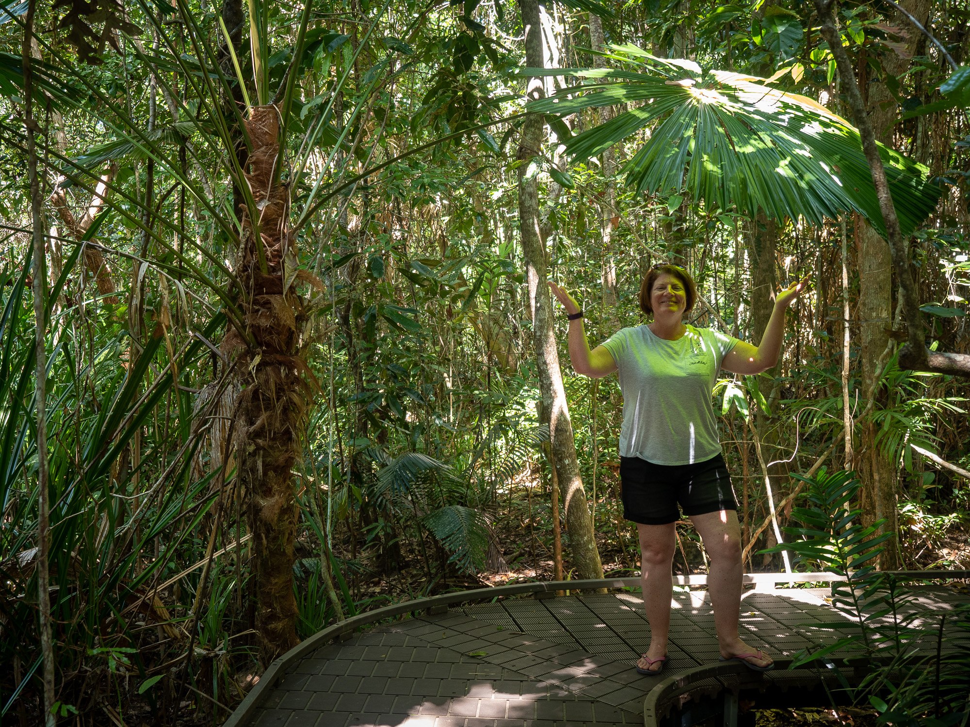
<< Photo credit: Tony – Jules “it’s not easy being green” on one of the many rainforest boardwalks >>
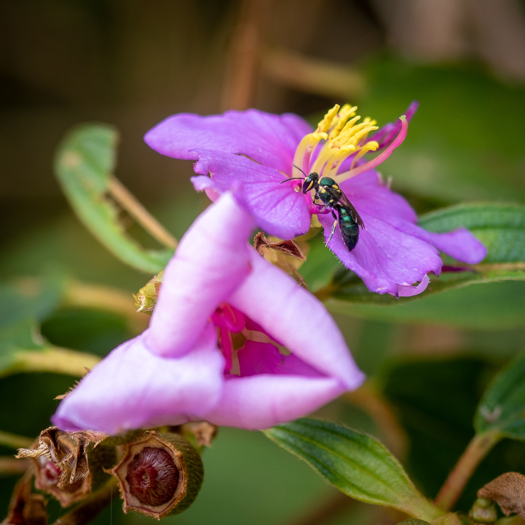
<< Photo credit: Tony – Wasp and flower >>
<< Photo credit: Tony – Rainforest >>
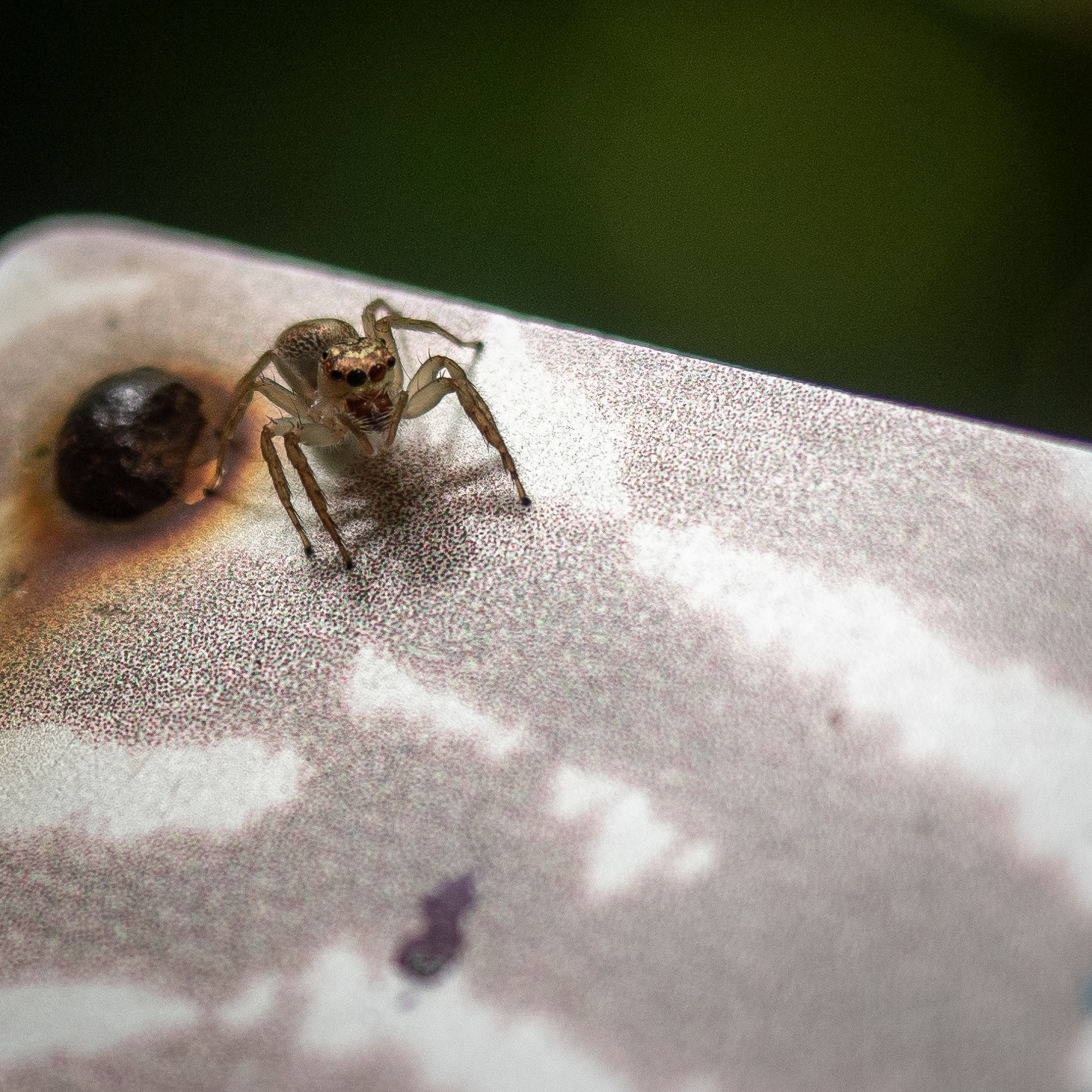
<< Photo credit: Tony – A small jumping spider on a sign on one of the boardwalks >>
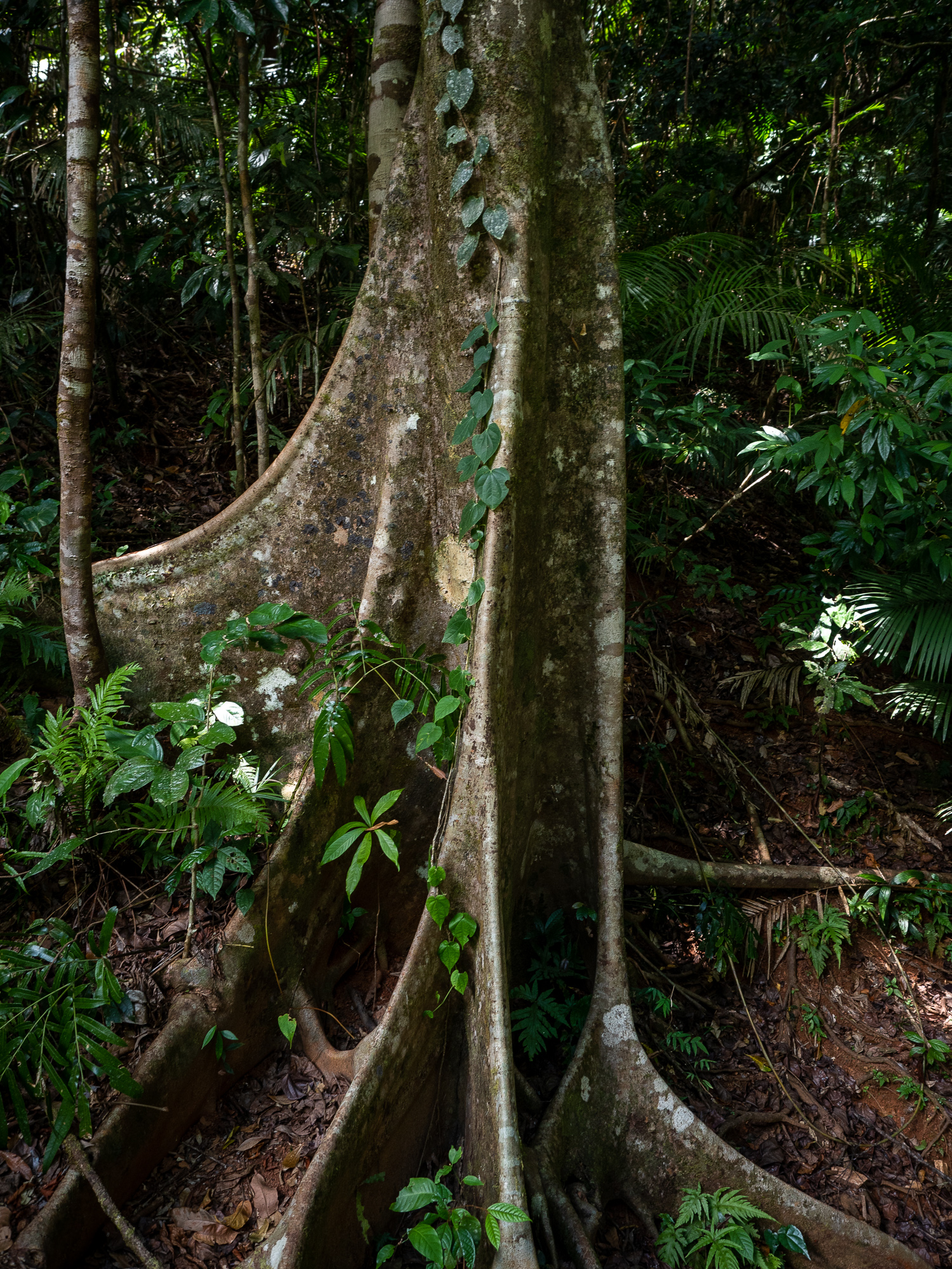
<< Photo credit: Tony – Rainforest >>
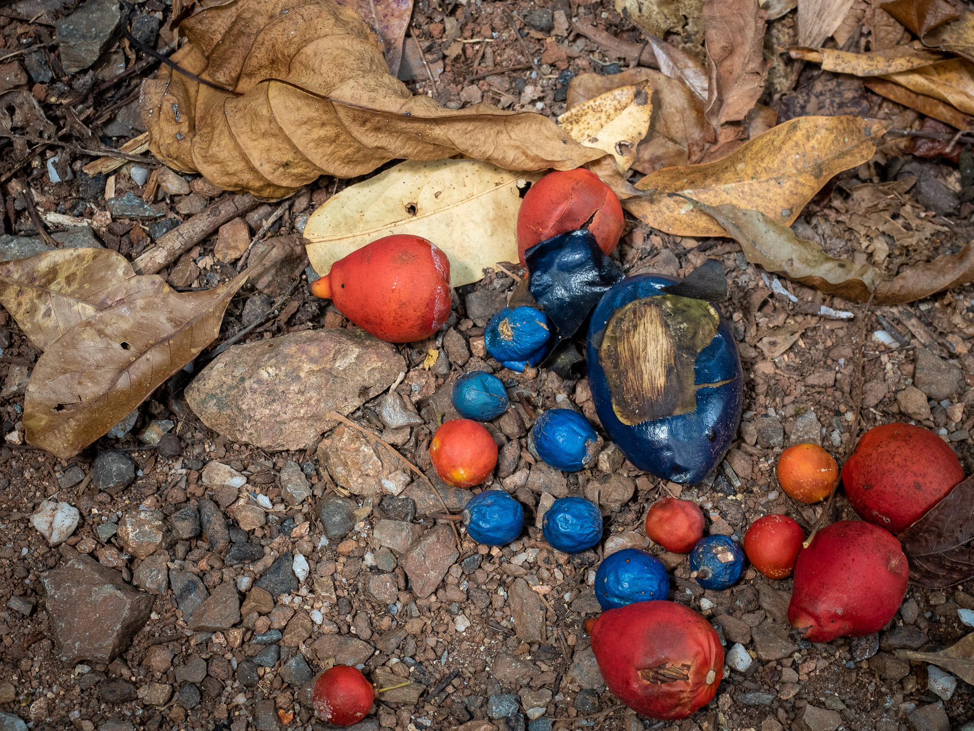
<< Photo credit: Tony – The seeds of the rainforest. Cassowary’s eat and distribute these seeds >>
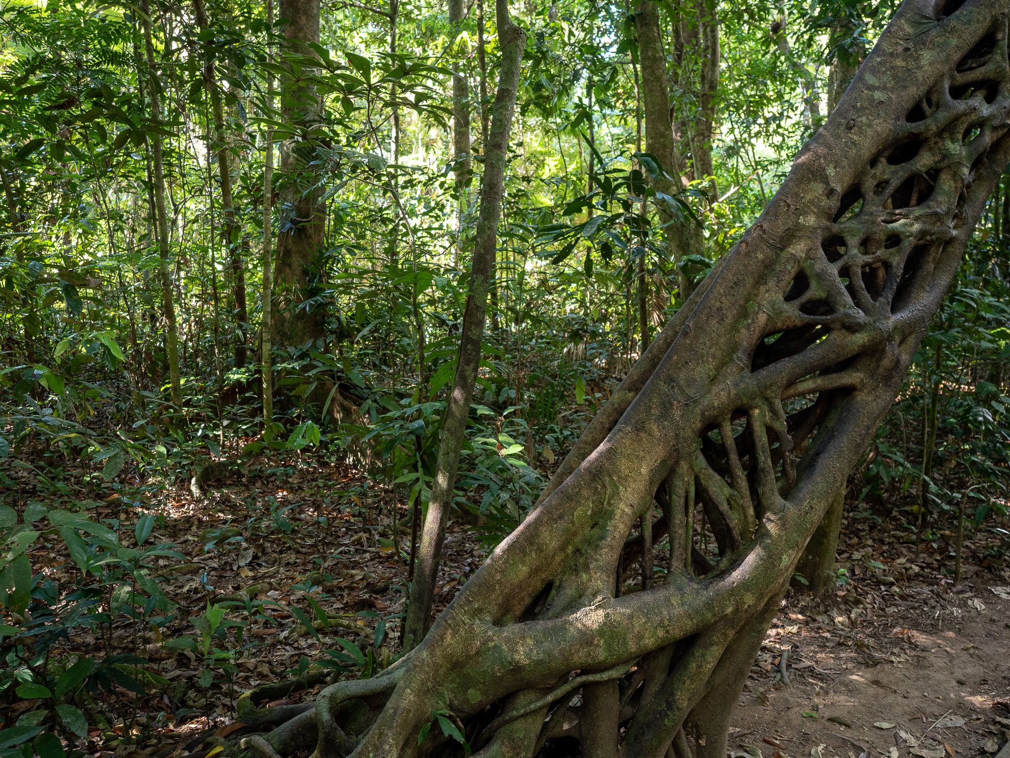
<< Photo credit: Tony – Lattice work of a Strangler Fig. These trees are deposited in the canopy on other trees by birds, where the grow down over the host tree, eventually strangling and killing it. >>
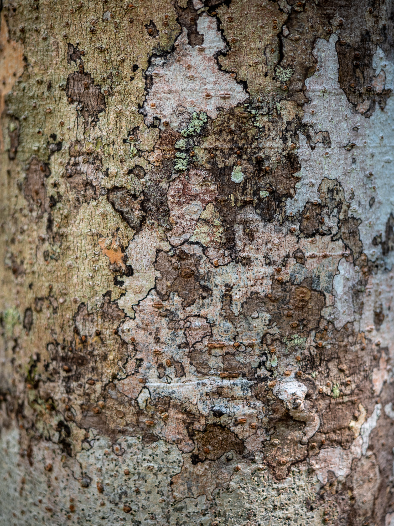
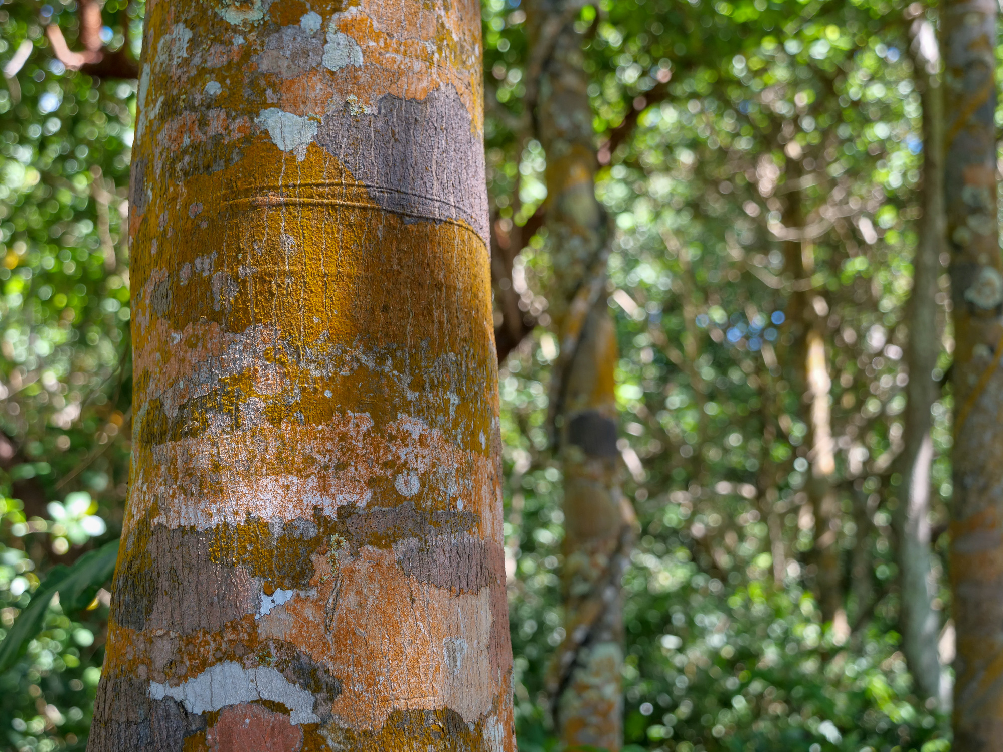
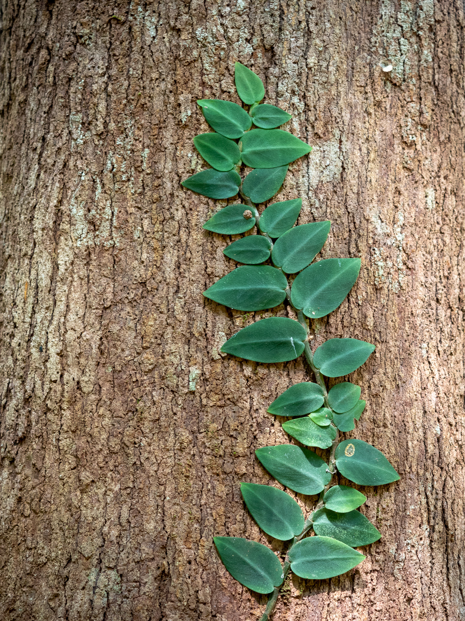
<< Photo credit: Tony – Tree bark abstract rainforest >>
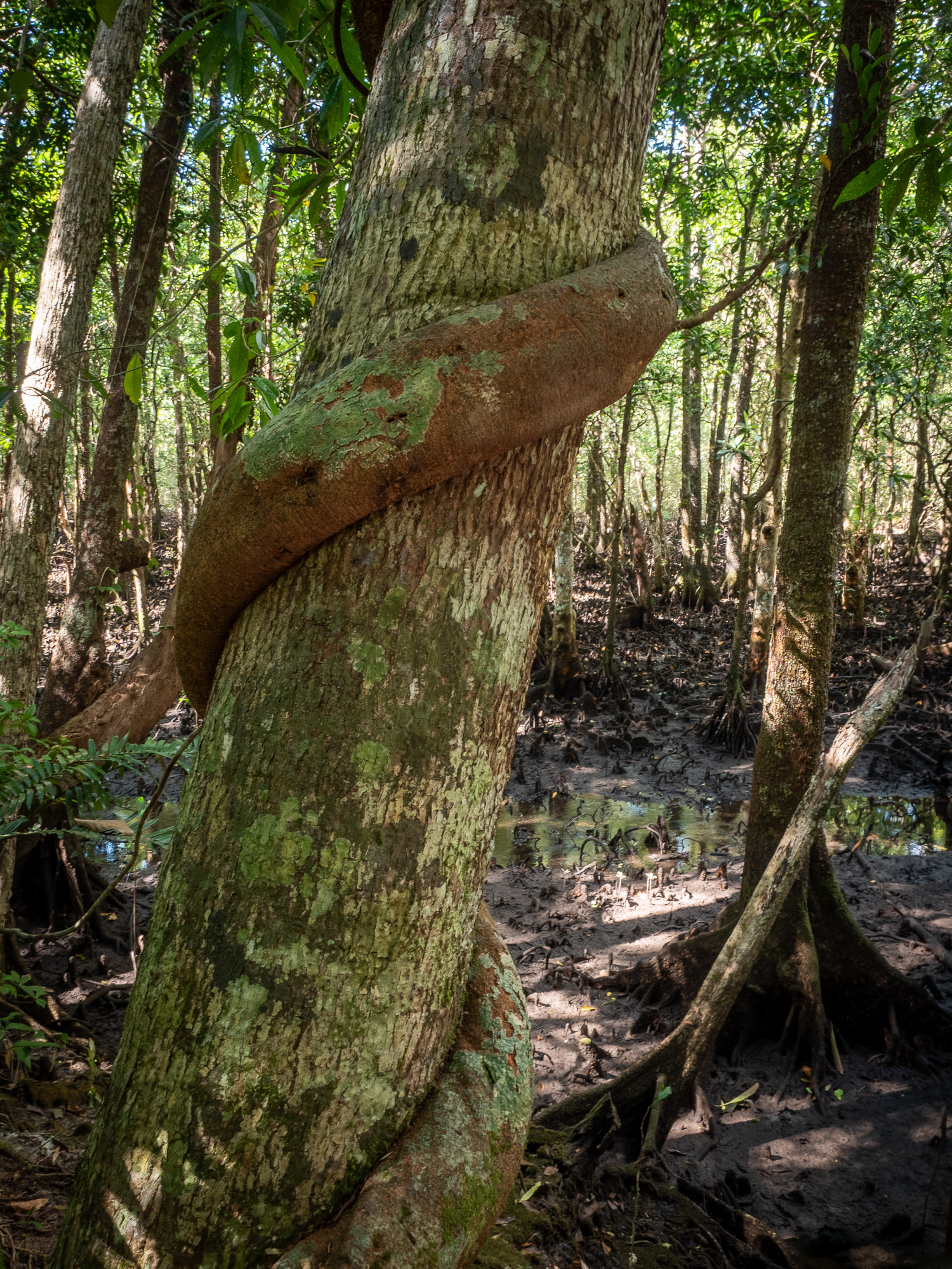
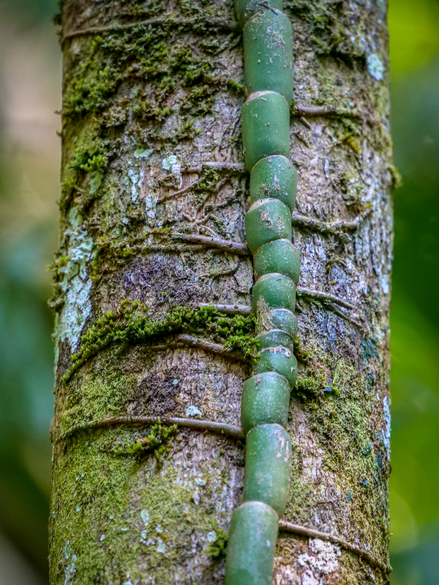
<< Photo credit: Tony – A large vine roping around a tree >>
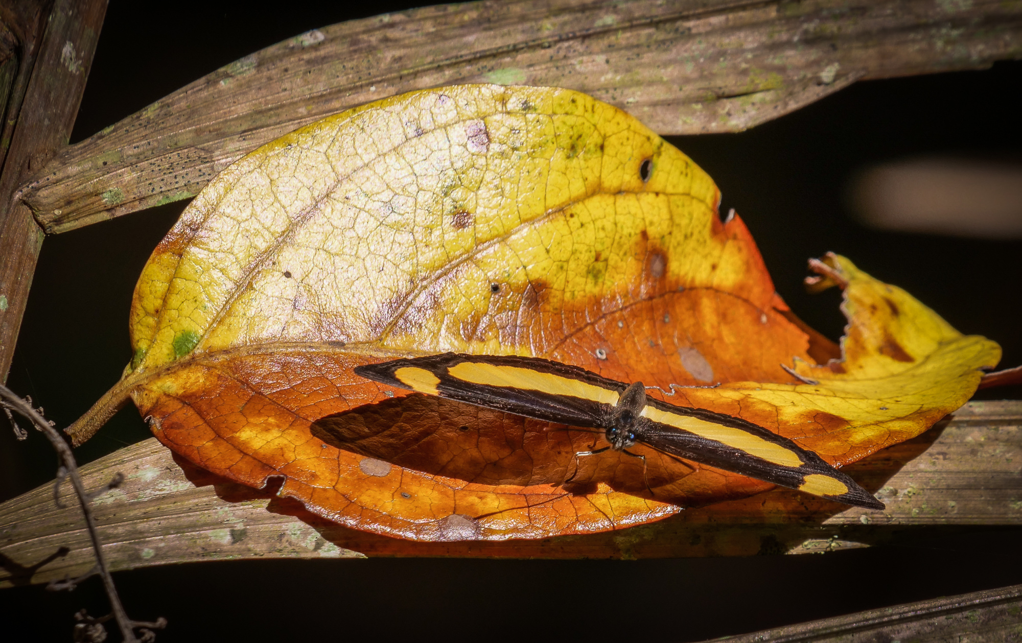
<< Photo credit: Rod – Butterfly >>
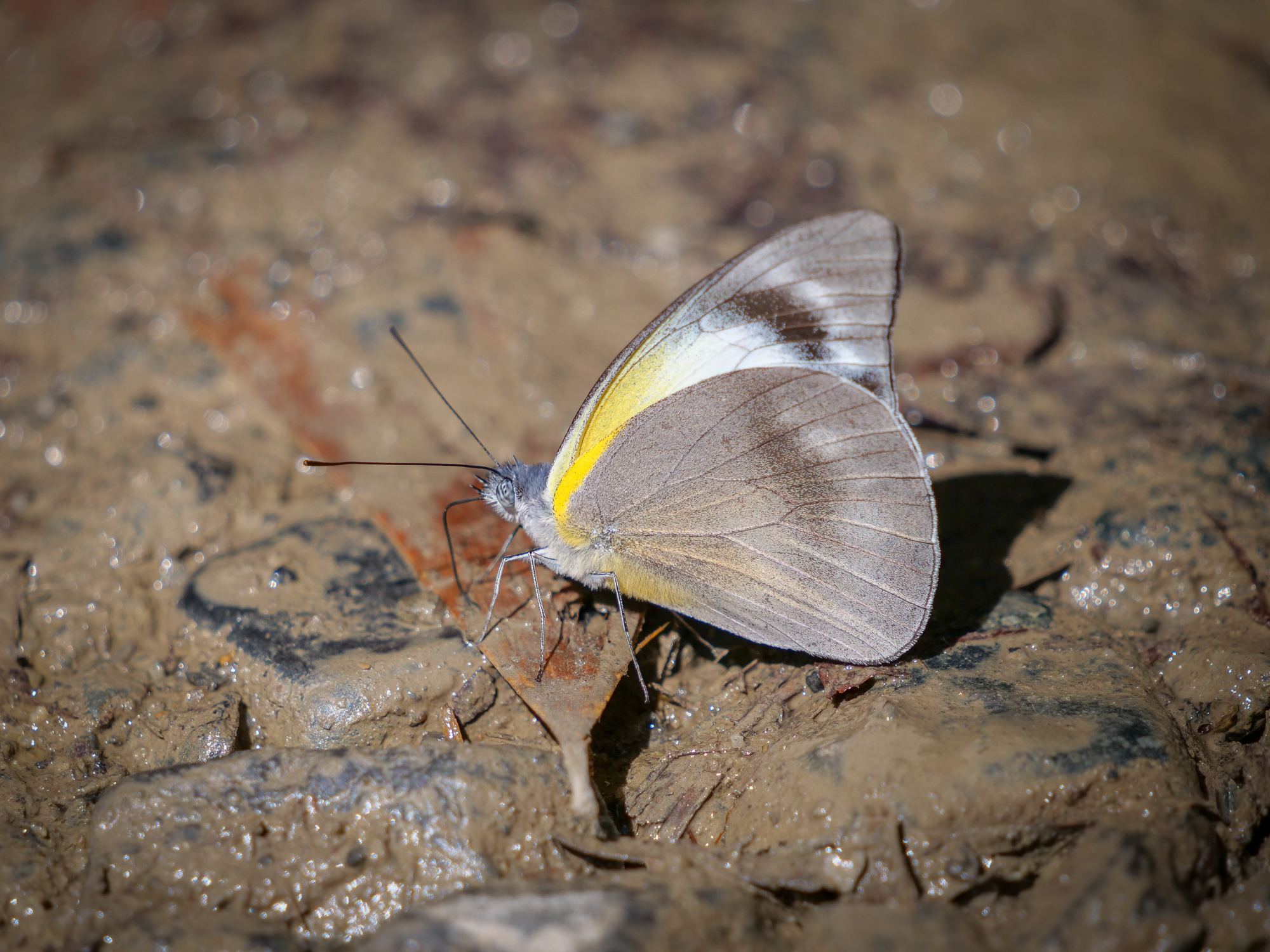
<< Photo credit: Rod – Butterfly >>
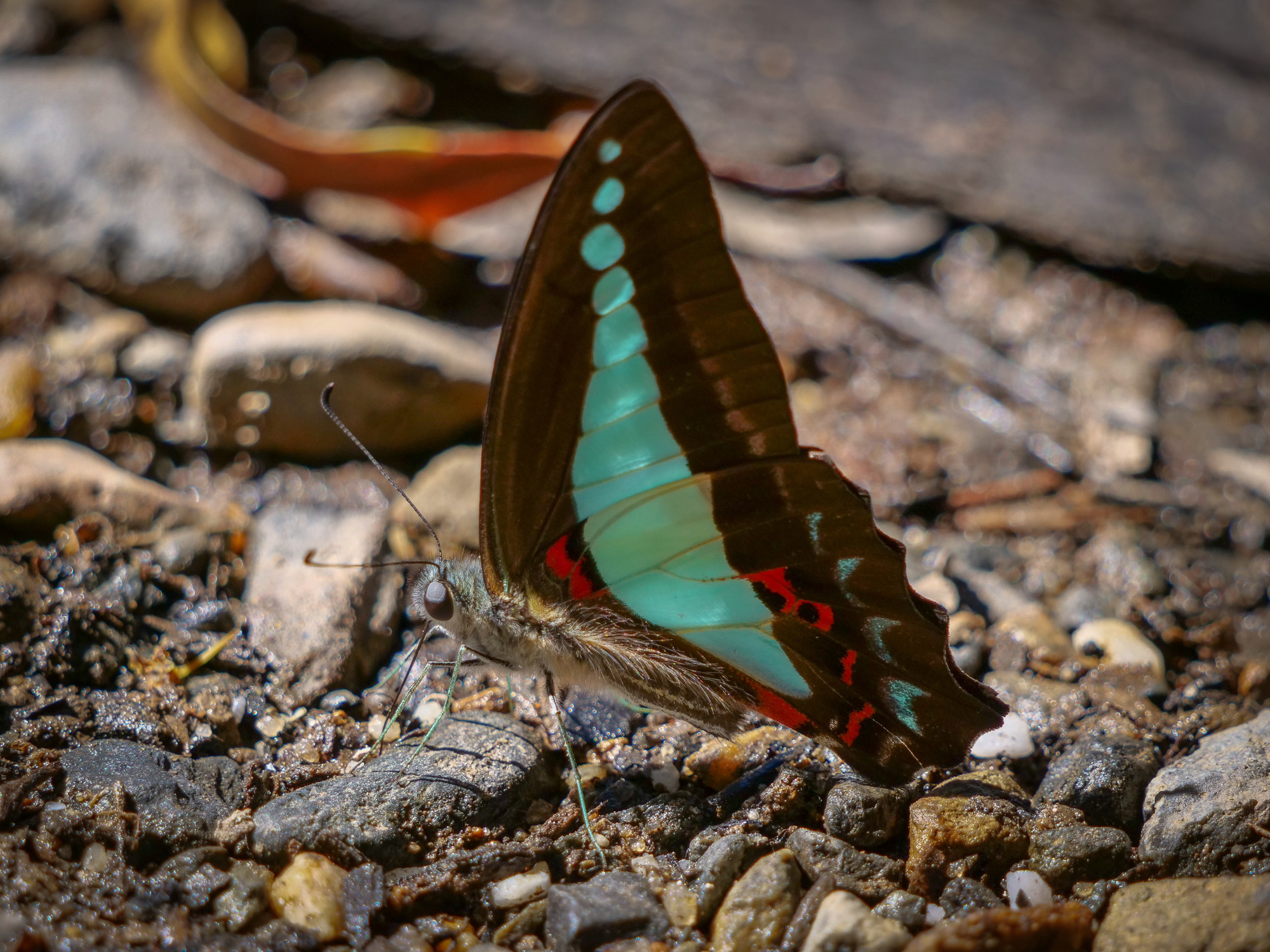
<< Photo credit: Rod – Butterfly >>
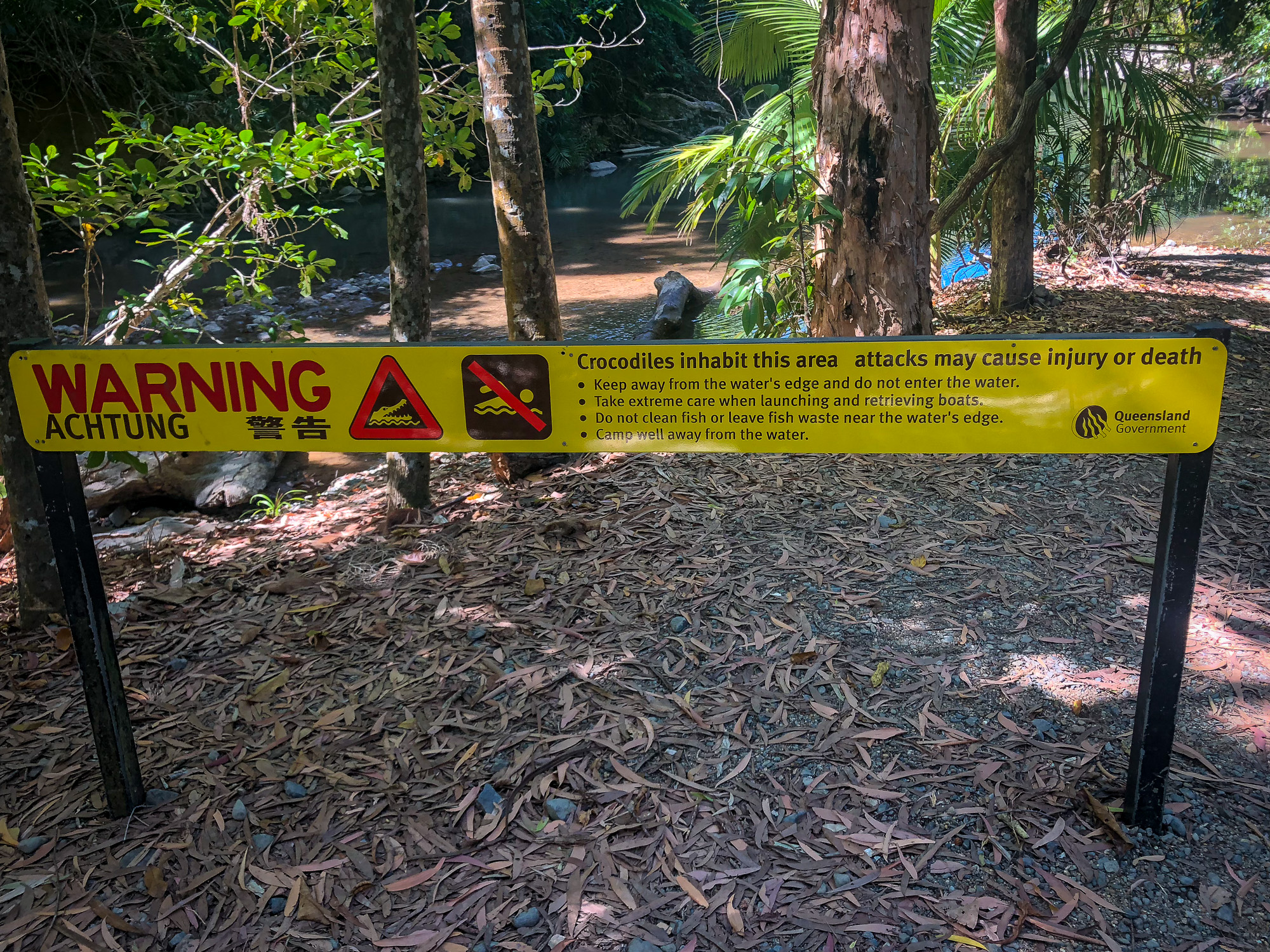
<< Photo credit: Jeff – The Crocodile danger signs at almost every river and beach in the Daintree >>
Wednesday 4th Sept. An early’ish start saw us drive the 32km long Bloomfield Track through to the Wujal Wujal community, a good test to see if we’d be able to take the caravans up this track in a couple of days. Although a bit rough in sections, we’re all confident we’d get the vans through, the only tricky bits being some very narrow and blind corners, and three sets of hills you need to cross, the first at 22O incline/decline, with the 2nd and 3rd hills being at 31O incline/decline. Tackling the 1st hill in high range, it was easy getting up, but hard to maintain a safe, slow and controlled speed driving down, so the subsequent hills were done in low range, using the engine to control our speed on the descent. En-route there are a couple of nice river crossings, one of which we took a couple of photo’s at and Rod did a drone flight on.
<< Photo credit: Rod – The view out from the Donovan Range lookout >>
<< Photo credit: Tony – The view out from the Donovan Range lookout >>
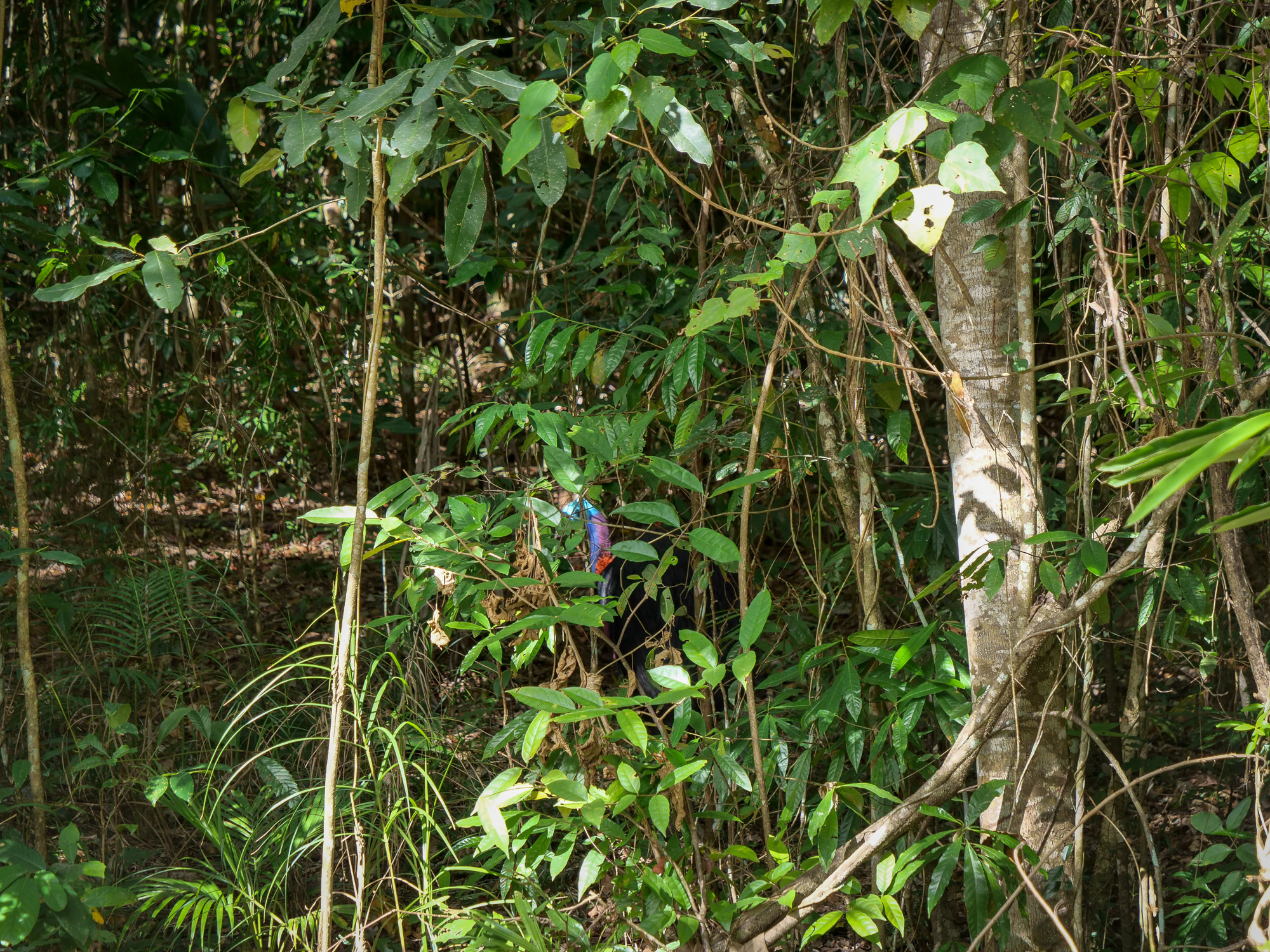
<< Photo credit: Rod – Spot the Cassowary.. Rod managed to get this shot from the car window. Jules and I also saw one a few days earlier but weren’t able to get a shot >>
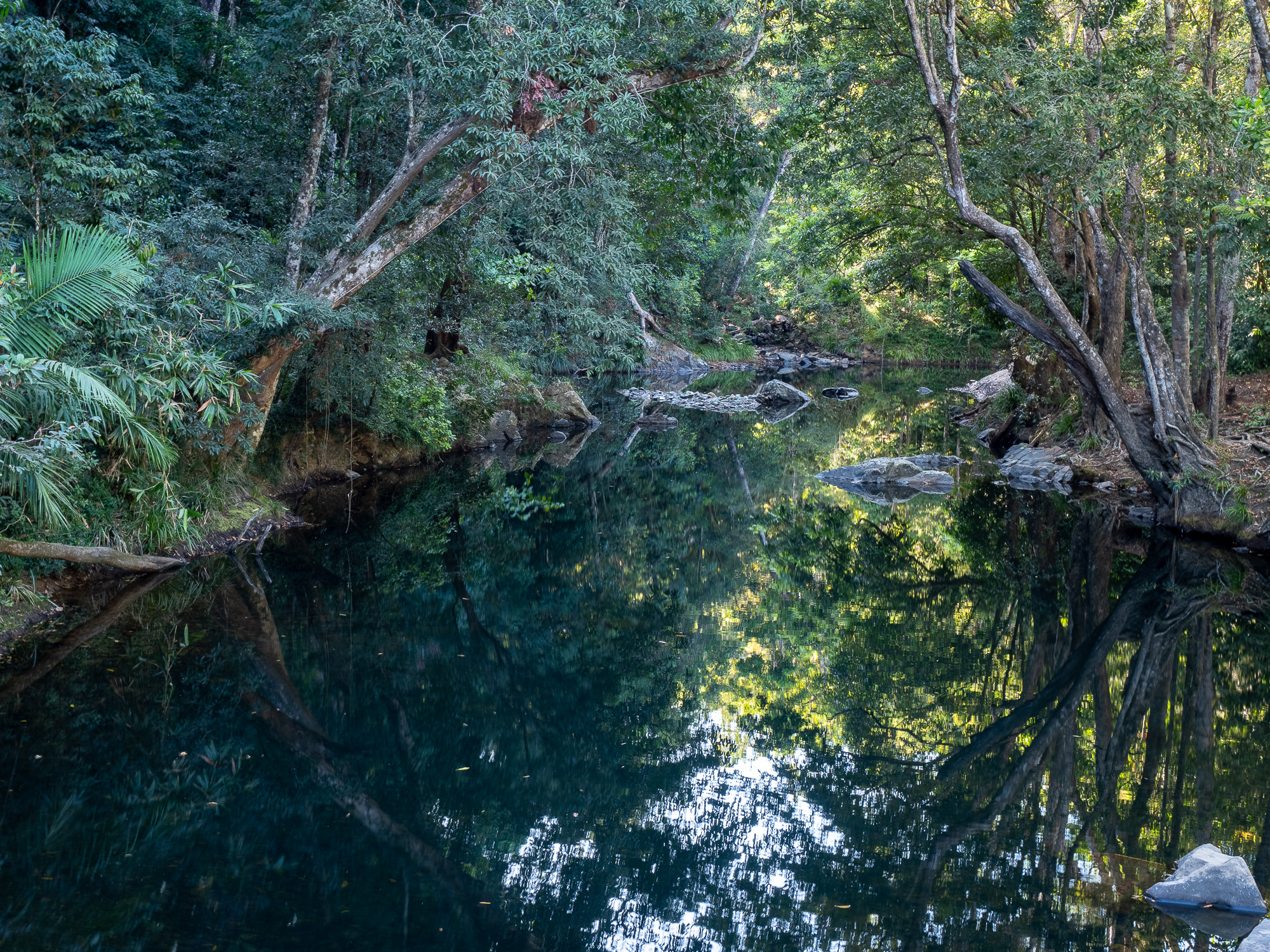
<< Photo credit: Tony – Beautiful creek on the Bloomfield Track >>
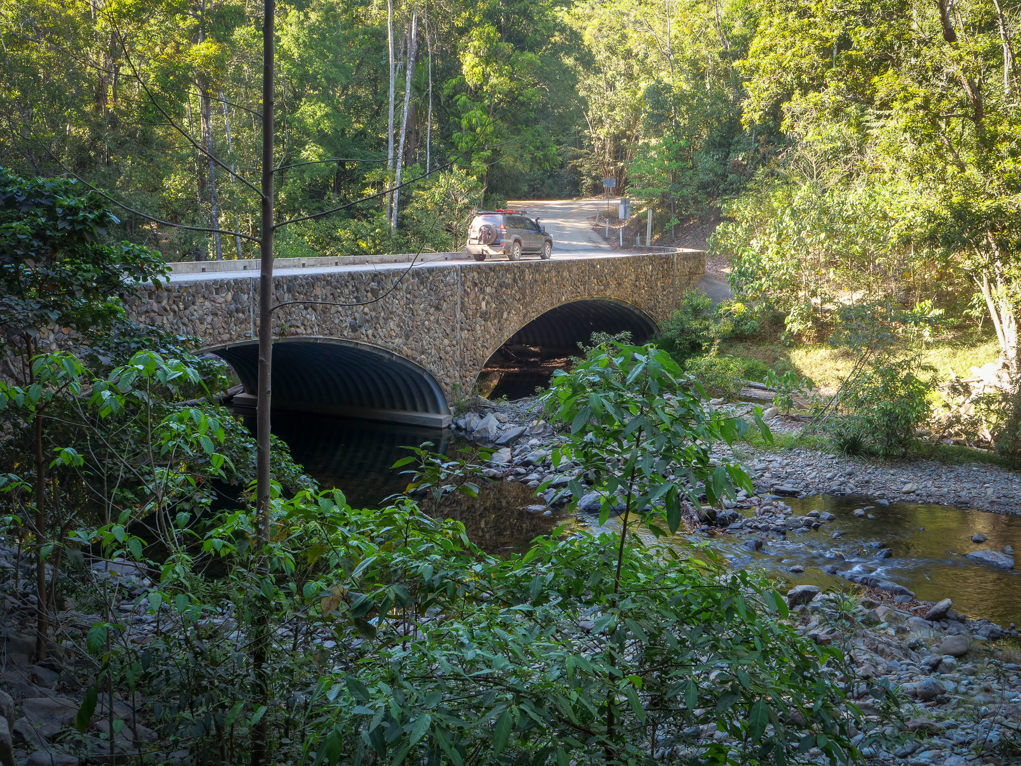
<< Photo credit: Rod – Creek crossing on the Bloomfield Track. This was the biggest bridge we saw, most were just river crossings >>
The bitumen starts again at Wujal Wujal, a very neat town on the Bloomfield River, and before we headed out towards Cooktown, our destination for today’s daytrip, we took a short detour to the Wujal Wujal Falls on the Bloomfield River. We didn’t even know these falls existed until we drove past the sign on the way through town, but they were probably the most impressive and photographic falls we’d seen on our trip so far. Suffice to say, Rod and I spent some time shooting postcards (photos).
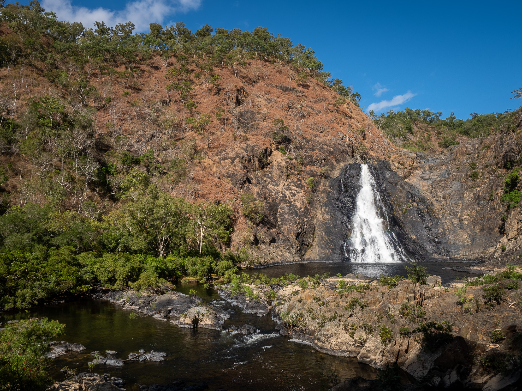
<< Photo credit: Tony – Wujal Wujal Falls on the Bloomfield River >>
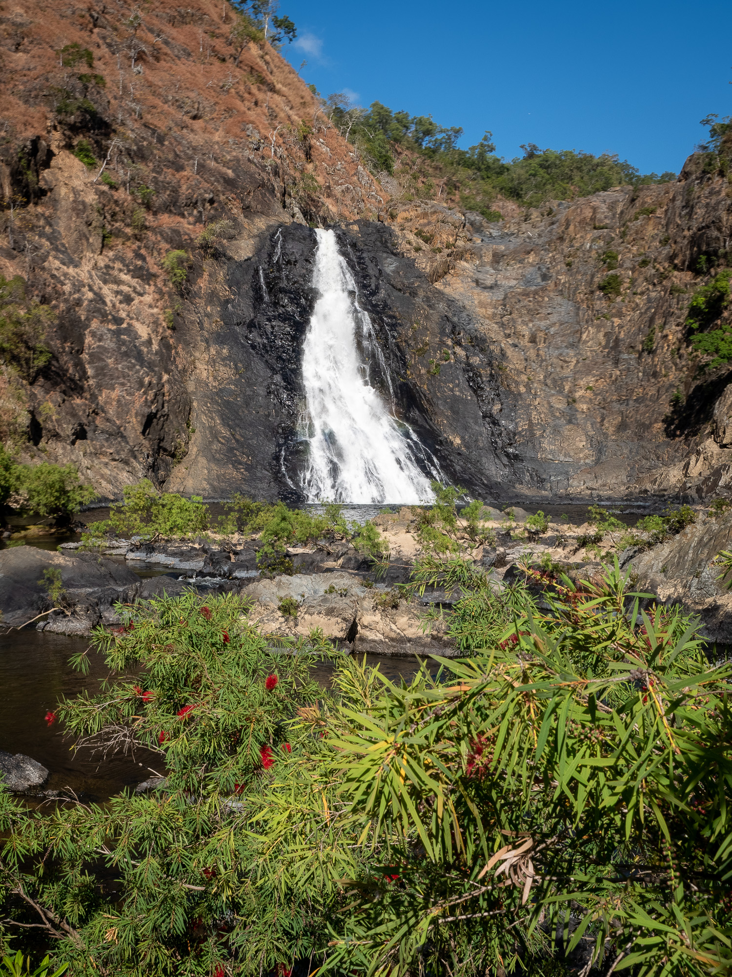
<< Photo credit: Tony – Wujal Wujal Falls on the Bloomfield River >>
Continuing on from Wujal Wujal, we passed the Lions Den historic pub which “everyone” we’d met recommended, so that was to be our lunch location, before checking out the Black Mountain lookout. Driving towards Black Mountain, I’d never seen anything like it, picture a normal hill/mountain with trees etc. on it, then draw a sharp line down the mountain and cover that side of the line in huge black boulders, so thick that almost nothing can grow on/through them. They’re a result of volcanic activity 260million years ago and are very impressive to see. Jules read on the info signs that they’re also renown for screwing up aircraft navigation systems and herds of cattle have mysteriously disappeared when herded through that area.
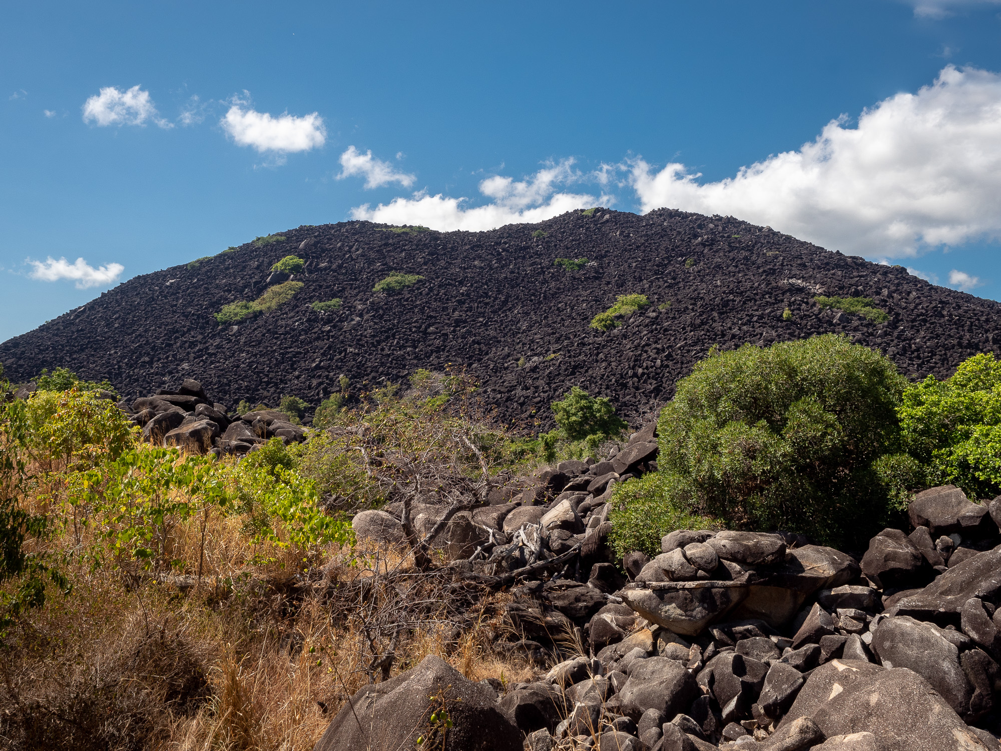
<< Photo credit: Tony – Black Mountain >>
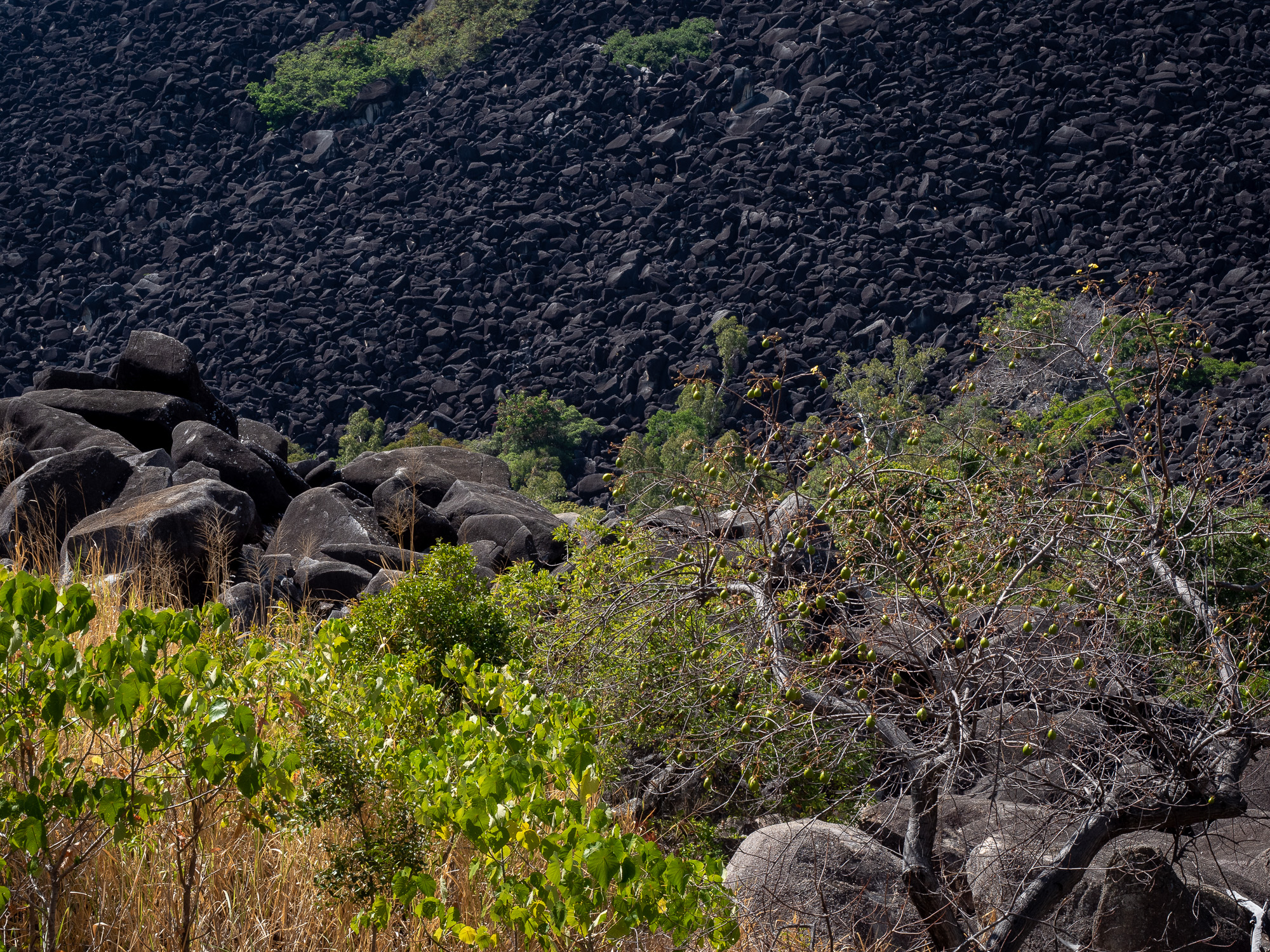
<< Photo credit: Tony – Black Mountain >>
Finally, it was into Cooktown for a lovely coffee at the Driftwood Café, check it out the coffee and cakes are fantastic, then a drive around town to see the sights, before restocking beverages and food. Again, everyone recommended visiting Cooktown and whilst the town itself is very nice, it reminded us of a typical coastal town almost anywhere north of Geraldton, imagine Denham crossed with Carnarvon and you’ve got the idea. What was nice though was seeing the monuments to Captain James Cook who landed there in 1770. Lunch and a cold beer was had at the Lions Den pub on the way back to camp. Cold beer and a bowl of chips, food fit for gods, was consumed and a few pics taken of the pub, the walls of which are covered in writing. Again, Jules being the info sign reader that she is, noted that the writing on the pub walls started back in the 1800’s when the first gold and tin miners used to write their wages and beer tab on the wall so they knew how liquid they were week to week. Today it’s mostly covered in the “Wally was here 2018” dribble you see on most dunnies around Australia and they have now banned this practise.
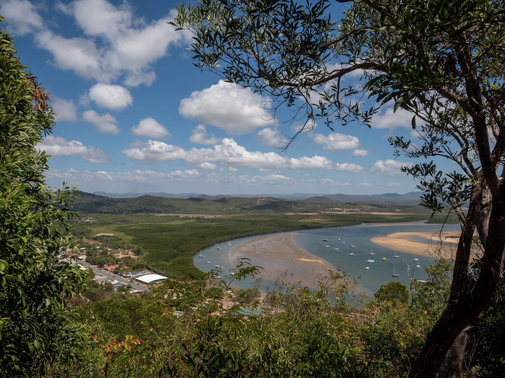
<< Photo credit: Tony – The view out from Grassy Hill, over Cooktown and the estuary >>
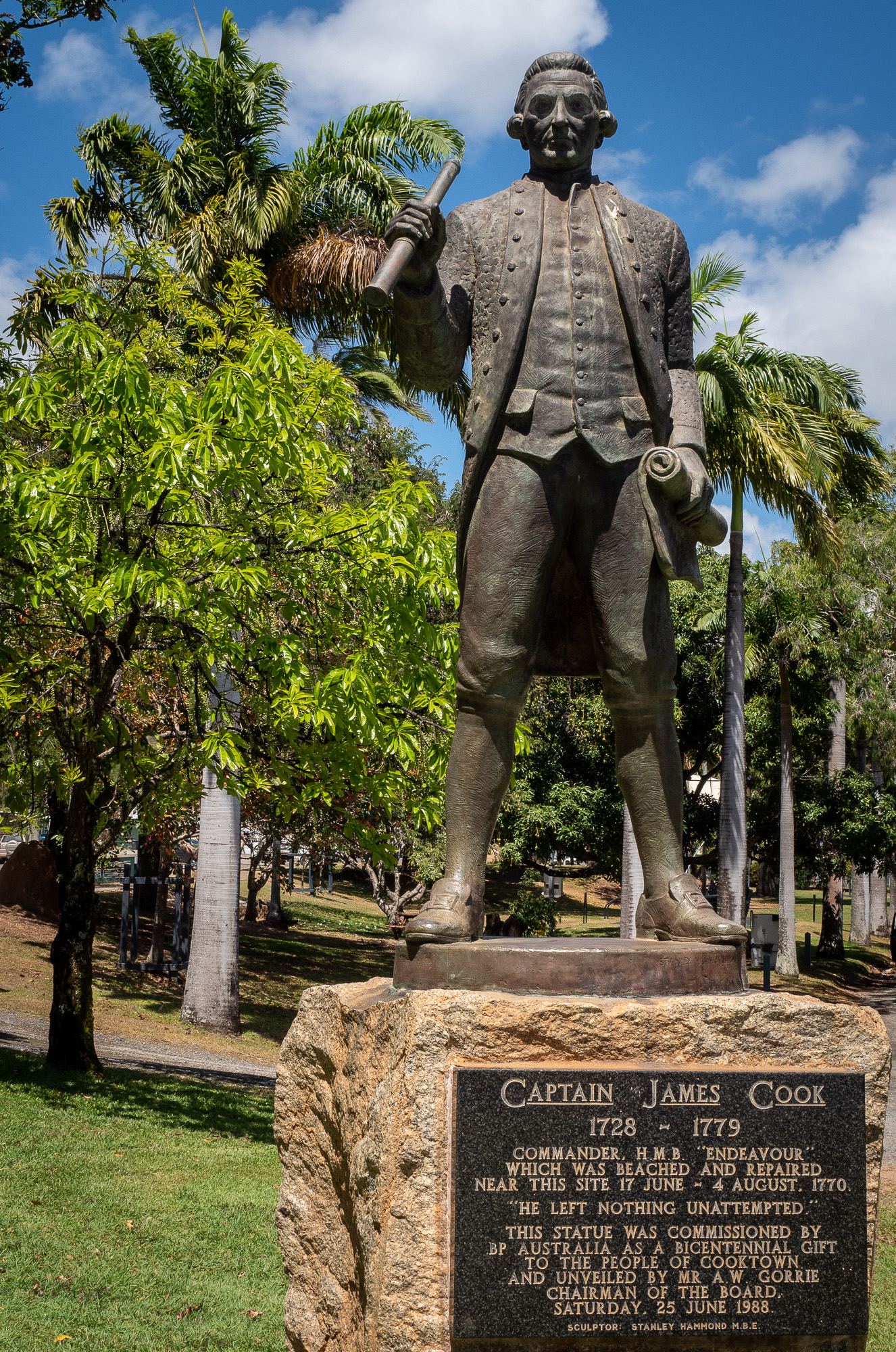
<< Photo credit: Tony – A monument to Captain Cook in Cooktown >>

<< Photo credit: Tony – View out to the ocean from Grassy Hill in Cooktown. Note the sandbars out there, which Cook talks about in the next photo. >>
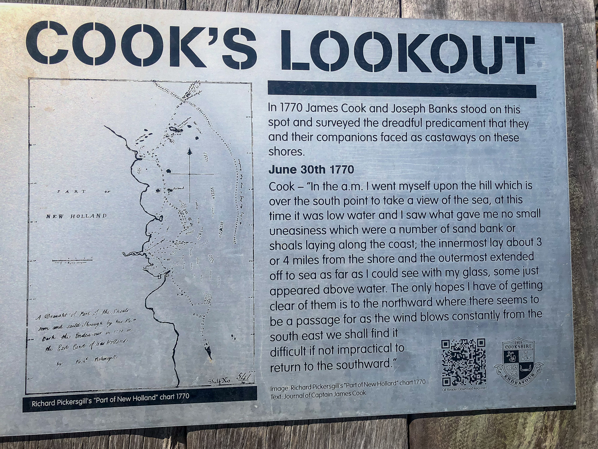
<< Photo credit: Jeff – Cooks notes. >>
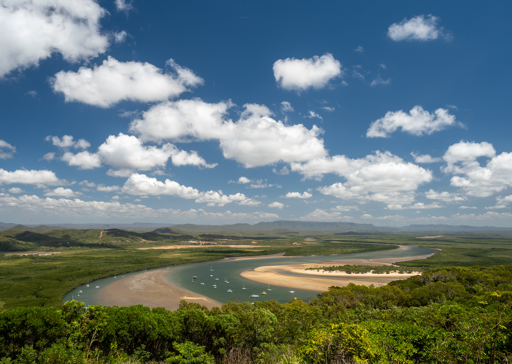
<< Photo credit: Tony – View out over Cooktown from Grassy Hill. >>
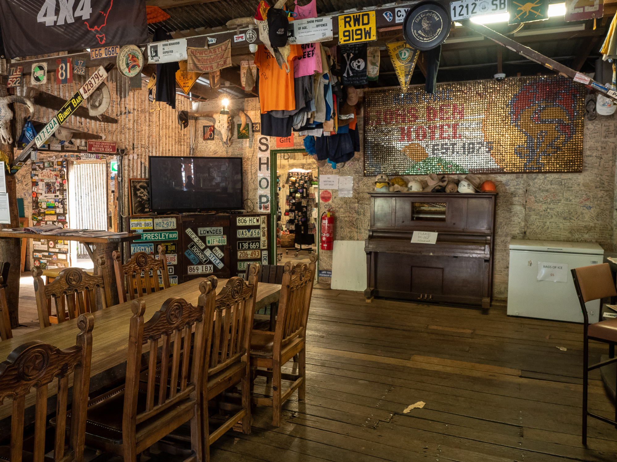
<< Photo credit: Tony – Inside the Lions Den Hotel. >>
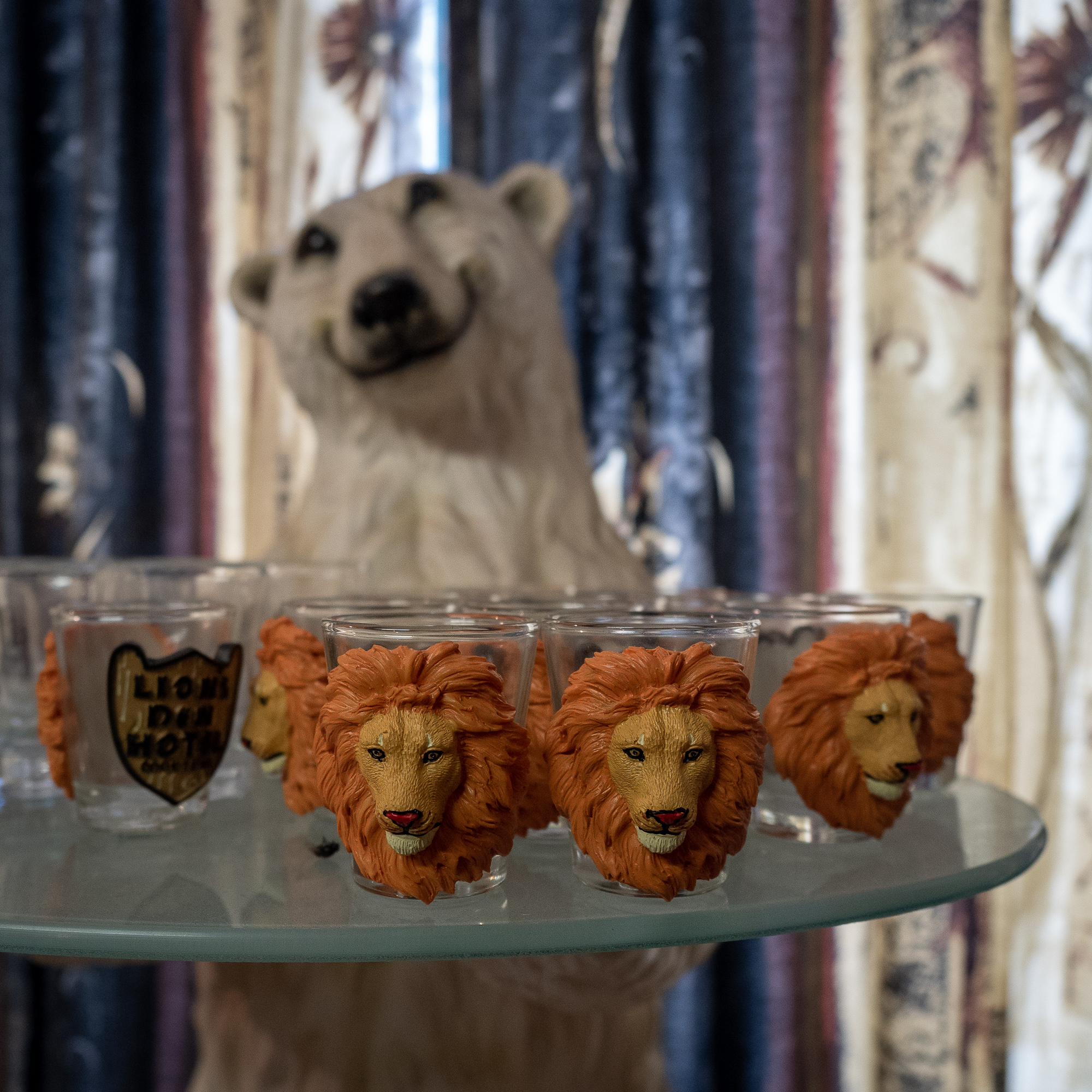
<< Photo credit: Tony – Inside the Lions Den Hotel giftshop. >>
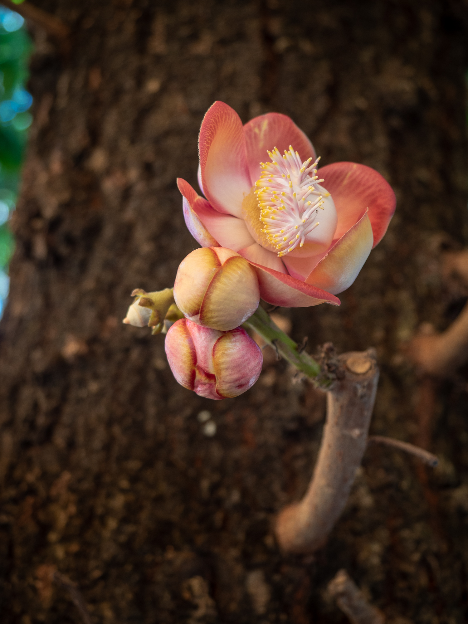
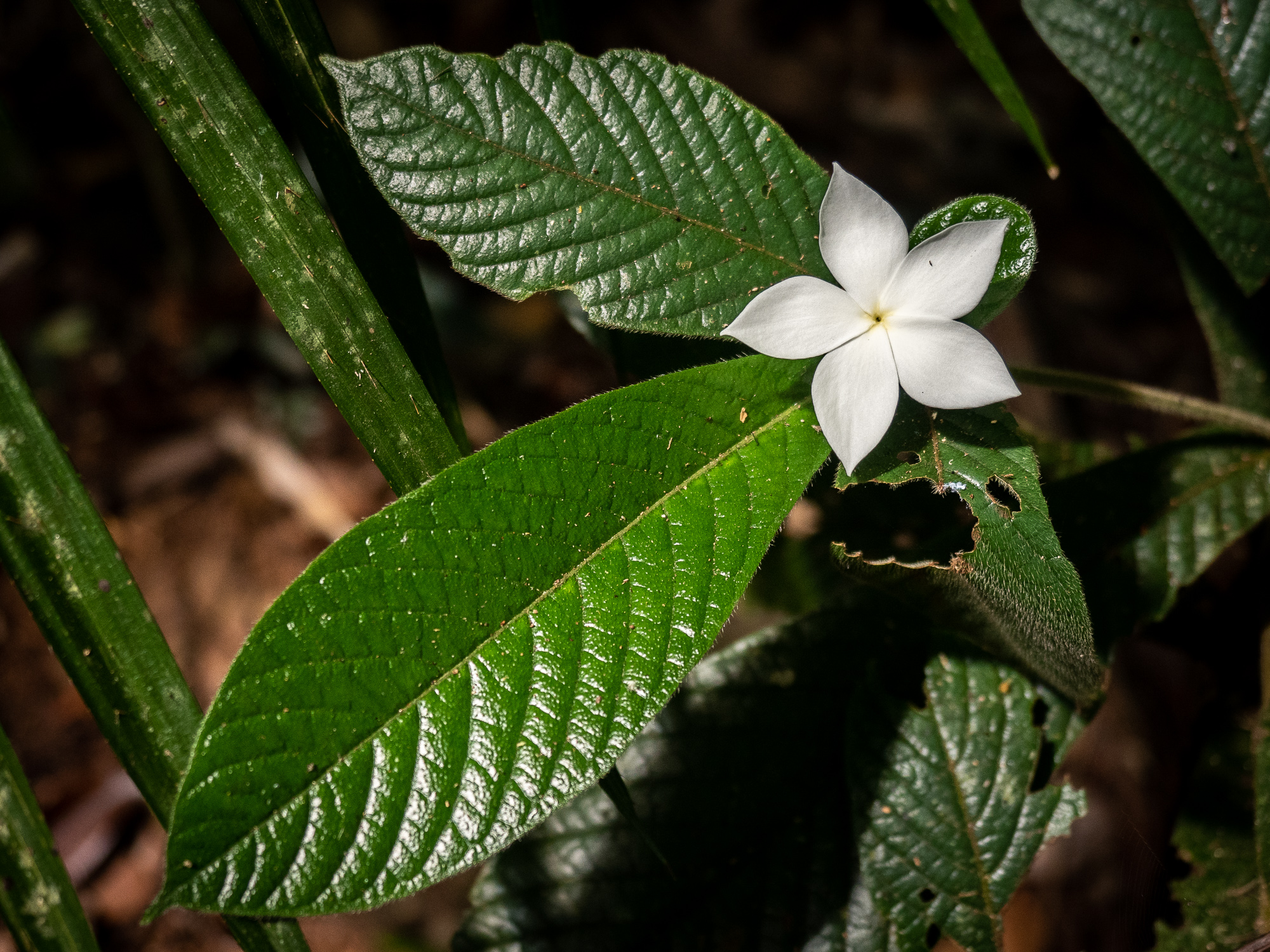
<< Photo credit: Tony – Flower at the Lions Den Hotel. >>
Thursday, 6th Sept. I (Tony) had planned to do the Mount Sorrow ridge walk hike today, but a shitty night’s sleep with a light shower put the kybosh on that. We’d read that after rain the hike is covered in leaches and I hate those slimy little buggers, so opted instead for a chilled day, doing some more local exploring and a spot more fishing. With a really low tide, Rod and I were able to walk out to the edge of the reef, Nemo would call it “The Drop Off”, casting lures out for the predators that didn’t lurk beneath the waves. No luck there, we then walked up to the creek and threw lures around a very picturesque but fishless bend in the creek, all the while keeping a very close eye out for Mr Crocogator that inhabits the creek. We didn’t see any croc’s but a falling Coconut in the bush scared the crap out of me, and Rod and I heard a louder and longer splash a bit later that sounded suspiciously like a large animal sliding into the water. Suffice to say, we called an end to the fishless fishing session.
Tomorrow, Friday 7th Sept., we’re back up the Bloomfield Track, this time with caravans in tow, heading towards the first stint of the Cape York trek, aiming for Musgrave Station tomorrow night. The story of which will be in our next blog post.
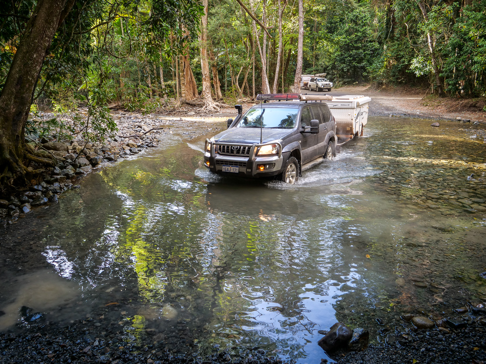
<< Photo credit: Rod – Us, with Jeff behind, crossing the Emmagen Creek at the start of the Bloomfield Track. >>
Great Macro, glad I’m not a Cassowary.
Another Outback Aussie Adventure….